Intégration des plateformes LiDAR
Au cours de nos années d’expérience, nous avons testé plusieurs plateformes de drones. Vous trouverez ci-dessous une liste de drones que vous pouvez utiliser en toute sécurité avec votre système LiDAR YellowScan. Nous vous recommandons de respecter la capacité maximale de charge utile définie par les fabricants de drones pour chaque drone.
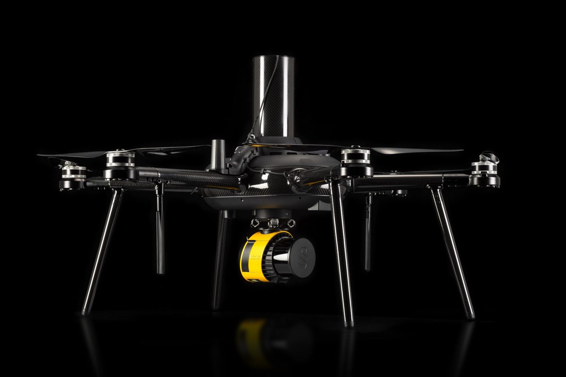
- Drones multi-rotors
- FreeFlyAstro
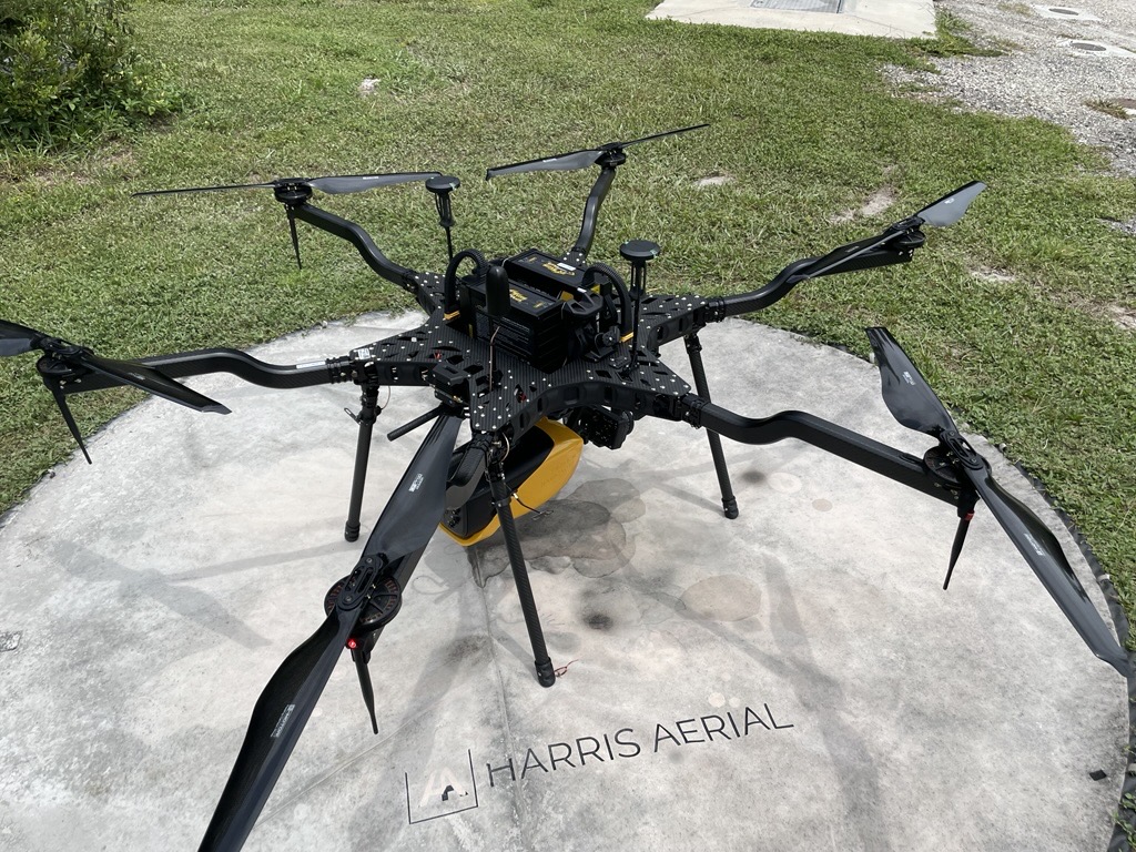
- Harris AerialHX8
- Harris AerialH6 Electric
- ArgosdyneAquila
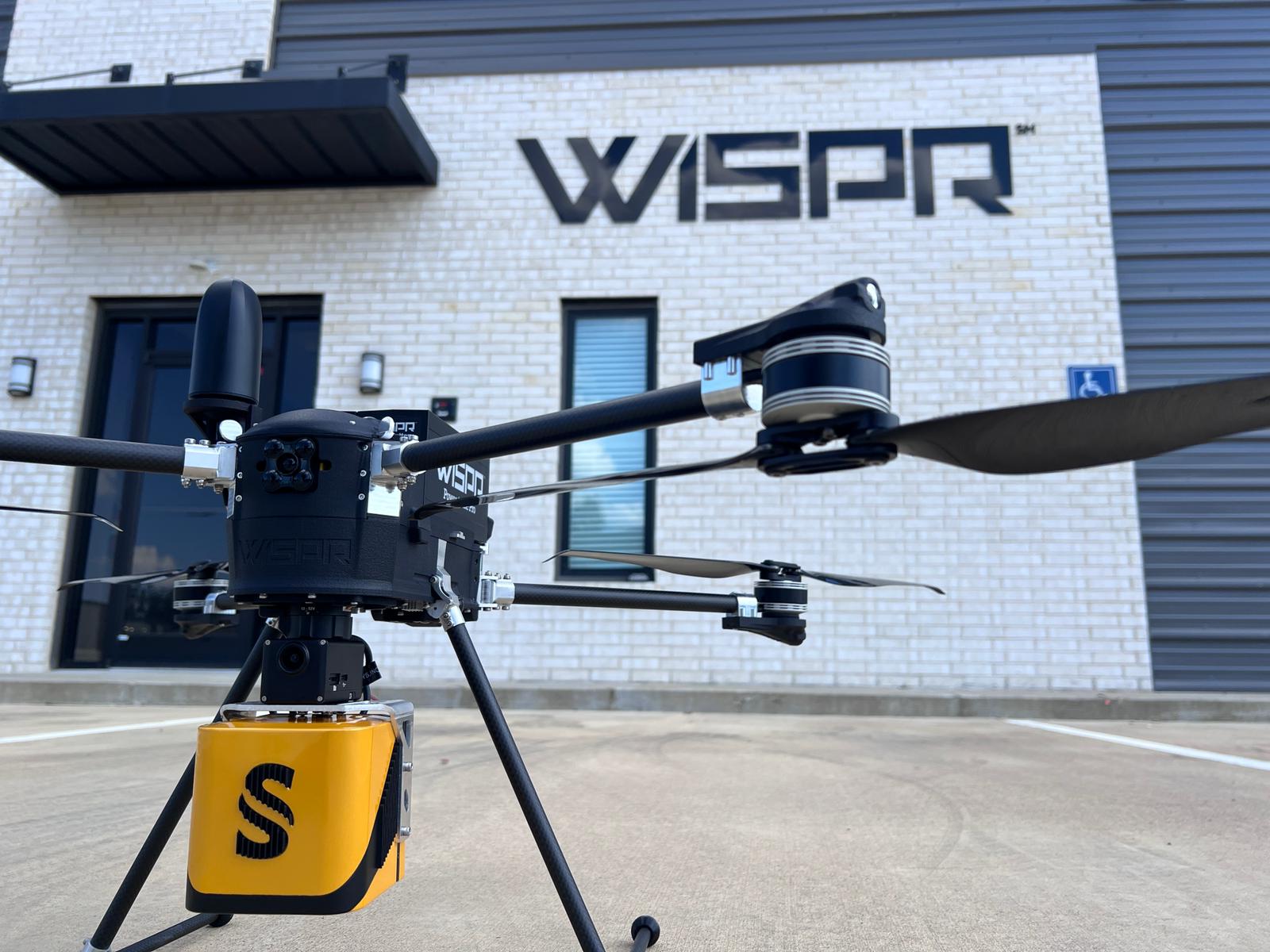
- WISPRSkyScout
- Nokia5G drone
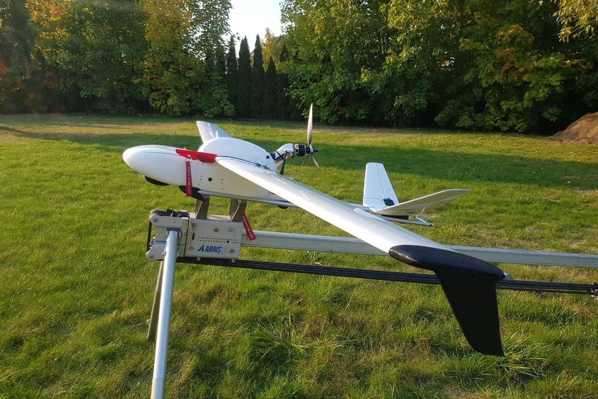
- Abris AeroBeetle UAV
- SkyCutterGryphon
- XER TechnologiesX8 hybrid-electric
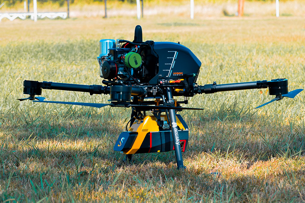
- ArcskyX55 Hybrid
- ArcskyX55
- Inspired FlightIF1200A
- AcecoreZoe
- AcecoreNoa
- AerospaceSensus 8
- ClogworksDMhX Gen 2
- ClogworksDMqD Gen 2
- SkyfrontPerimeter 8 multi-rotor
- DJIMatrice 600 (M600)
- DJIMatrice 400 (M400)
- DJIMatrice 300 (M300)
- DJIMatrice 210 (M210)
- DJIMatrice 200 (M200)
- FLIRSkyRaider
- Freefly SystemsAlta X
- Harris AerialH6
- HexadroneTundra 2
- HexadroneTundra
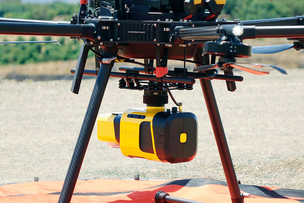
- Inspired Flight Technologies1200
- MicrodronesMD4-1000
- MikroKopterMK8
- MSPHawk Moth
- VideodroneGeoDrone X4L
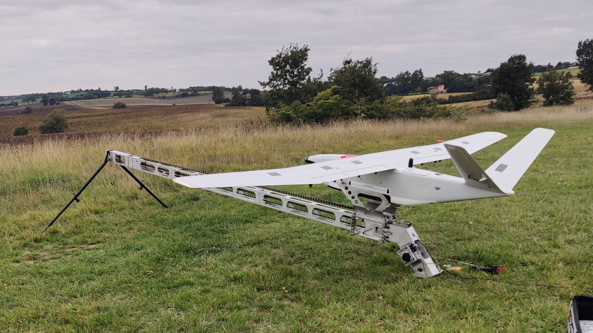
- Drones à voilure fixe
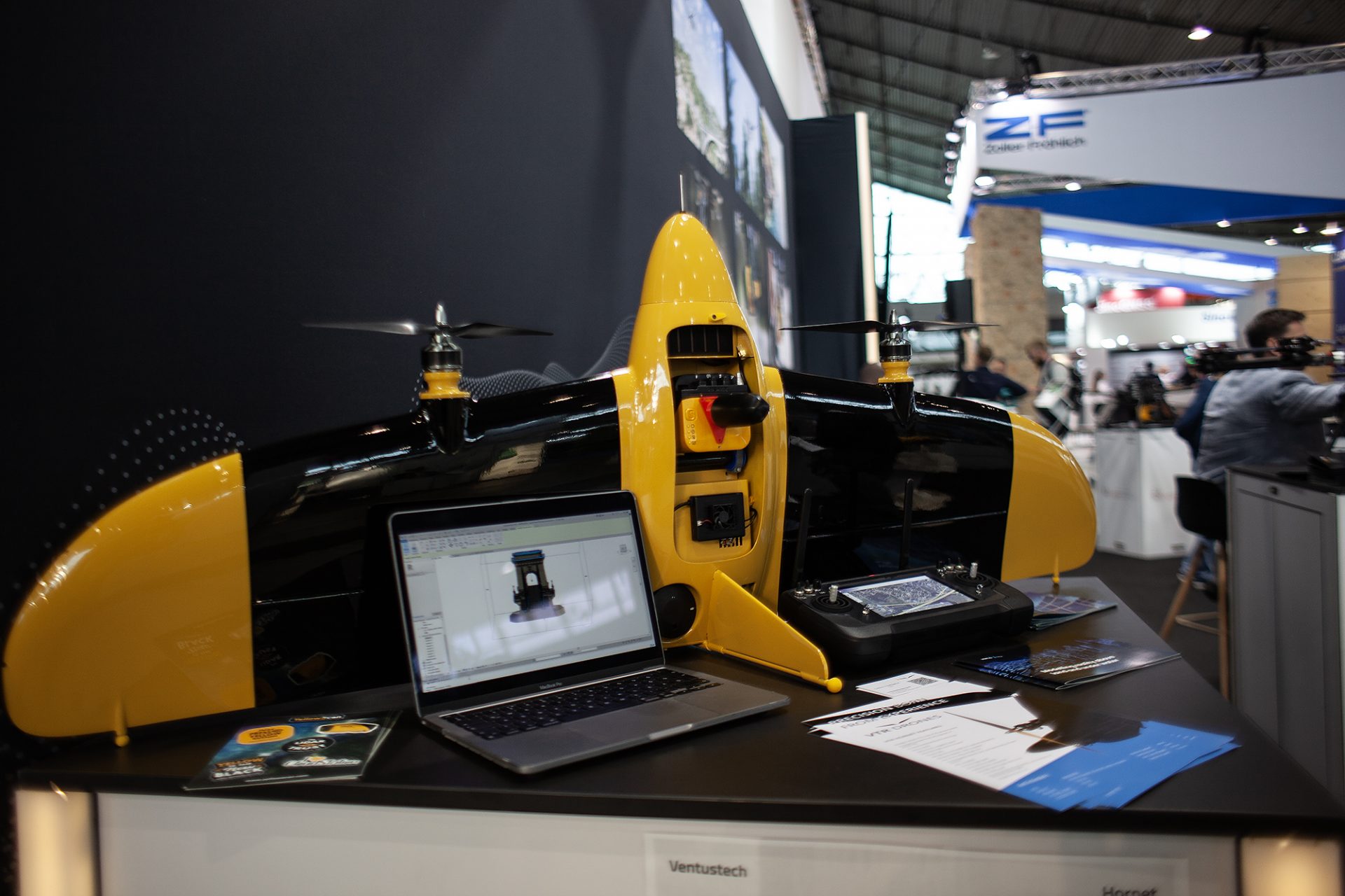
- VentustechVTR Drone Hornet
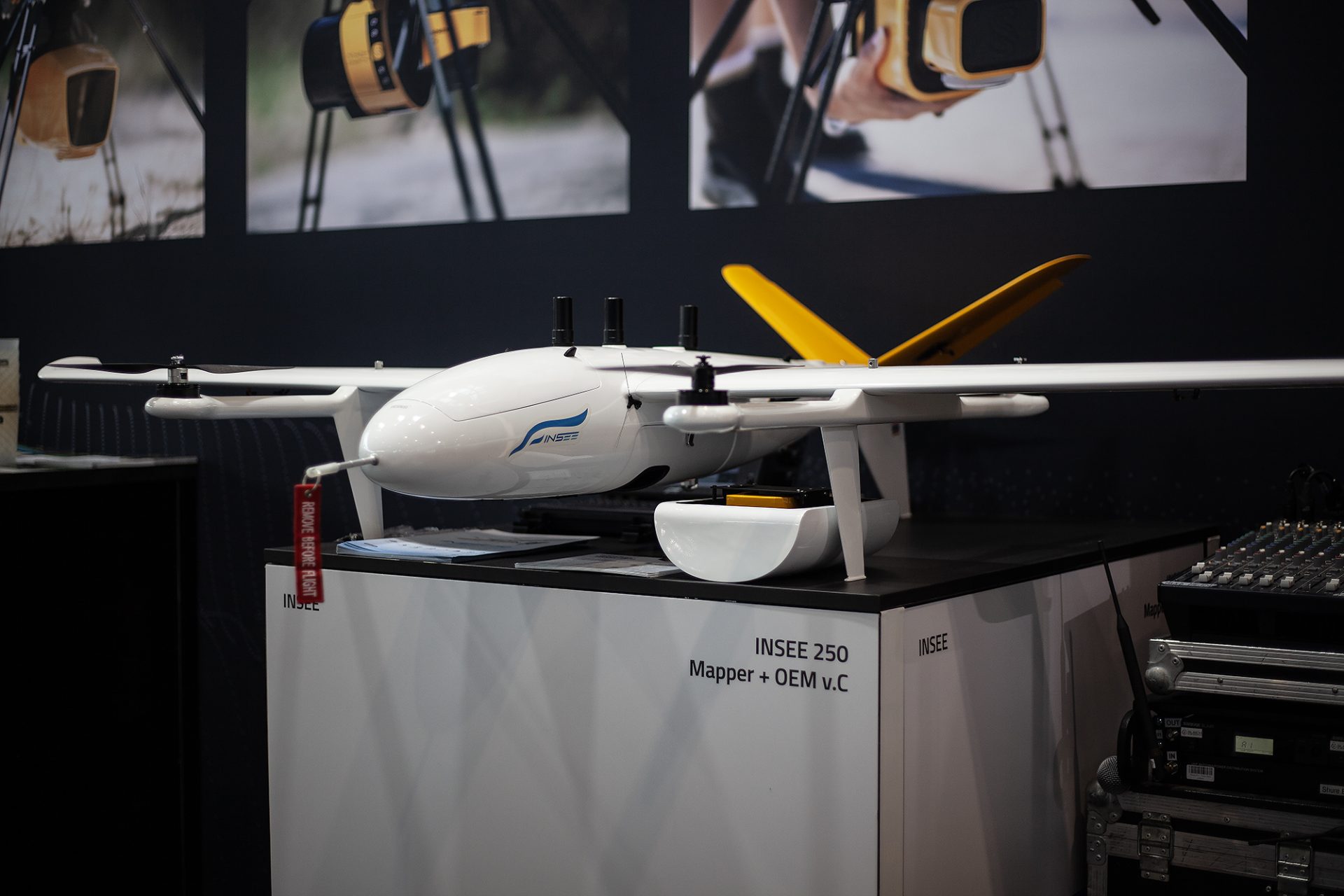
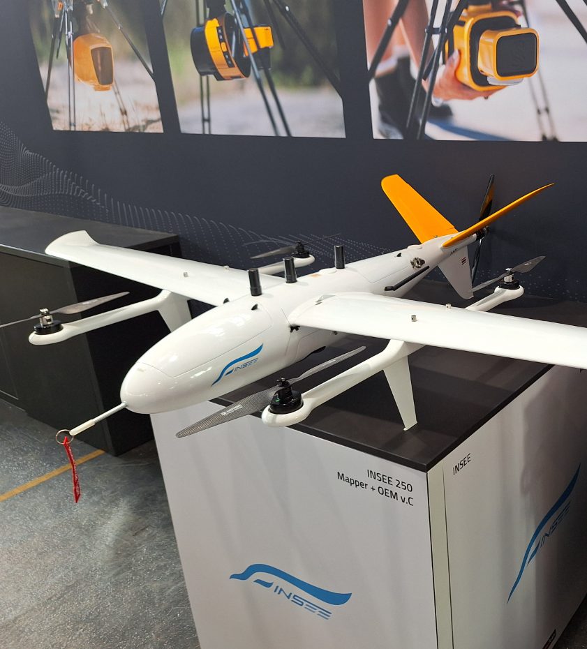
- INSEEINSEE 250
- Delair DT46
- CensysSentaero 5
- C-AstralSQA eVTOL
- JOUAVCW-25E
- CarbonixVolanti
- Abris DGCetus
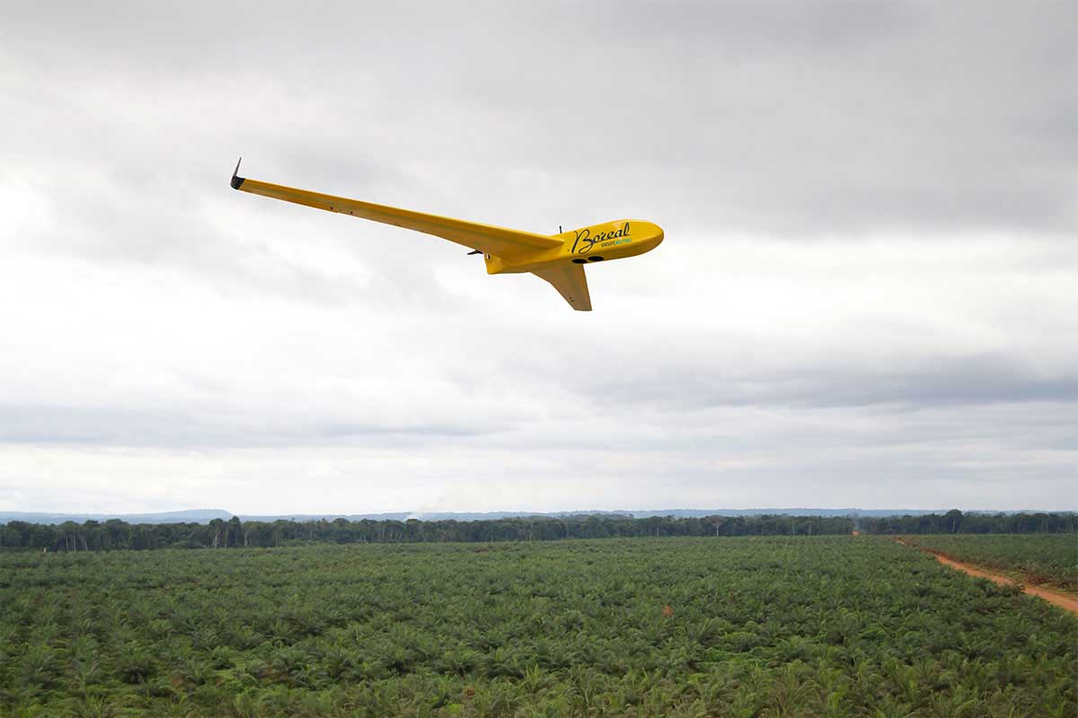
- Boreal AJSBoreal
- Censys TechnologiesSantaero
- DelairDT26X
- DeltaquadEvo
- ElevonXSierra VTOL
- FIXAR007
- GermandronesSongbird VTOL
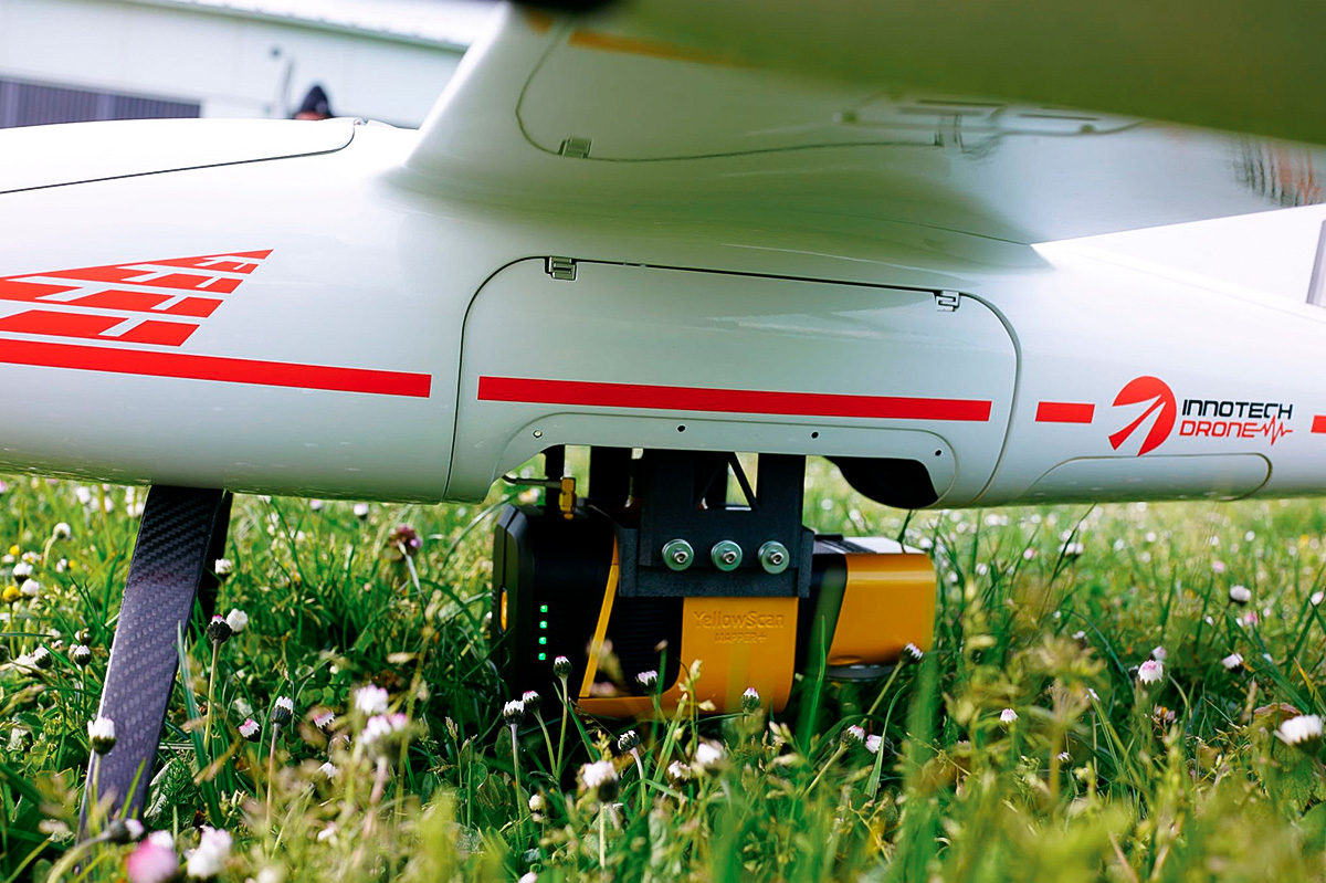
- InnotechSkycross-3400
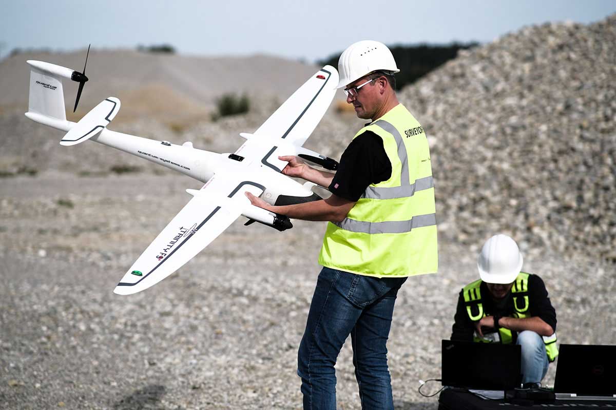
- Quantum SystemsTrinity VTOL
- StriekAirCarryAir VTOL
- Wingcopter178 Heavy Lift VTOL
- Aéronefs pilotés
- SchweizerSchweizer 300C
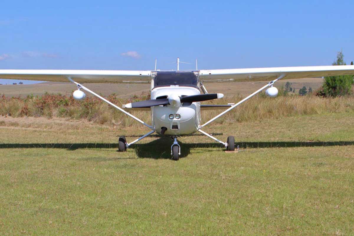
- CessnaAircraft C172
- Compatible with any light aircraft using a custom mounting bracket.
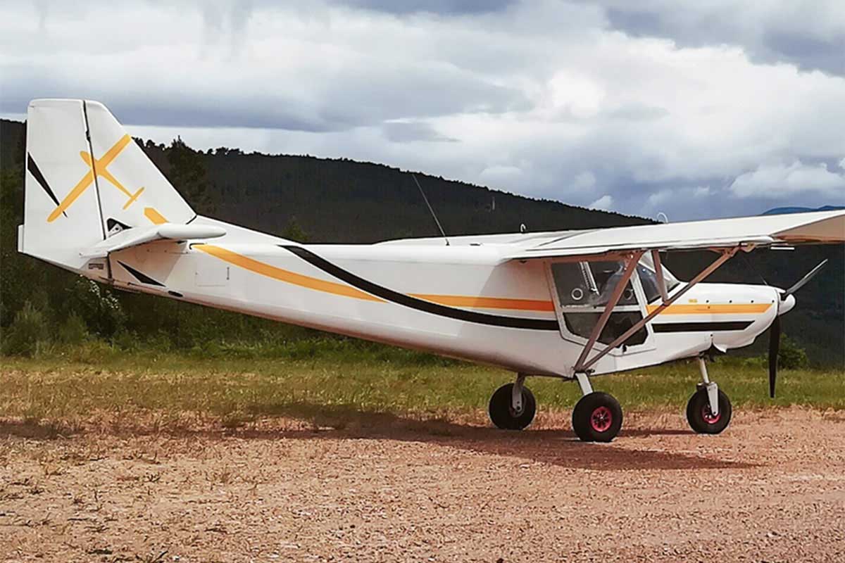
- ICPUltralight Aircraft Savannah S
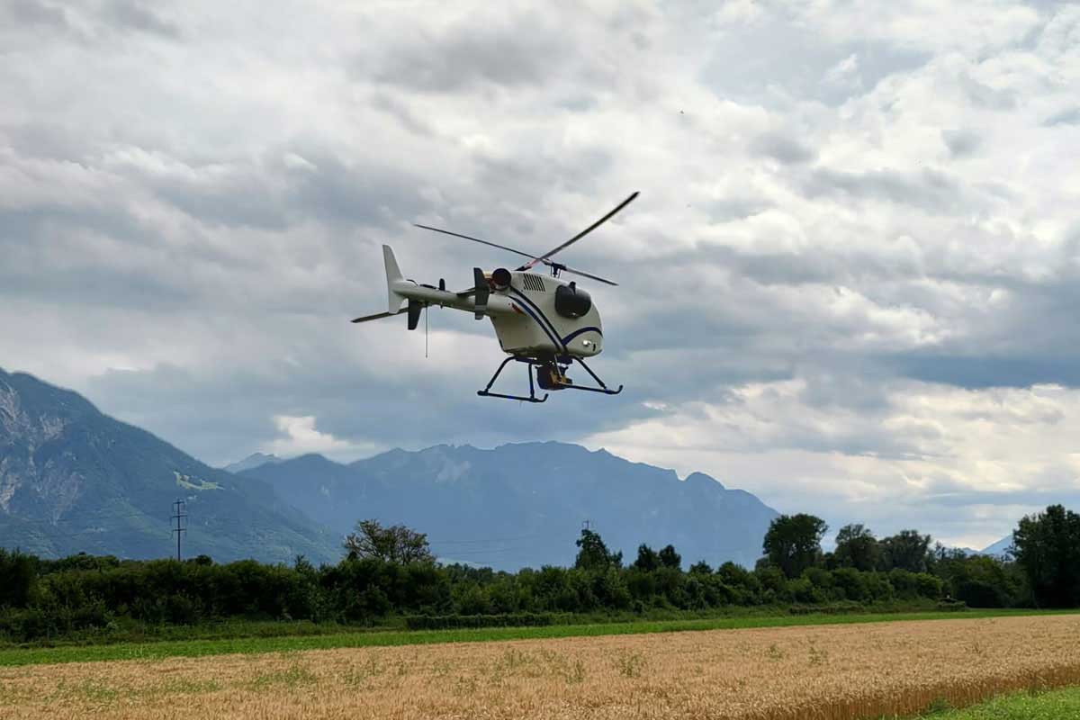
- Drones hélicoptères
- AnaviaHT100
- AeroVironmentVapor 35
- AeroVironmentVapor 55
- Alpha Unmanned SystemsAlpha 800
- Altus IntelligenceORC2
- HelipseHE-190E
- NOVAerialProcyon 800E
- SwissDronesSDO 50 V2
- VelosRotorsVelosV3
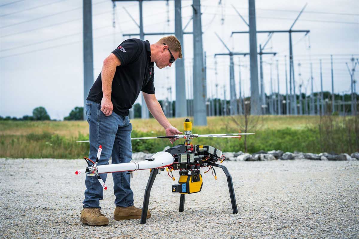
- Véhicules terrestres
- Compatible avec la plupart des véhicules utilisant le pod YellowScan Fly&Drive et les adaptateurs de barre de toit.
Besoin d’aide pour votre projet LiDAR ?
Parlons-en ! Parlons-en ! Notre équipe d’experts peut vous aider à identifier vos besoins et vous proposer les solutions optimales pour réussir votre mission.

Hexadrone Tundra 2
Mapper Ultra


DJI Matrice 400 (M400)
Mapper Ultra


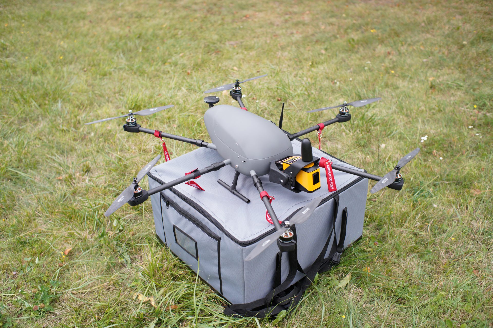
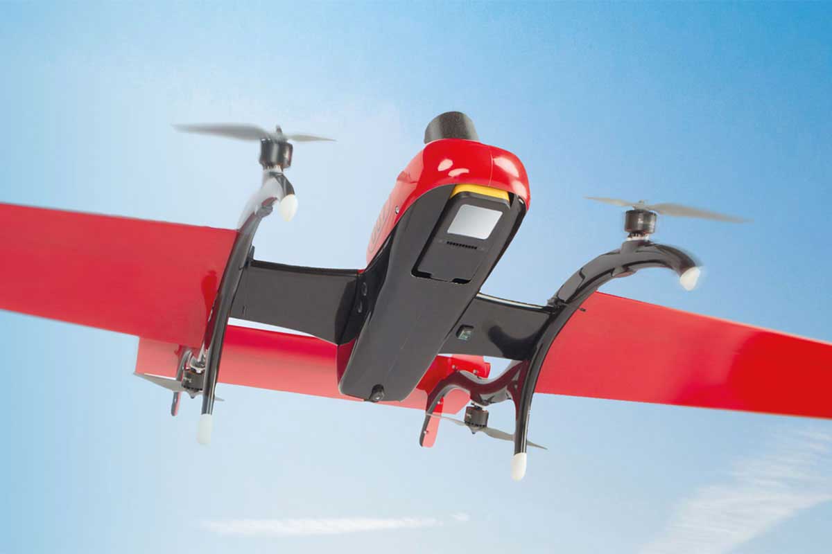
FreeFly Astro
Venturer


DJI Matrice 300 (M300)
Venturer


DJI Matrice 400 (M400)
Explorer


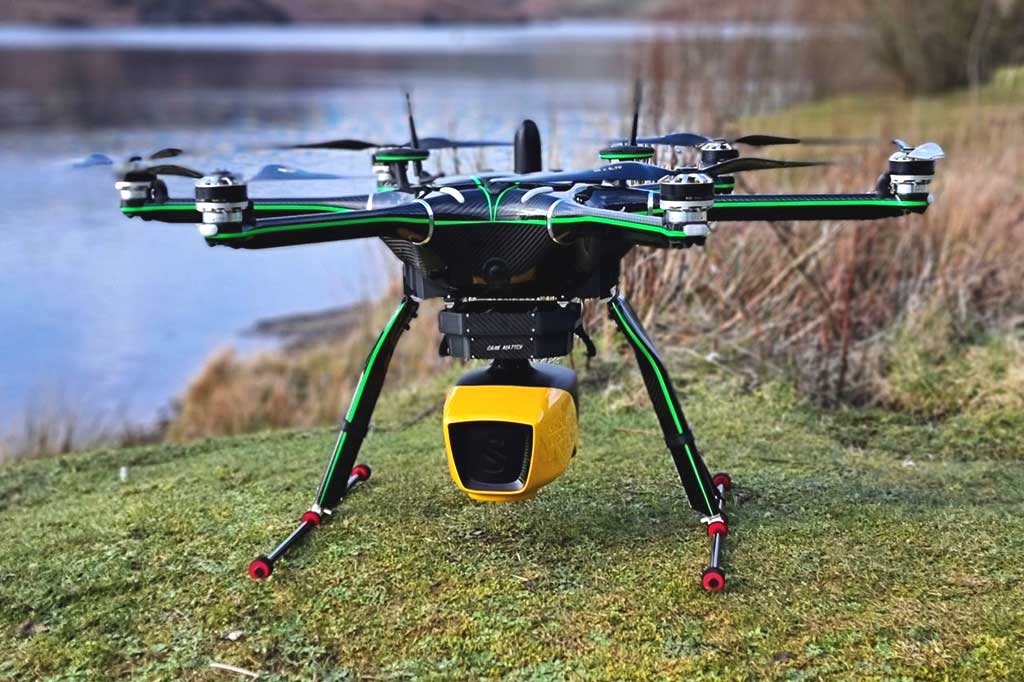
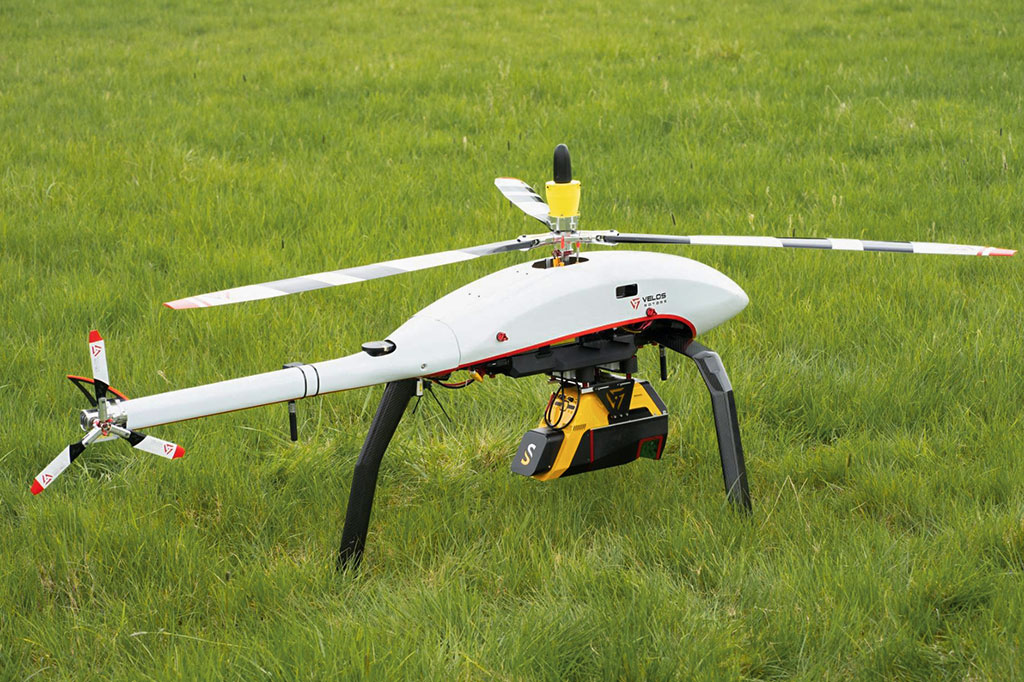
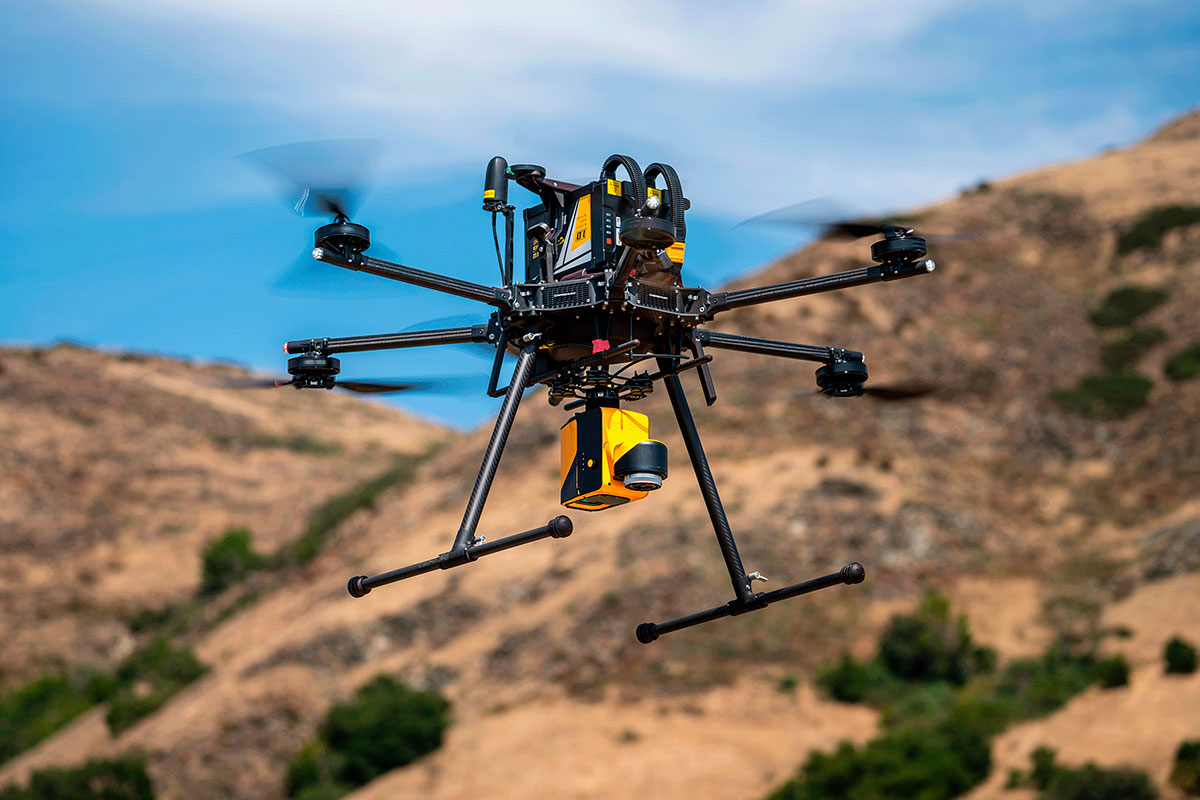
VelosRotors VelosV3
Navigator


DJI Matrice 400 (M400)
Surveyor Ultra


DJI Matrice 400 (M400)
Navigator


Harris Aerial H6 Electric
Navigator

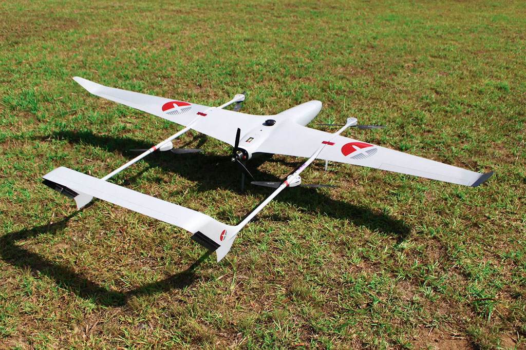
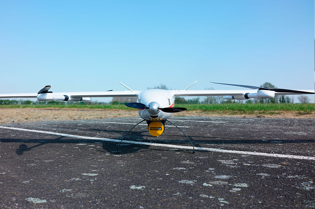
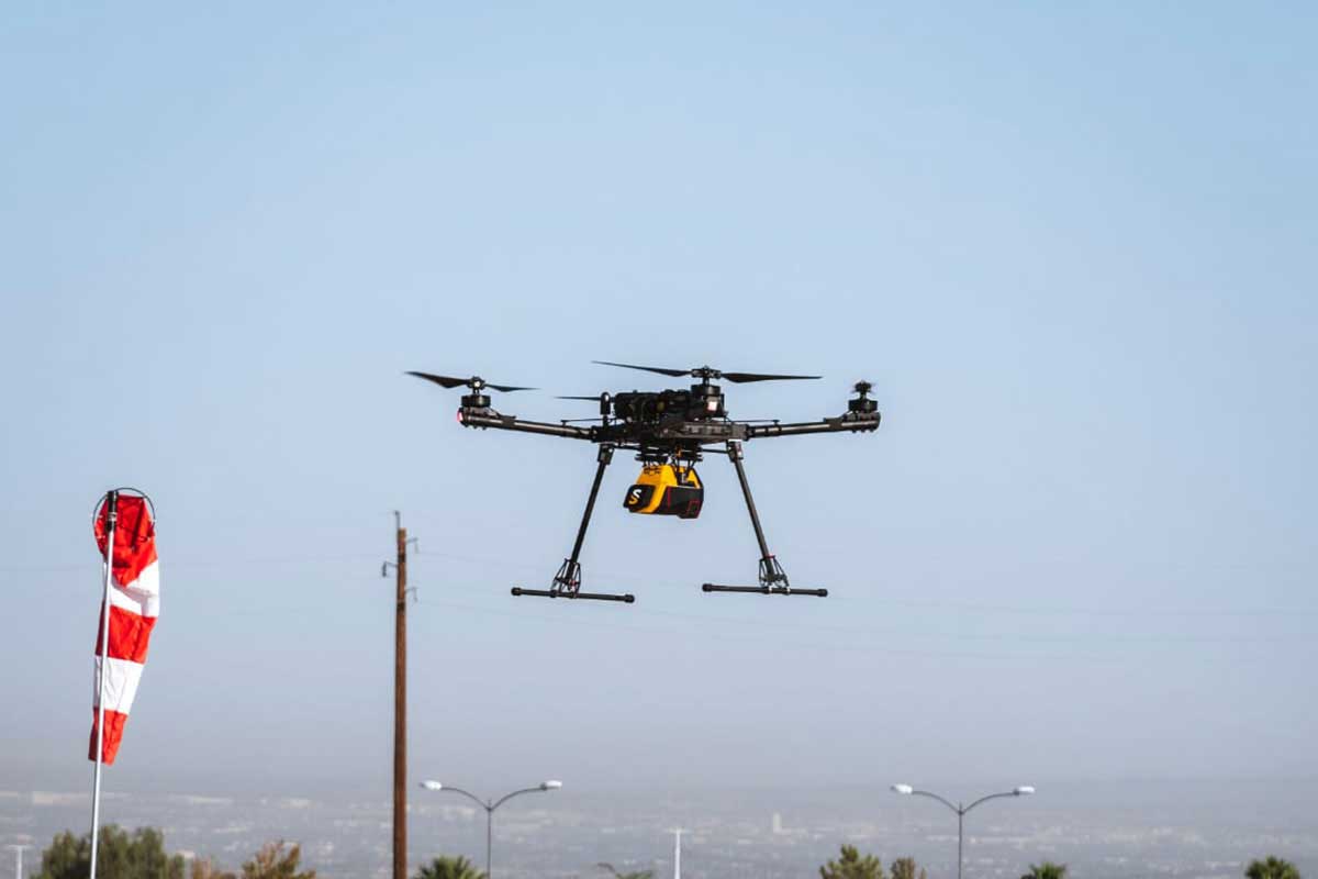
INSEE INSEE 250
Surveyor Ultra


INSEE INSEE 250
Mapper+ OEM

Ventustech VTR Drone Hornet
Mapper+ OEM


WISPR SkyScout
Mapper+ OEM


Nokia 5G drone
Surveyor Ultra


Abris Aero Beetle UAV
Mapper+ OEM


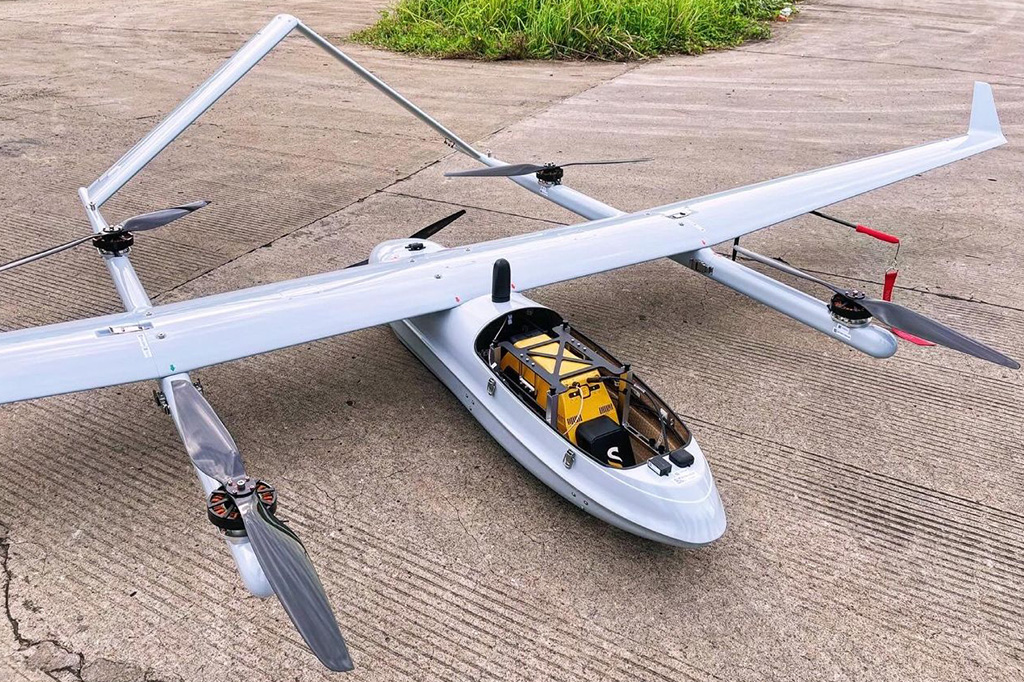
Delair DT46
Voyager


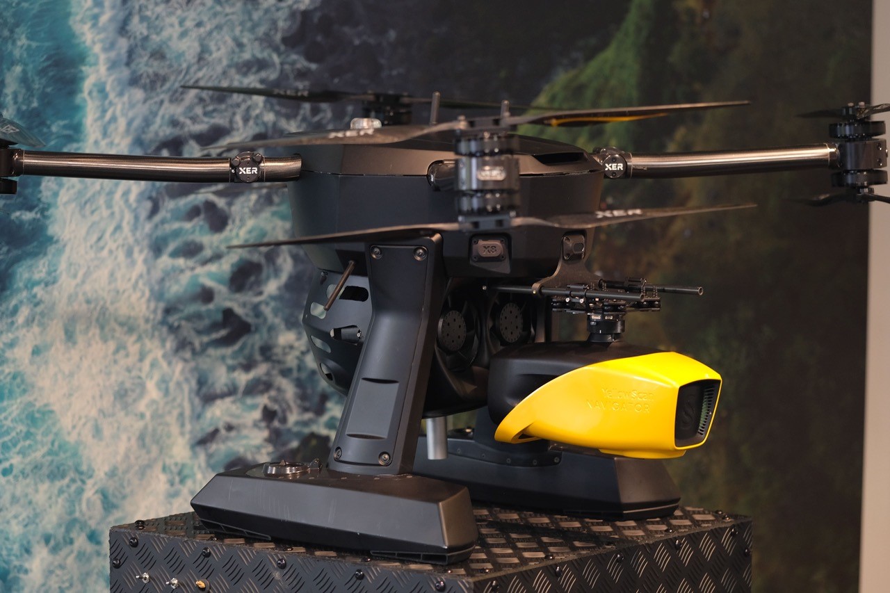
XER Technologies X8 Hybrid-Electric
Navigator


Freefly Systems Alta X
Navigator

C-Astral SQA eVTOL
Drones compatibles

SkyCutter Gryphon
Navigator

Clogworks DMhX Gen 2
Navigator

JOUAV CW-25E
Voyager

Acecore Noa
Navigator

Hexadrone Tundra
Navigator

Deltaquad Evo
Mapper+ OEM

Censys Sentaero 5
Mapper+ OEM

VelosRotors VelosV3
Voyager

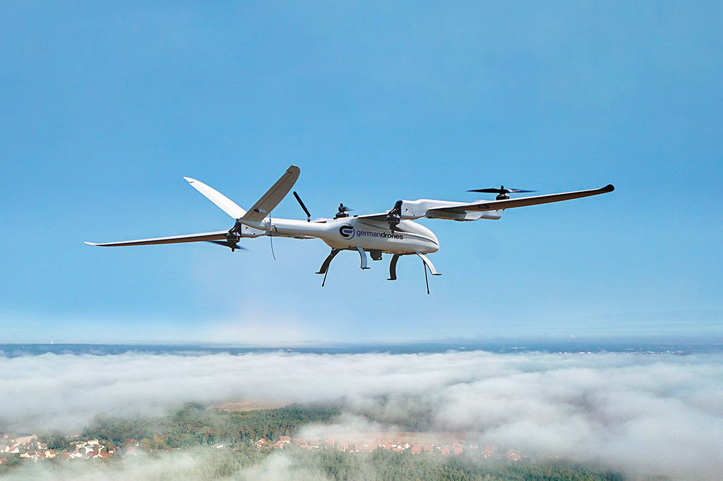
Germandrones Songbird VTOL
Mapper+ OEM

Carbonix Volanti
Mapper+ OEM

Arcsky X55
Voyager

Arcsky X55 Hybrid
Voyager

Inspired Flight IF1200A
Mapper+


Inspired Flight IF1200A
Mapper


Abris DG Cetus
Mapper+ OEM


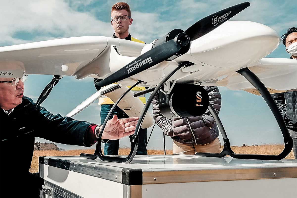
Innotech Skycross-3400
Surveyor Ultra

Innotech Skycross-3400
Mapper+


ElevonX Sierra VTOL
Mapper+ OEM

Deltaquad Evo
Mapper+ OEM


Cessna C172
Voyager


Skyfront Perimeter 8 multi-rotor
Explorer


Skyfront Perimeter 8 multi-rotor
Explorer


Hexadrone Tundra
Voyager


Hexadrone Tundra
Voyager


Hexadrone Tundra
Mapper


DJI Matrice 300 (M300)
Surveyor Ultra


DJI Matrice 300 (M300)
Surveyor Ultra


DJI Matrice 300 (M300)
Mapper


DJI Matrice 300 (M300)
Mapper+


DJI Matrice 300 (M300)
Mapper


DJI Matrice 300 (M300)
Mapper


DJI Matrice 300 (M300)
Mapper


DJI Matrice 300 (M300)
Explorer


Clogworks DMqD Gen 2
Mapper


Acecore Zoe
Surveyor Ultra


Acecore Zoe
Mapper


Acecore Zoe
Mapper


Acecore Noa
Voyager


Schweizer 300C / Hugues 300
Explorer


Van
Fly & Drive


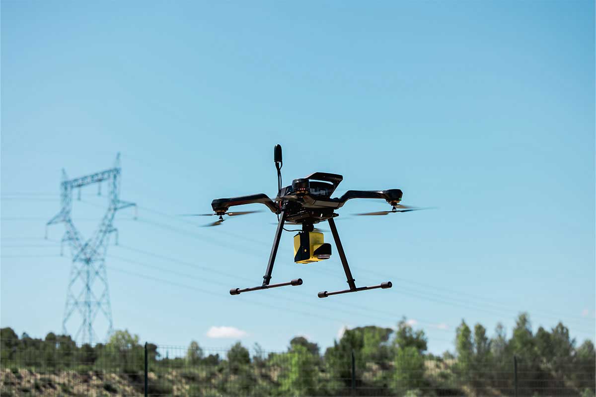
VelosRotors VelosV3
Explorer


Anavia HT100
Explorer


StriekAir CarryAir VTOL
Explorer


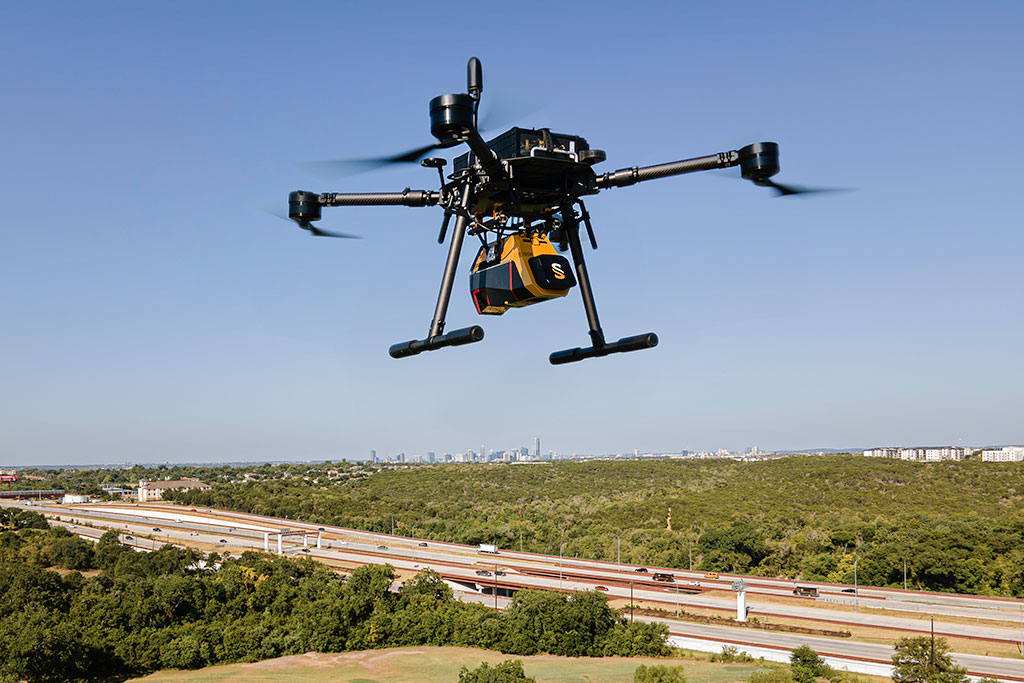
DJI Matrice 600 (M600)
Mapper


Acecore Zoe
Mapper


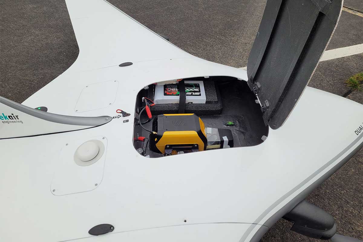
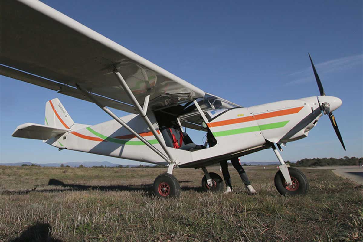
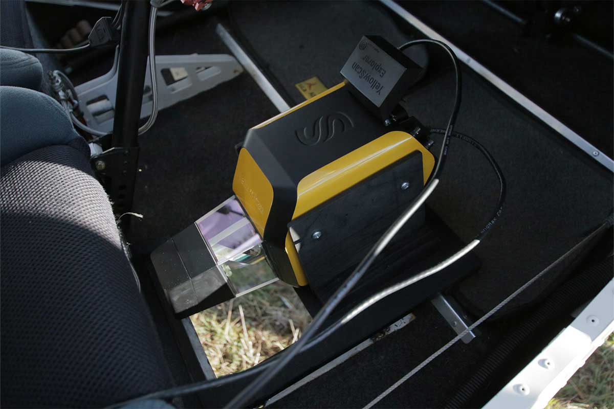
ICP Savannah S
Explorer


ICP Savannah S
Explorer


ICP Savannah S
Explorer


VelosRotors VelosV3
Explorer


VelosRotors VelosV3
Explorer


SwissDrones SDO 50 V2
Explorer


Quantum Systems Trinity VTOL
Mapper+ OEM


FIXAR 007
Mapper+ OEM


Freefly Systems Alta X
Voyager


Freefly Systems Alta X
Voyager


Germandrones Songbird VTOL
Surveyor Ultra


Boreal AJS Boreal
Surveyor Ultra


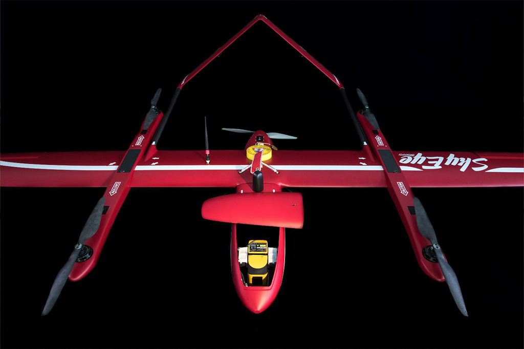
Wingcopter 178 Heavy Lift VTOL
Surveyor Ultra