Datasets
Discover sample data and data acquisition for the specific LiDAR system you are interested in.


Oct 30, 2024
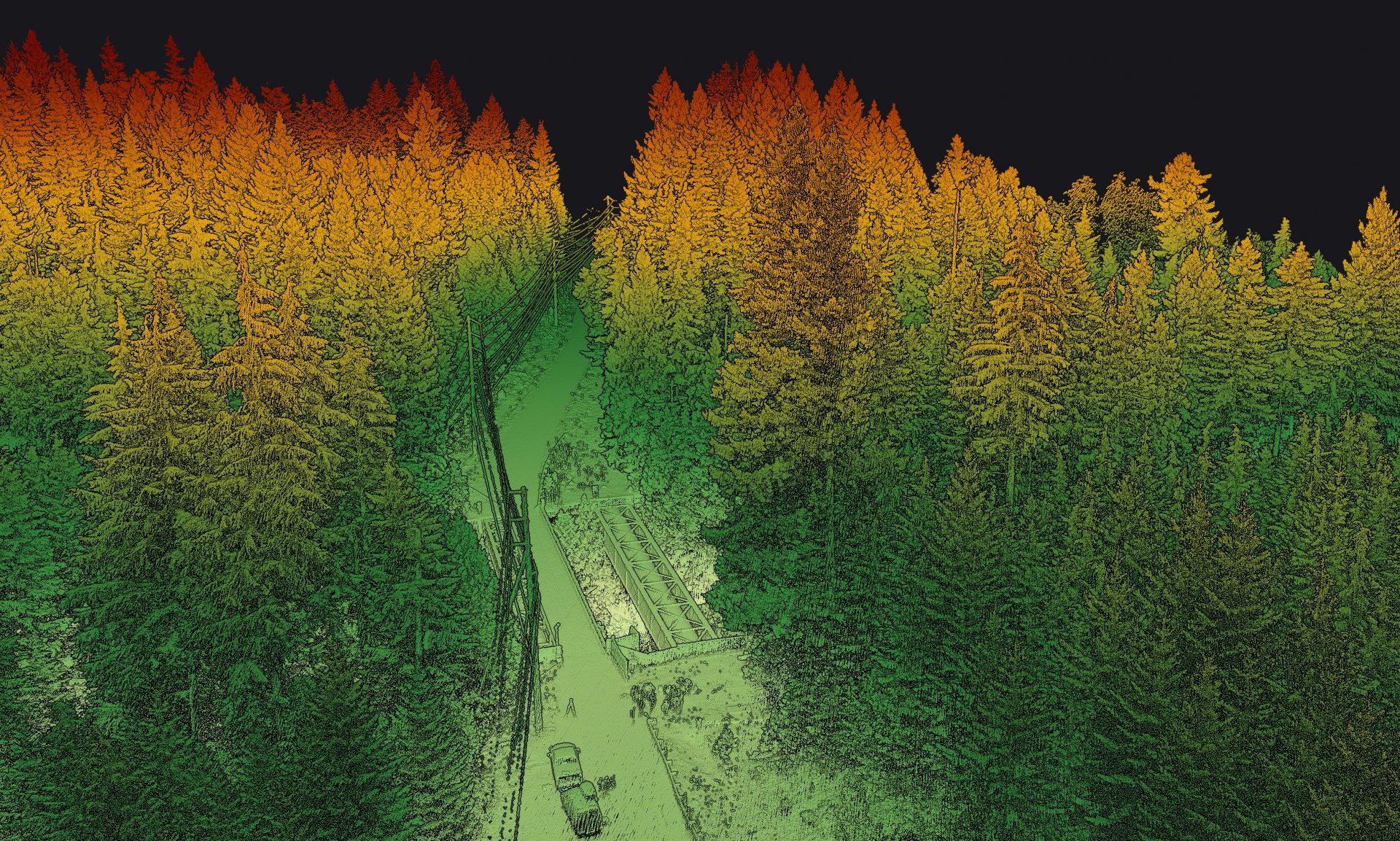
Voyager | USA – Bridge
Drone
USA
10m/s

Sep 30, 2025
Voyager | USA – Pipelines
Drone
USA
10m/s

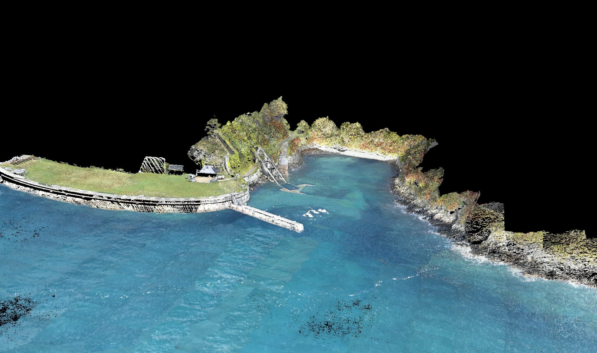
Sep 18, 2025
Navigator | Australia – Bald Islet
Drone
Australia
5m/s

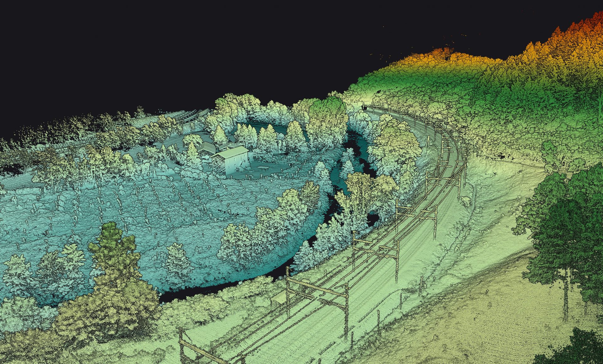
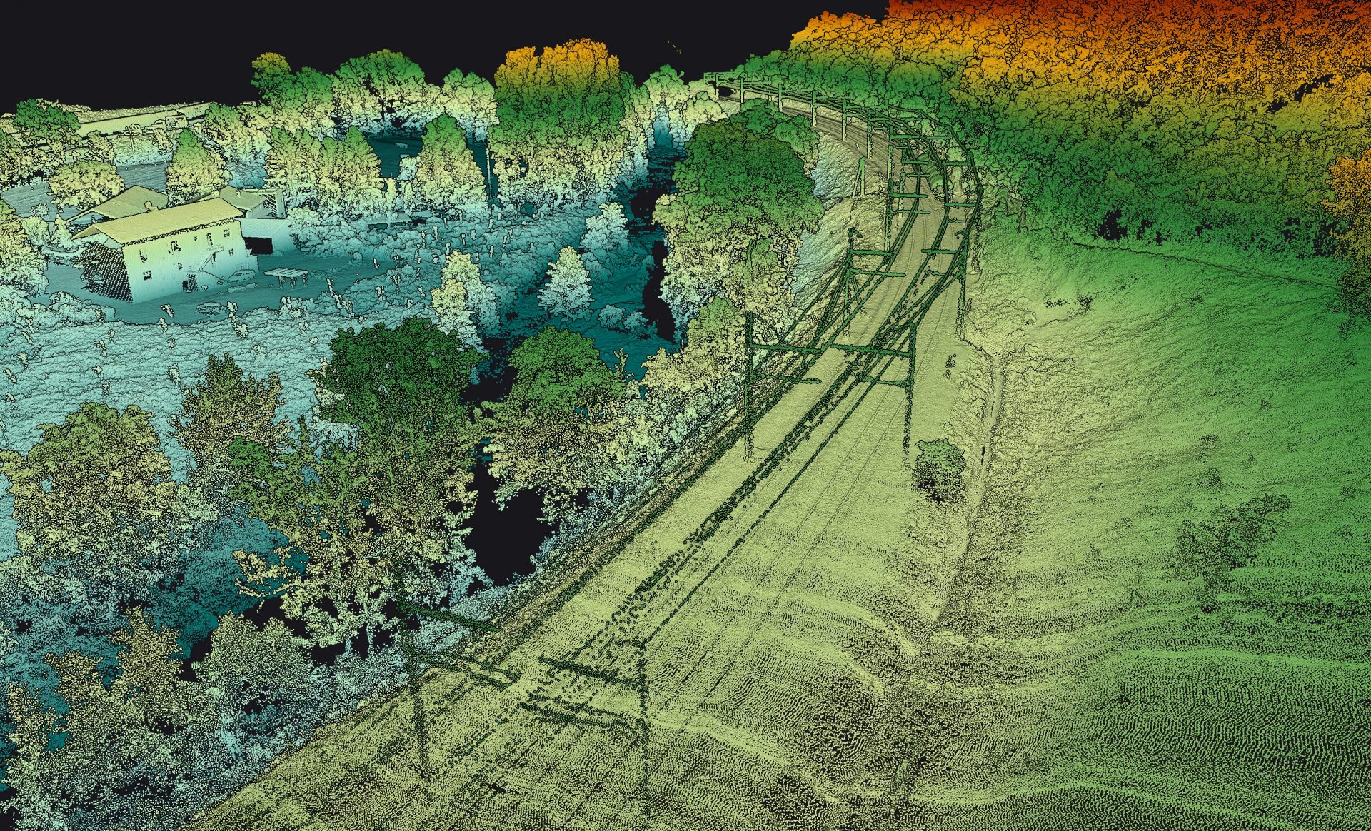
Oct 25, 2024
Surveyor Ultra | France – Railway
Drone
France
5m/s

Dec 16, 2024
Navigator | Atlantic Coast – Fort du Mengant
Drone
France
5m/s

Jan 16, 2025
Navigator | Devil’s Bridge – South of France
Drone
France
5m/s

Oct 16, 2024
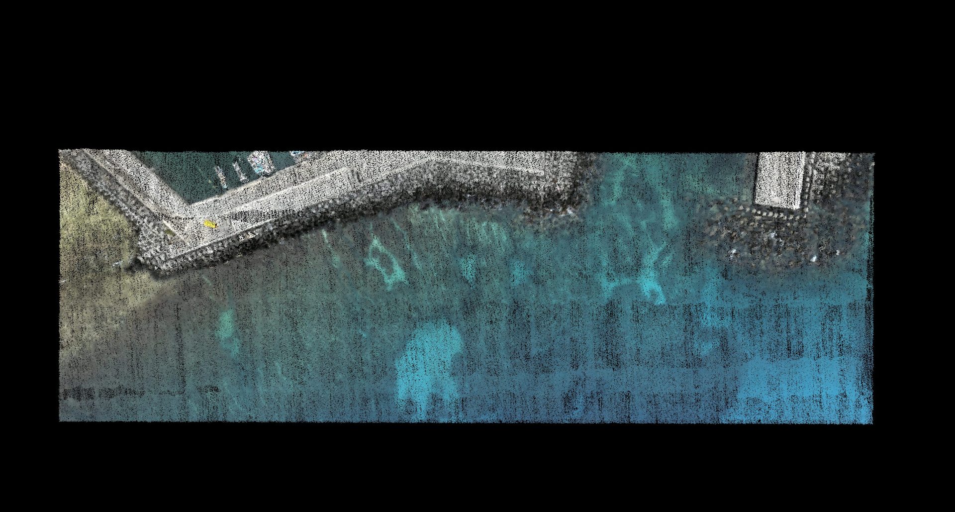
Navigator | Coral reef
Drone
N/A
5m/s

Jan 28, 2025
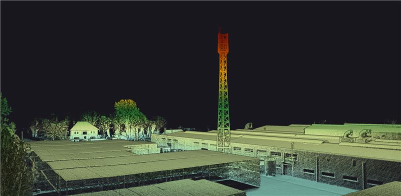
Surveyor Ultra | Belgium – Telecom Tower
Drone
Belgium
5 m/s

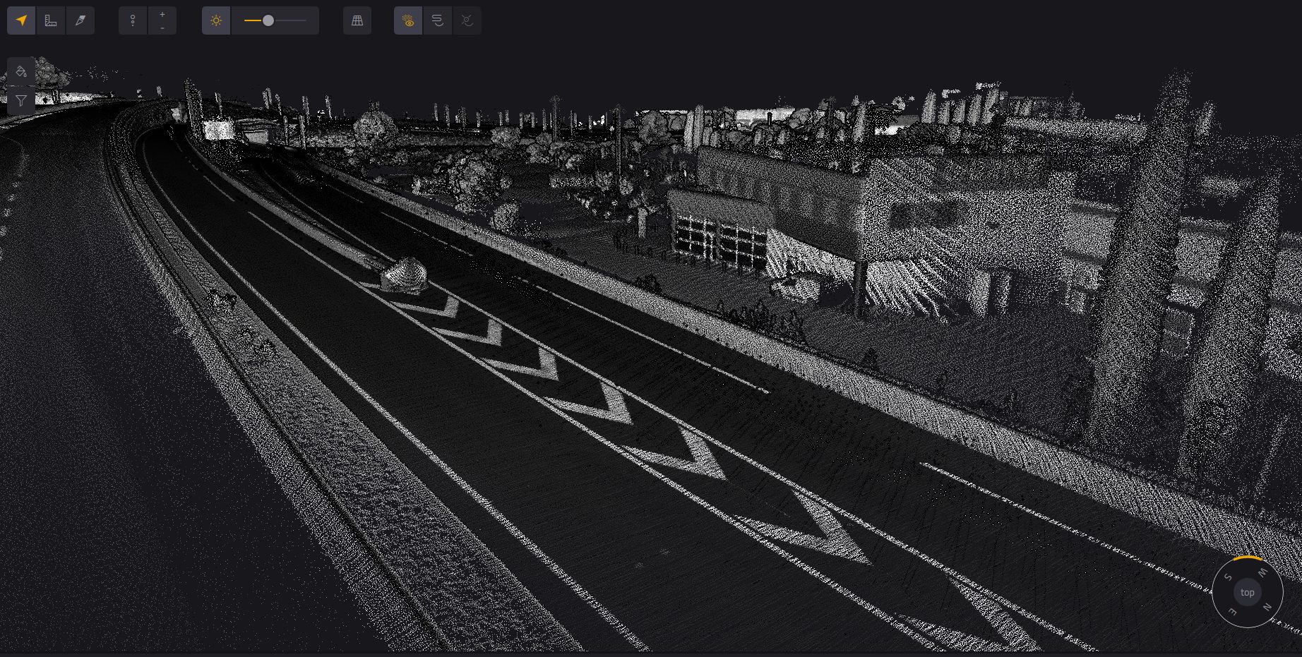
Sep 05, 2024
Fly & Drive + Surveyor Ultra | France – Highway Interchange Roadworks
Vehicle
France
Between 30km/h and 90km/h

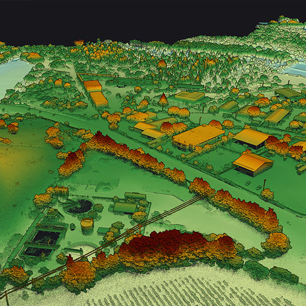
Nov 24, 2022
Voyager | Industrial activity zone
Light Manned Aircraft
France
30m/s

Aug 01, 2024
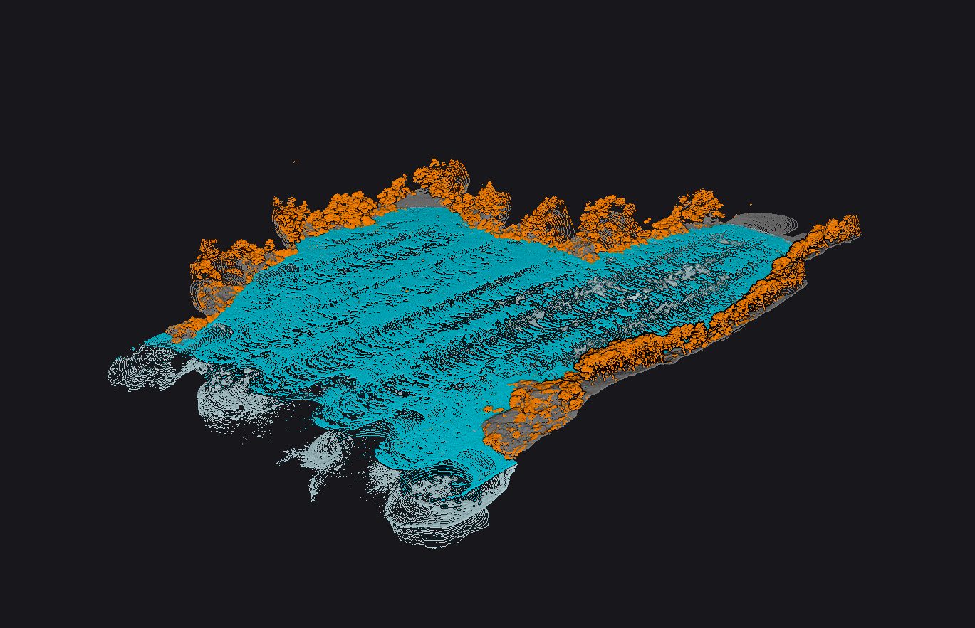
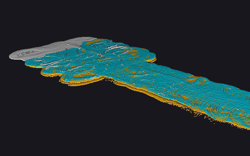
Navigator | France – 17.5m depth (Inlet in Southern France)
Drone
France
5m/s

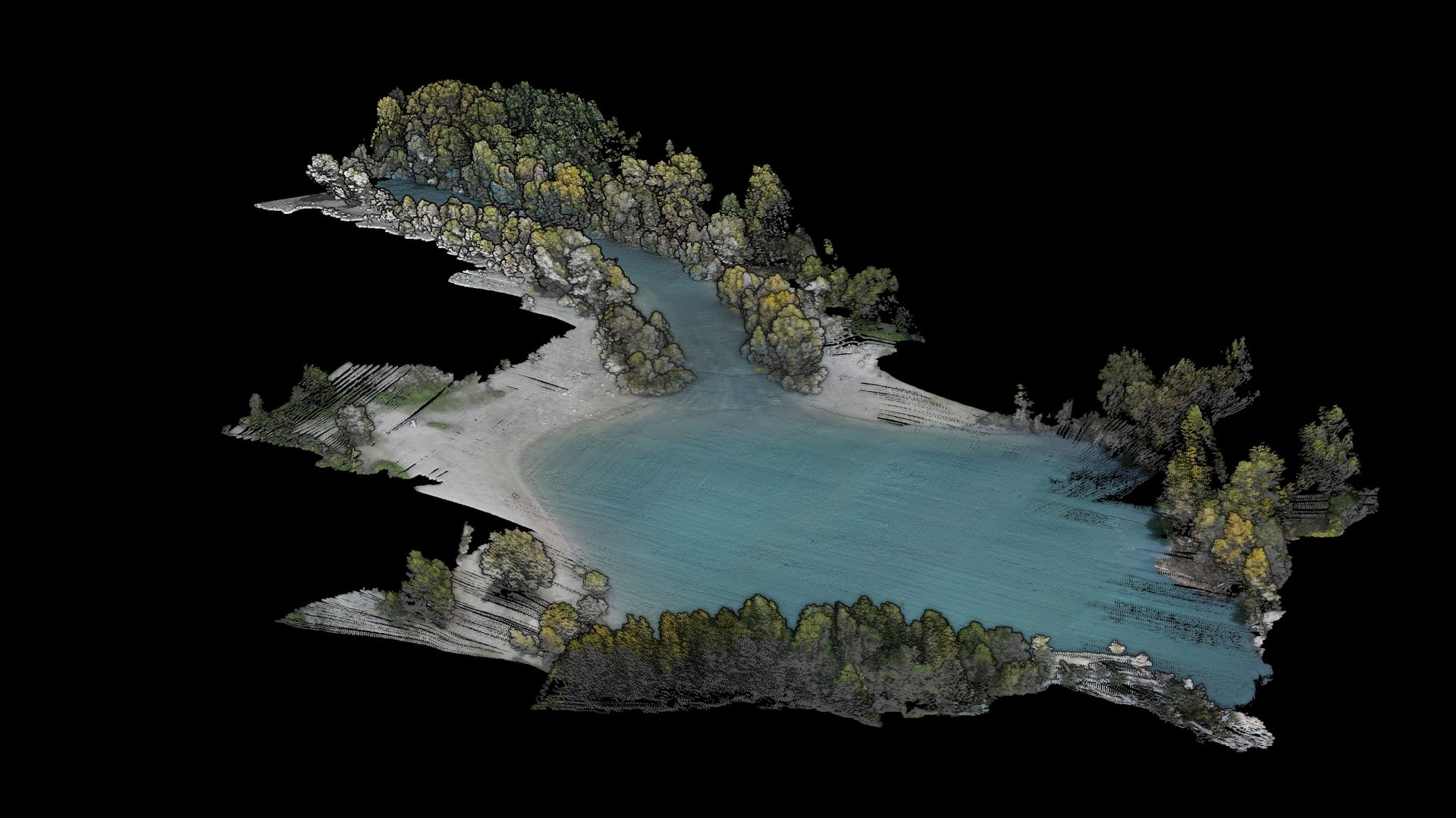
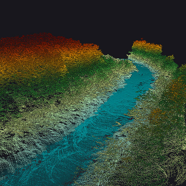
May 22, 2024
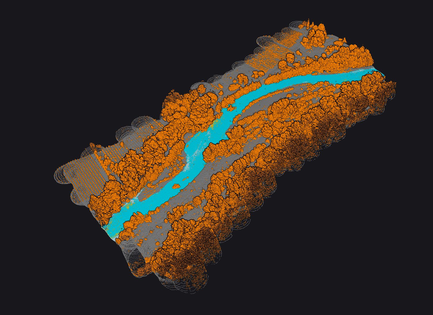
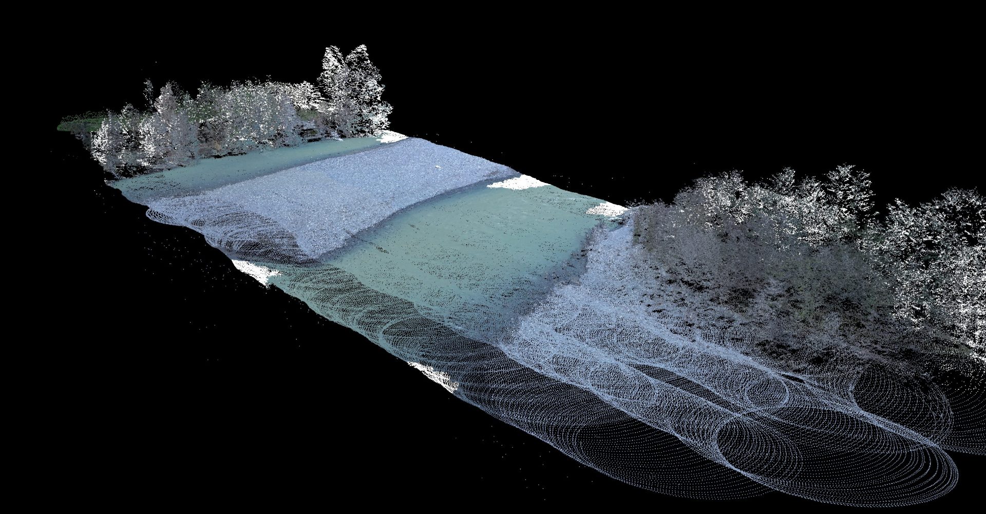
Navigator | France – Orb River
Drone
France
5m/s

May 22, 2024
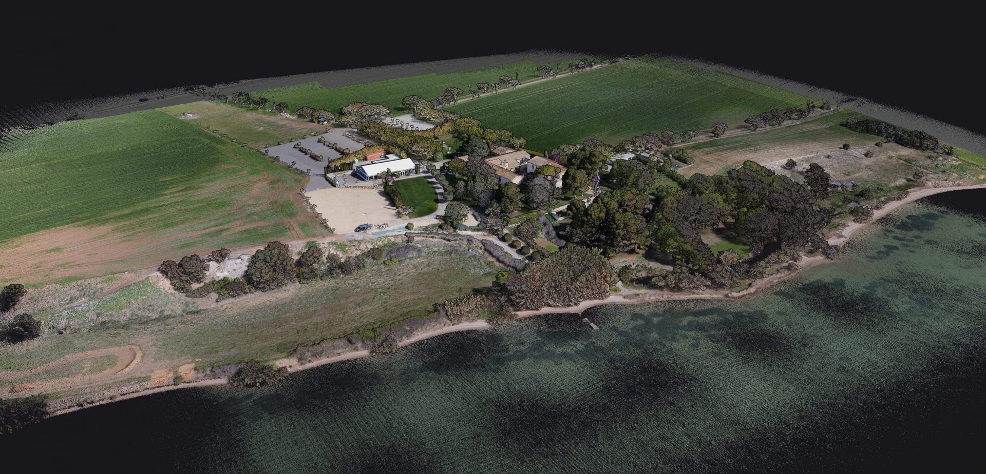
Surveyor Ultra | France – Domaine des Moures
Drone
France
10m/s

Mar 25, 2024
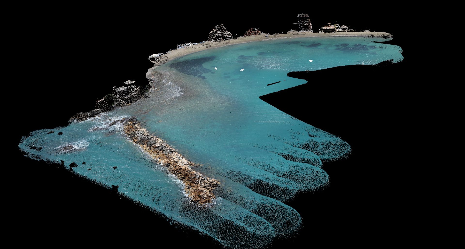
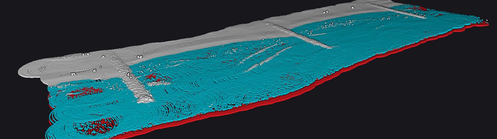
Navigator | Italy – Sestri Levante Bay
Drone
Italy
5m/s

Mar 22, 2024
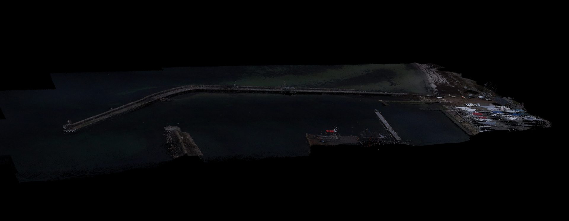
Navigator | Sweden – Barsebackshamn harbour
Drone
Sweden
8m/s

Mar 22, 2024
Navigator | Italy – Magra stream
Drone
Italy
5m/s

Feb 09, 2024
Navigator | Mediterranean sea – Big waves
Drone
France
5m/s

Feb 06, 2024
Navigator | Mediterranean sea – Gentle waves
Drone
France
5m/s

Jan 08, 2024
Navigator | River in southern France
Drone
France
5m/s

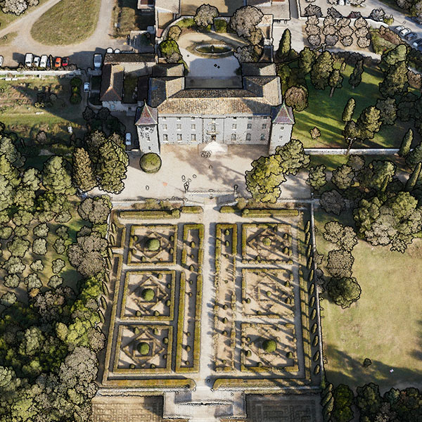
Nov 24, 2022
Vx20-300 | Castle and French gardens
Drone
France
8m/s

Oct 25, 2024
Vx15-300 | France – Railway
Drone
France
5m/s

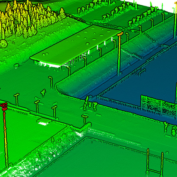
Nov 24, 2022
Vx15-100 | Sport facilities
Drone
France
5m/s

Nov 24, 2022
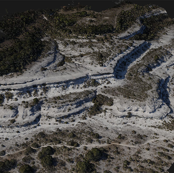
Mapper+ | Natural escarpment
Drone
France
8m/s

Nov 24, 2022
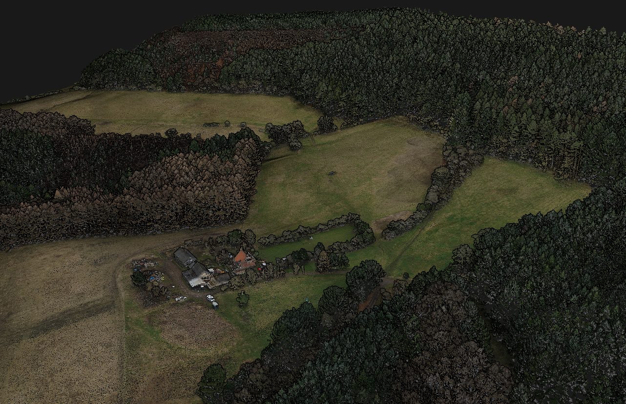
Mapper+ | Forestry – Farm land
Drone
United Kingdom
8m/s

Nov 24, 2022
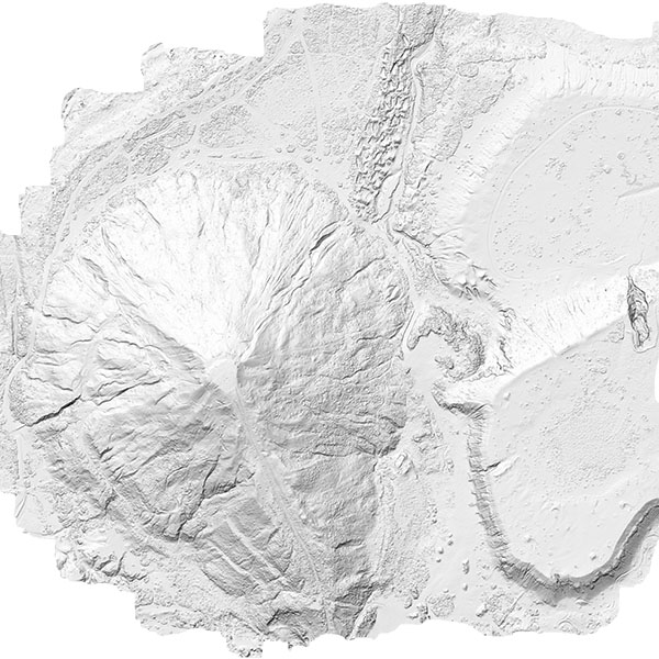
Mapper | Abandonned open pit tin mining
Drone
France
10m/s