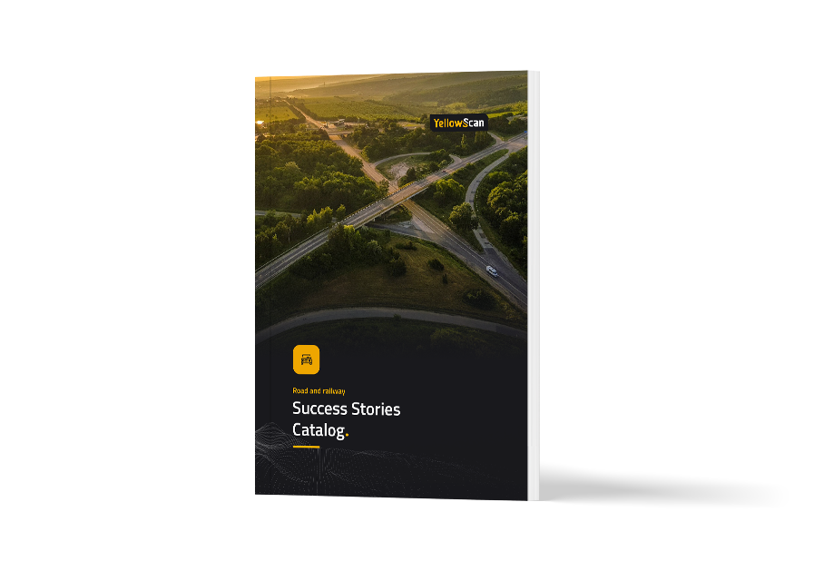
Ys success stories catalog roadrailway mockup.png

SUCCESS STORIES

Want to read about our customers real-world case studies?

Discover why our YellowScan LiDAR solutions are the best tools to help you plan, build, and monitor your next corridor project.

Download catalog

Need help with your LiDAR project?

Let’s talk! Our team of experts can help you clarify your needs and propose the most suitable solutions for you to successfully complete your mission.

Using LiDAR for Road & Railway.

Take transport corridor mapping to the next level.

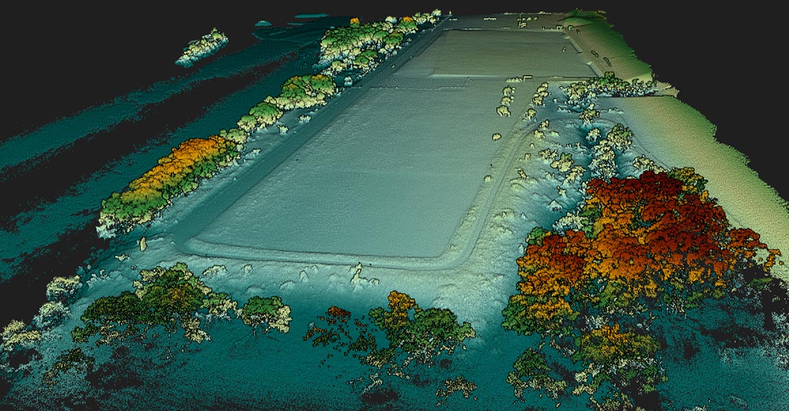
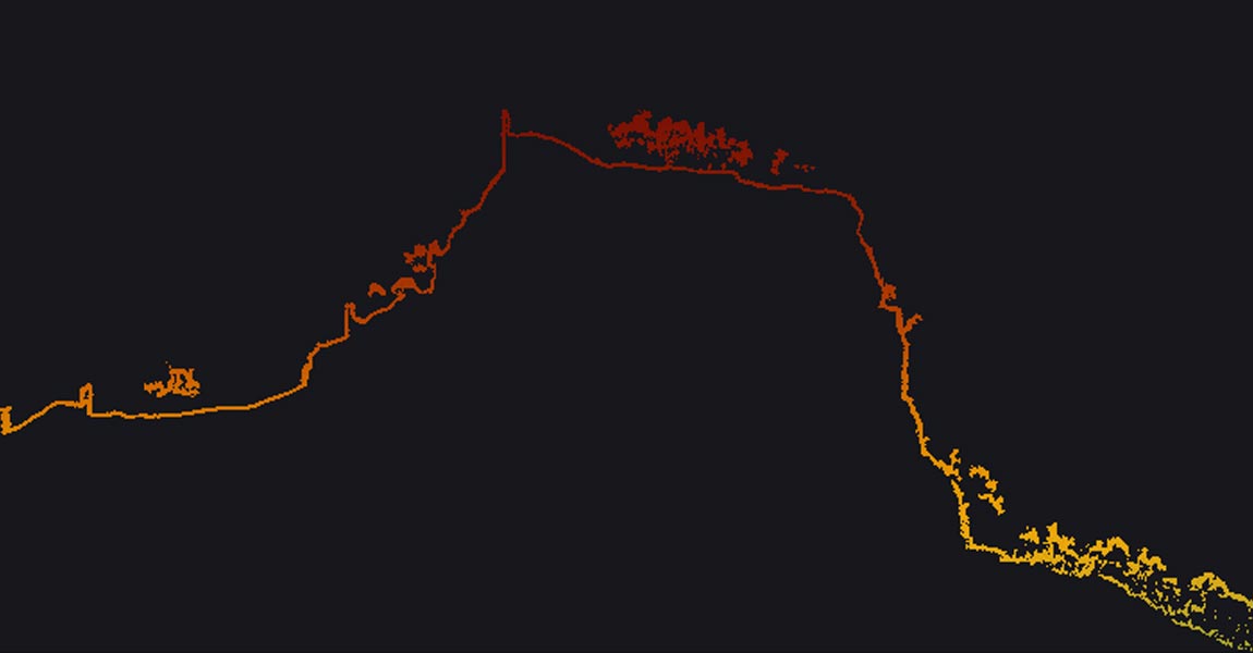
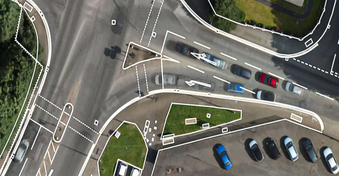
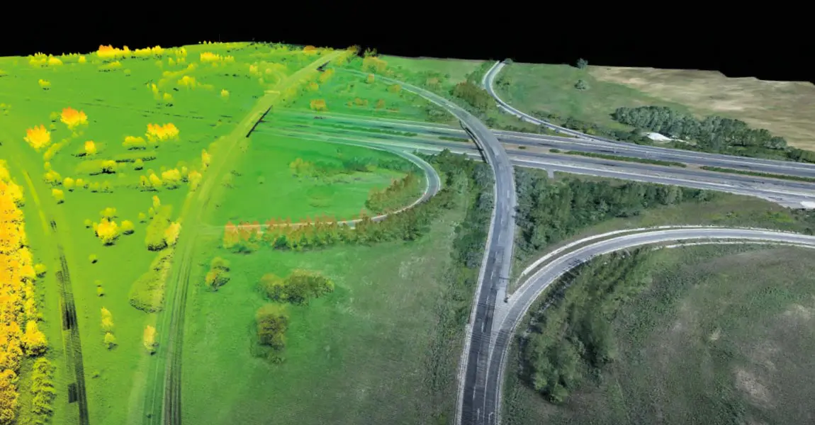
Urban and infrastructure planning requires dense pointclouds to capture every existing feature.

Our LiDAR solutions are the best tools to help you plan, build, and monitor your next corridor project.

Key figures Test

Knowledge base

Discover our solutions by reading about our users’ experience in the field.

View all articles

Knowledge 20240306
Drone Flight Planners: The Continuing Integration of LiDAR & UAVs

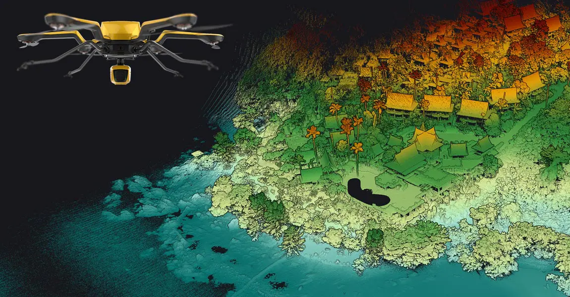
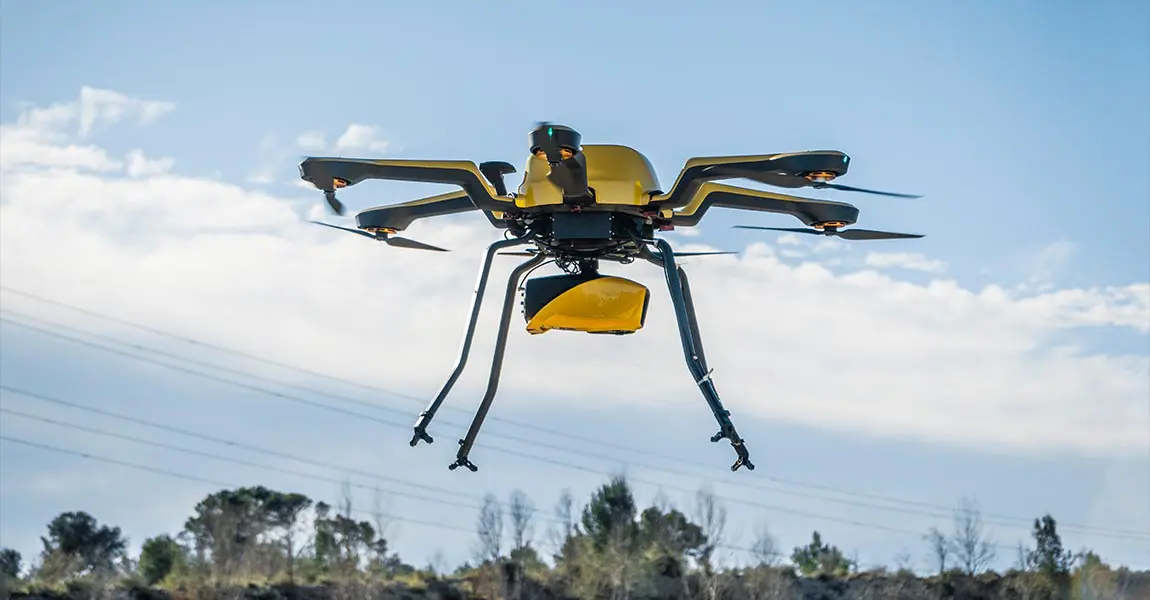
A LiDAR drone is an unmanned aerial vehicle (UAV) equipped with Light Detection and Ranging (LiDAR) sensors. A LiDAR is an active sensor that uses inertial measurement to correlate where it is on the earth’s surface, resulting in a direct measurement of the earth.

Knowledge 20221202
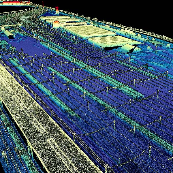
How do drone LiDAR surveys compare to traditional methods in railway corridor mapping projects?

The SNCF wanted to compare UAV LiDAR surveys with those done with traditional methods, in a real work situation. Discover the success story.

Knowledge 20220705
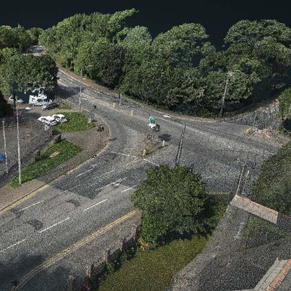
Roadway Inspection: Old Mill Road, Cheshire for Eurovia Infrastructure

FlyThru was mandated by their client, the digital construction team at Eurovia Infrastructure, to survey an area for a roadway project.

Knowledge 20220329
Avalanche Risk Detection: Norwegian Public Roads Administration and Norges teknisk-naturvitenskapelige universitet (NTNU)

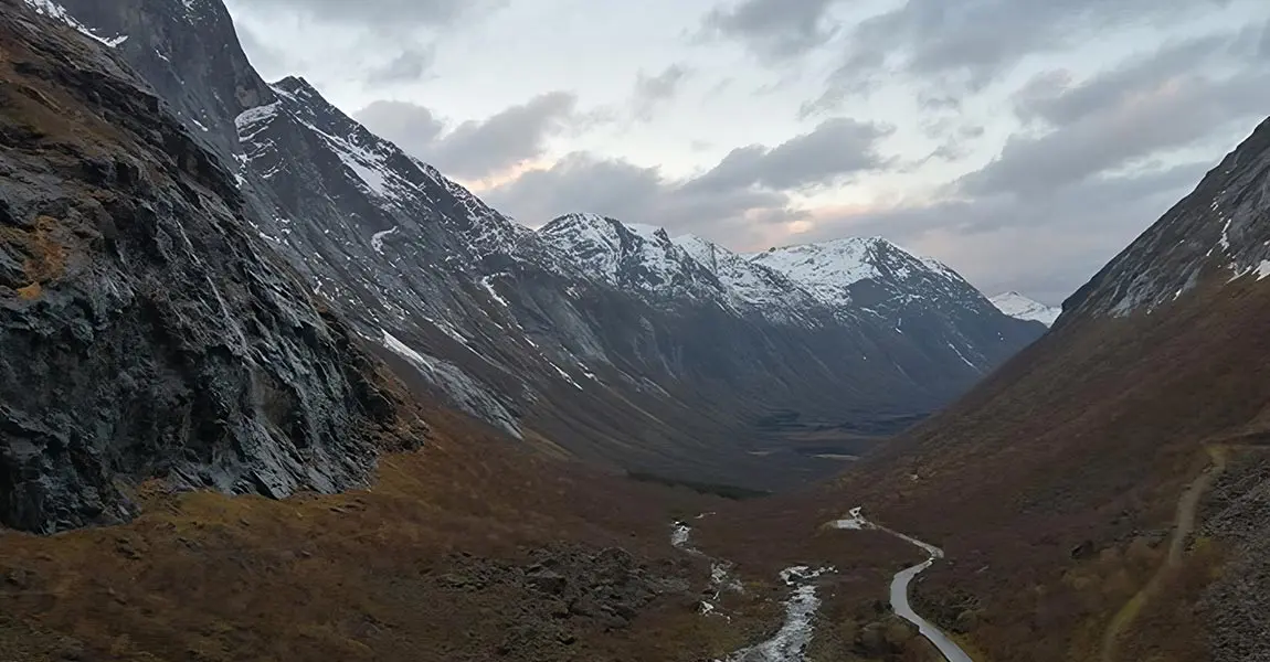
Learn more about a proof-of-concept event to evaluate use of the latest LiDAR and drone technology to help with avalanche risk monitoring.

Knowledge 20201124 2
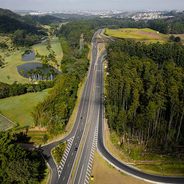
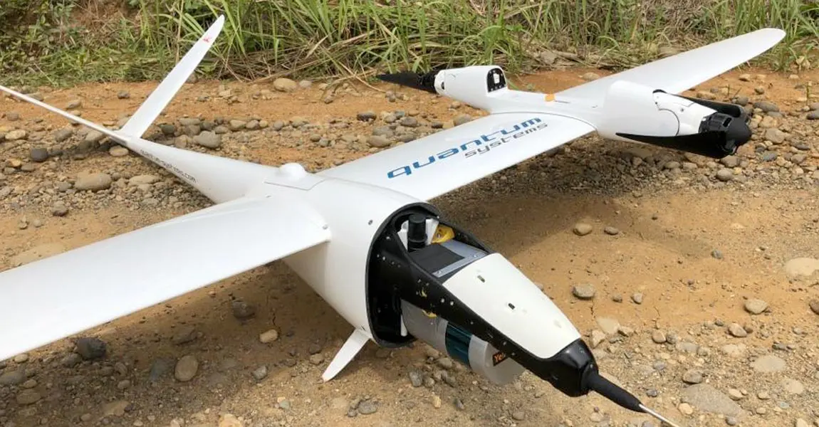
VTOL fixed-wing UAV mounted-LiDAR maps 2200km for Trans-Sumatra highway construction in Indonesia

Hutama Karya, a state-owned company building infrastructures, has been assigned to toll-road construction, on Sumatra island.

Knowledge 20200921
How Diodrone overcame geotechnical engineering challenges in Australia for a 170km long rural road monitoring

Discover how YellowScan solutions helped Diodrone to collect high quality of data covering an area of 400ha of mountainous terrain.

Knowledge video 20190807
Webinar ross-Country-Mapping-for-ZalaZONE-Automotive-Vehicle-Proving-Ground
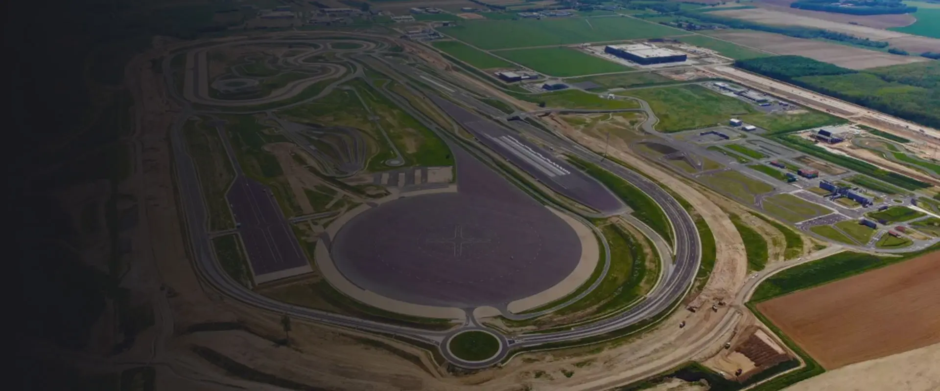
Straight to the Point – LiDAR Application: Cross-Country Mapping for ZalaZONE Autonomous Vehicle Proving Ground
Mar 07, 2024 45 min

Key benefits

Our cost-effective aerial imagery solutions can help you create accurate 3D maps of highways and railway corridor projects quickly, putting no one at risk. Our solutions are ideal for network surveillance, vegetation trimming, and railway lines or road monitoring and planning.

Predictive maintenance

Manage topographic maps prior to construction.
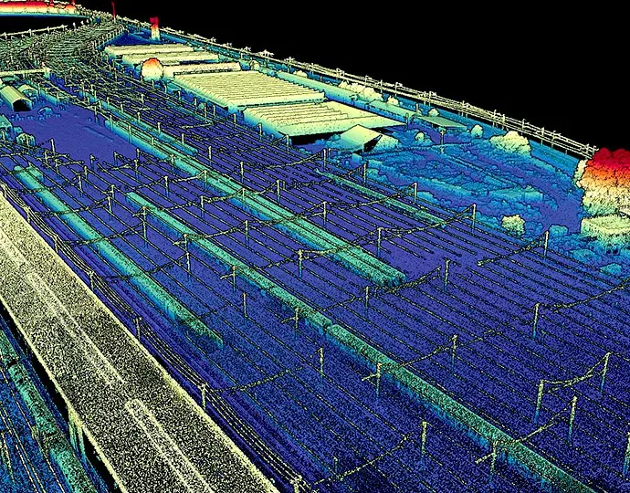
Industries road predictive maintenance

Ensure proper planning and decision making

Enhance maintenance planning and scheduling for equipment and teams.
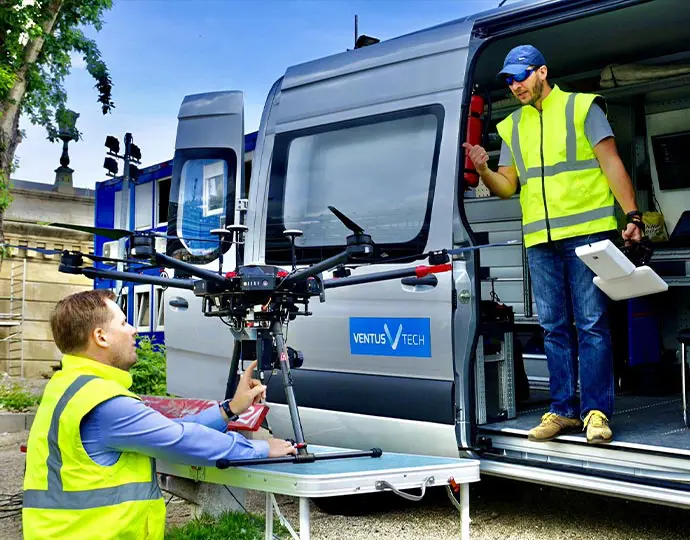
Industries road proper planning

Save time and cost

Get comprehensive, ready to use data in a fraction of the time compared to traditional survey methods.
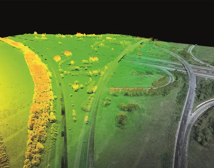
Industries road save time

Reduce human risks and traffic interruptions

Decrease safety issues by keeping roads open and minimizing the impact on traffic.

Industries road reduce humain risks