Need help with your LiDAR project?
Let’s talk! Our team of experts can help you clarify your needs and propose the most suitable solutions for you to successfully complete your mission.
Using LiDAR for Energy & Utilities.
Reduce risks and costs in energy & utilities management.
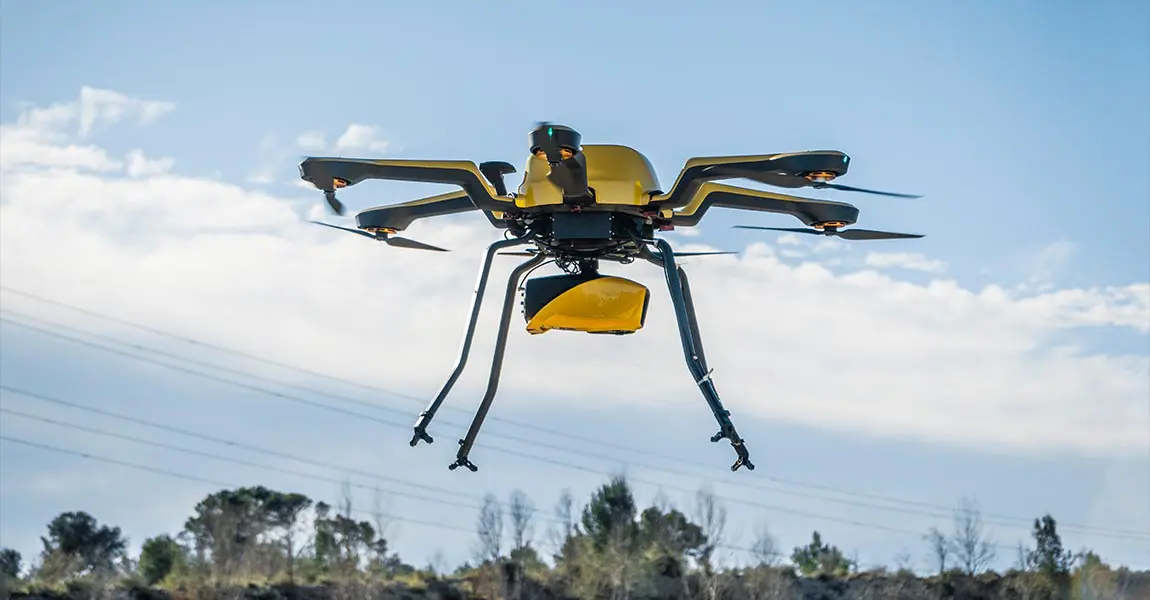
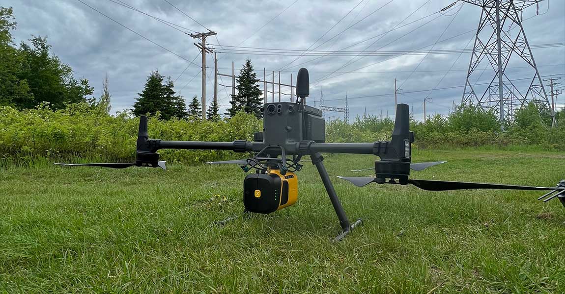
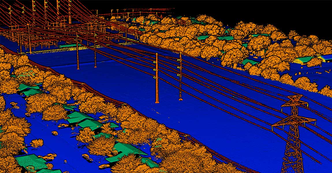
Our LiDAR solutions are the most efficient tools for acquiring highly accurate, dense data in energy and utilities applications.
Energy & Utilities
LiDAR applications
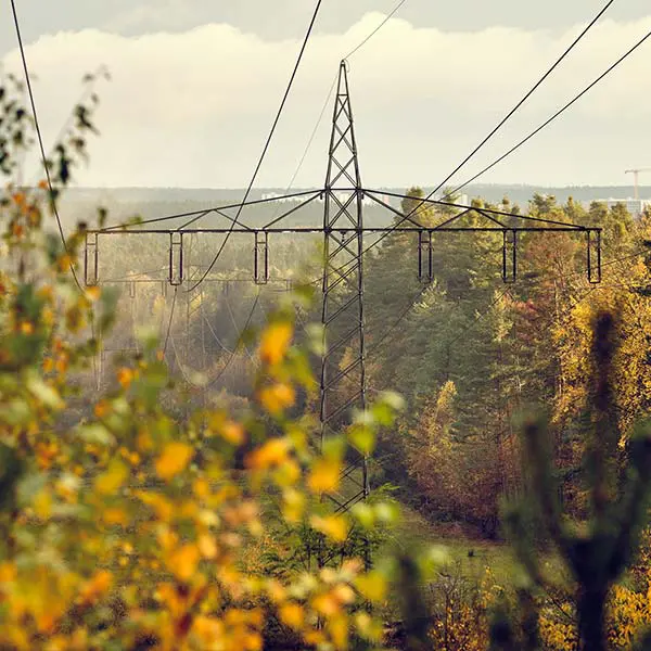
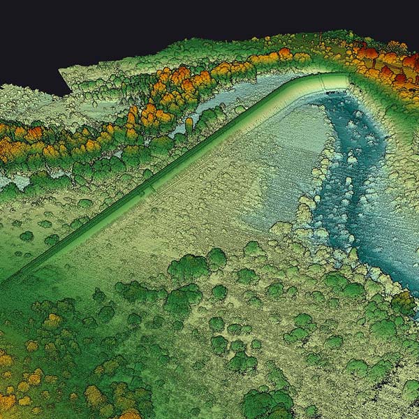
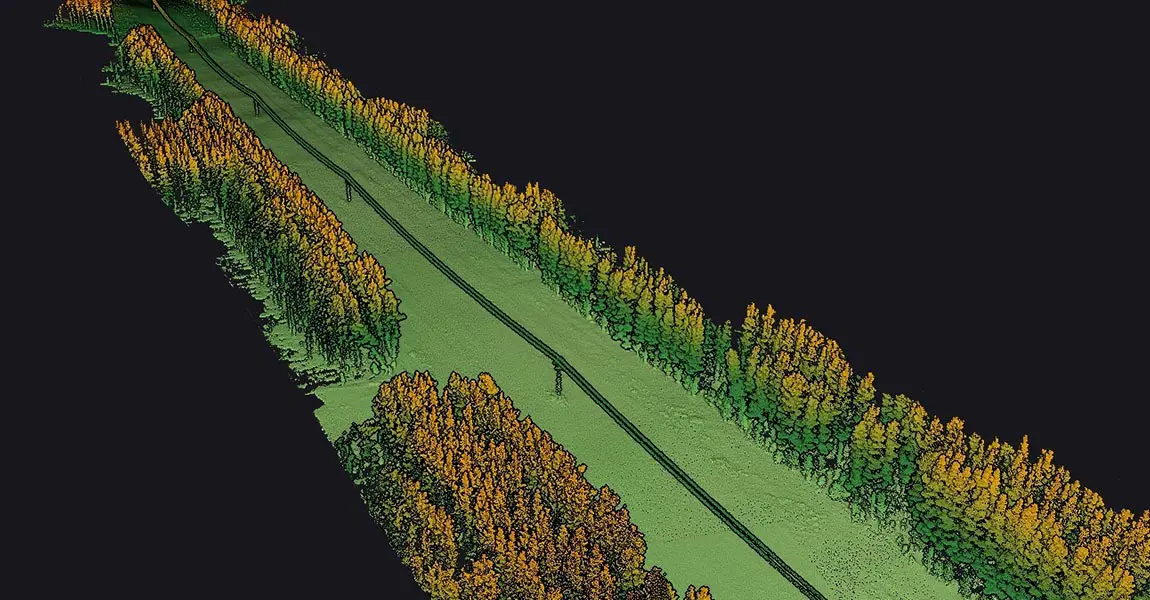
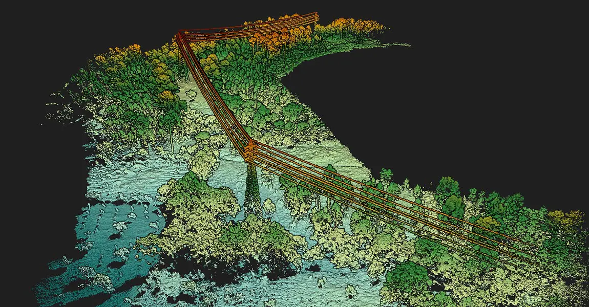
Vegetation encroachment
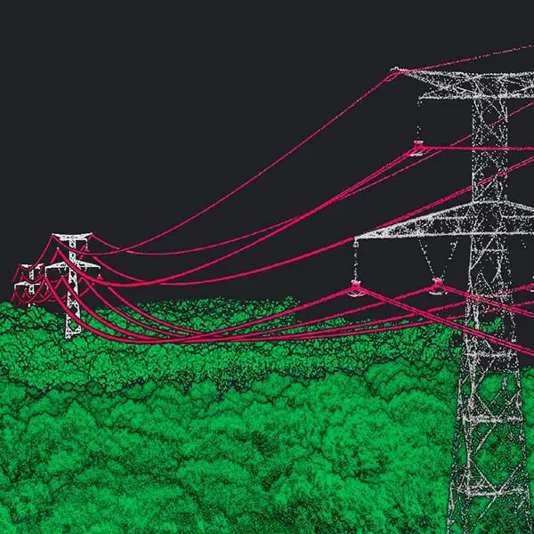
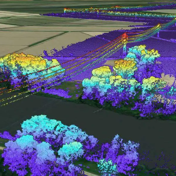
The only technology that gives the true distance to the vegetation in near real-time. Scan fast-growing vegetation sections as often as needed.
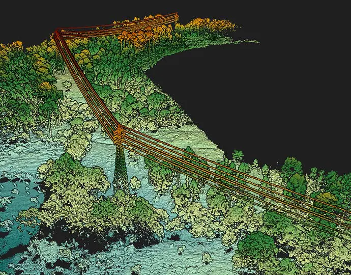
Optimized maintenance operations
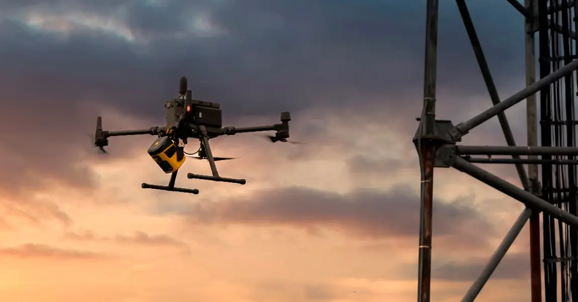
Ideal for surveying limited sections of the network which has not/can’t be scanned with airborne LiDAR (leftovers, hard-to-access, fast-growing vegetation sections…)
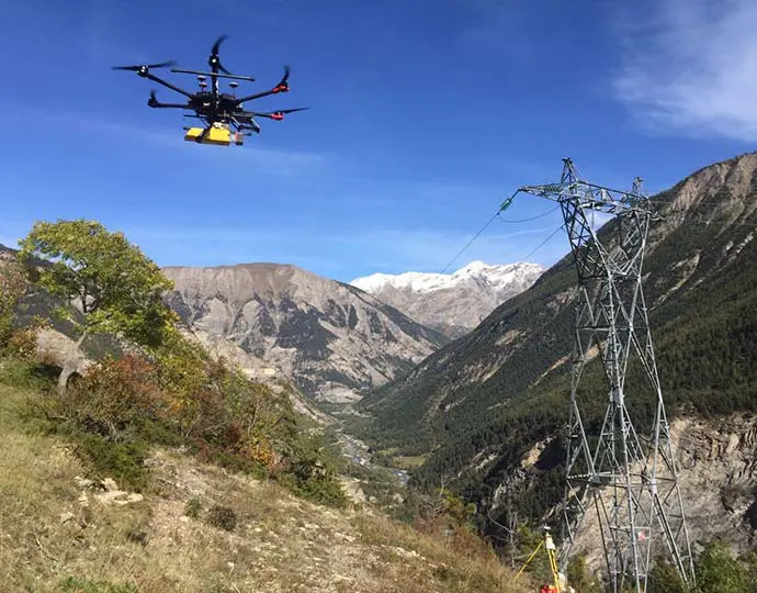
Low mobilization and demobilization
Easy to deploy and cost-effective tools for mapping areas of interest.
Security
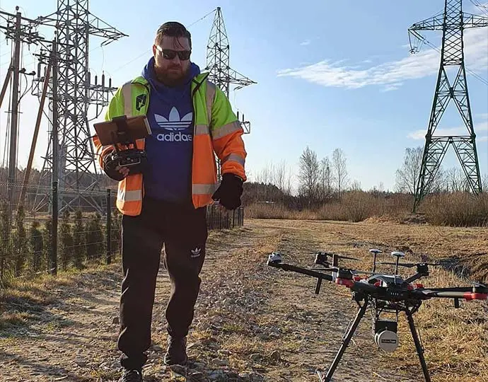
YellowScan systems allow for quick & complete acquisition while eliminating manned airborne or on-the-ground logistics
