Using LiDAR for Mining.
Fast data for modern mines.
Need help with your LiDAR project?
Let’s talk! Our team of experts can help you clarify your needs and propose the most suitable solutions for you to successfully complete your mission.
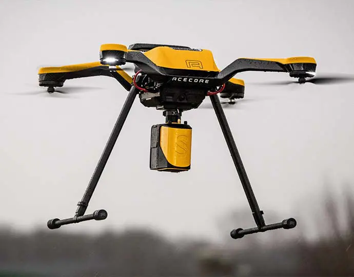
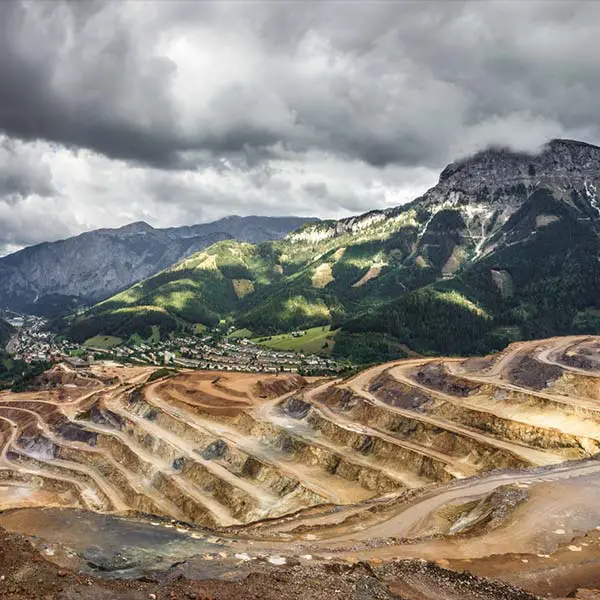
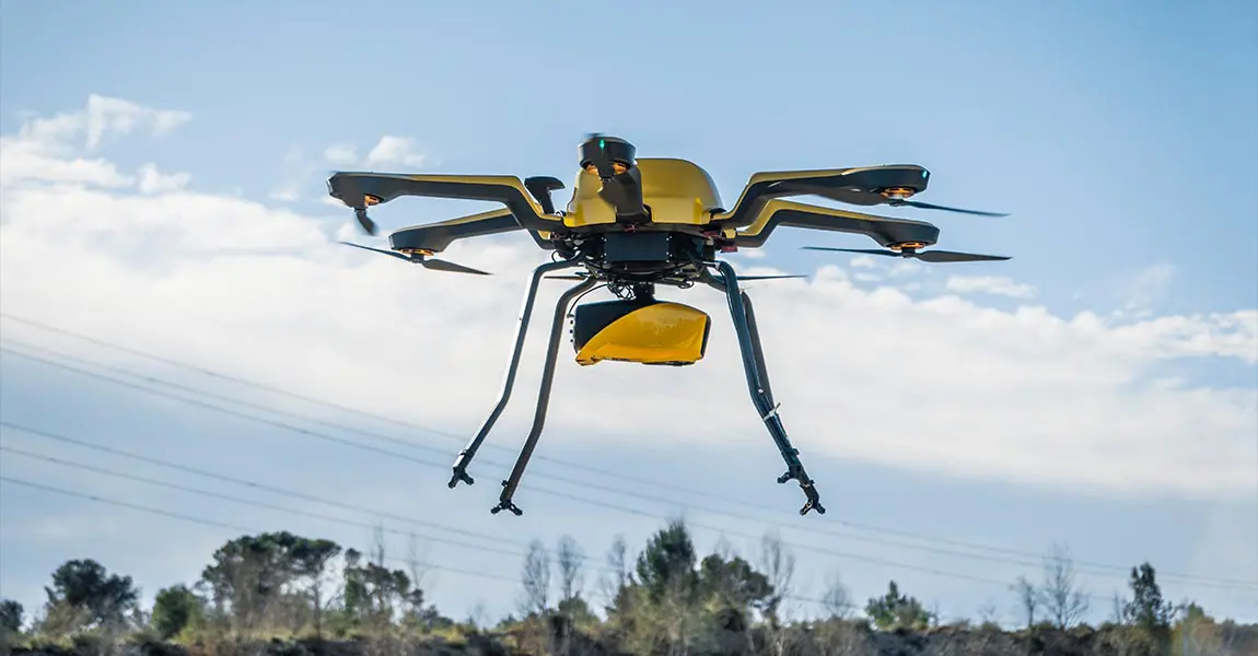
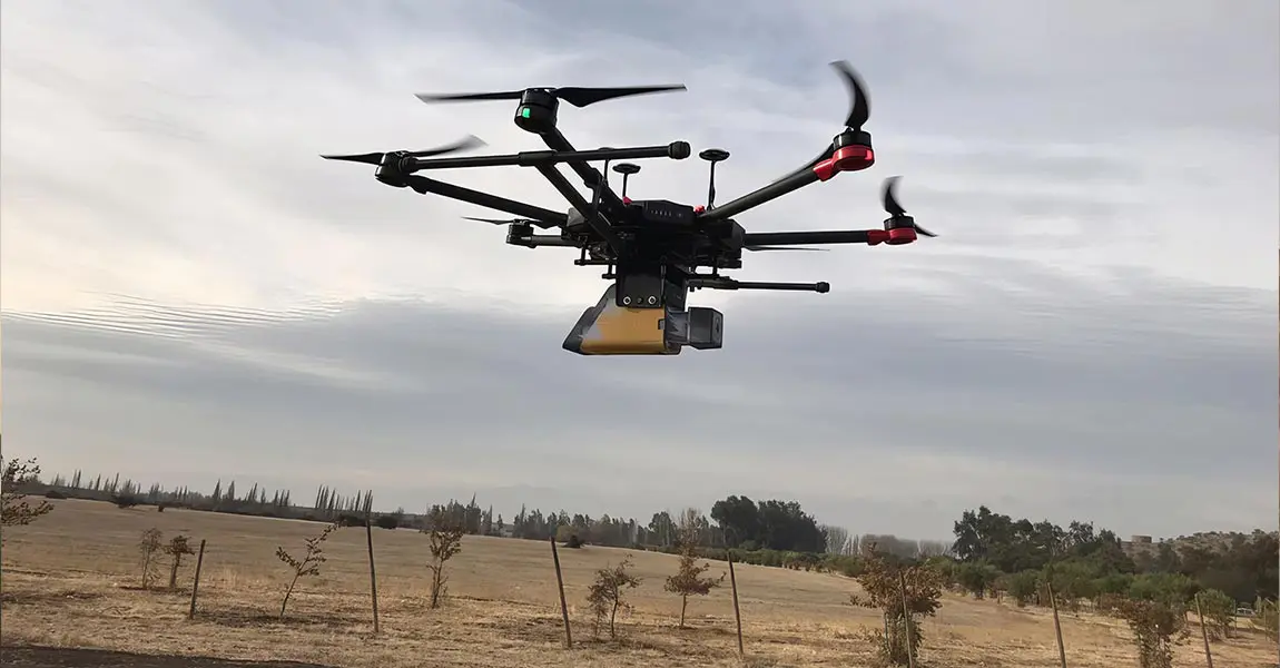
Mining can be a dangerous and expensive venture. YellowScan LiDAR solutions can help mitigate these risks and reduce costs.
Ensure proper planning and swift decision making
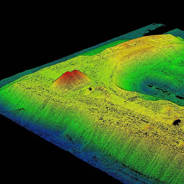
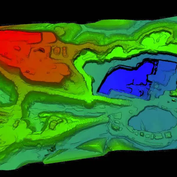
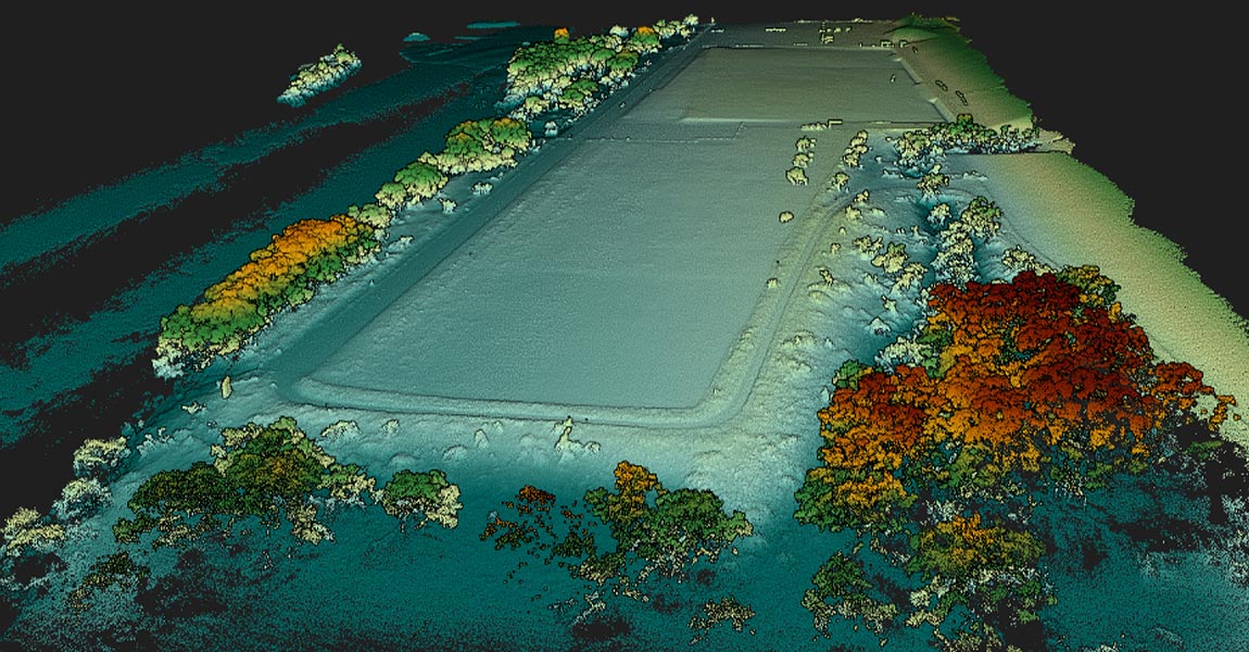
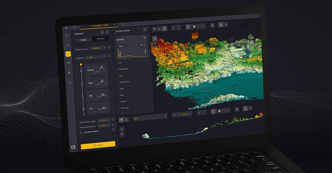
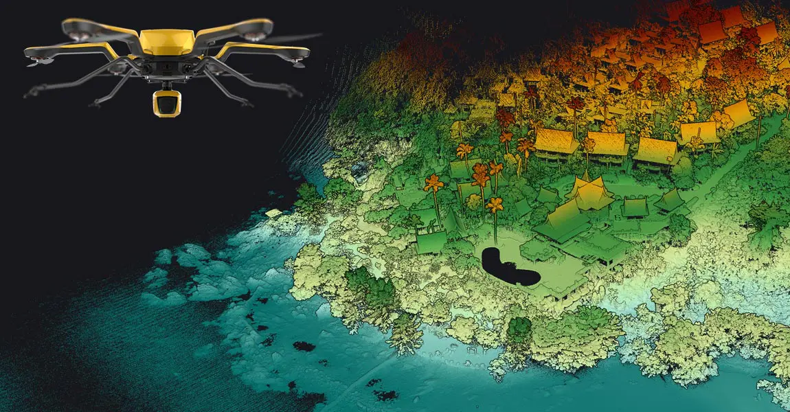
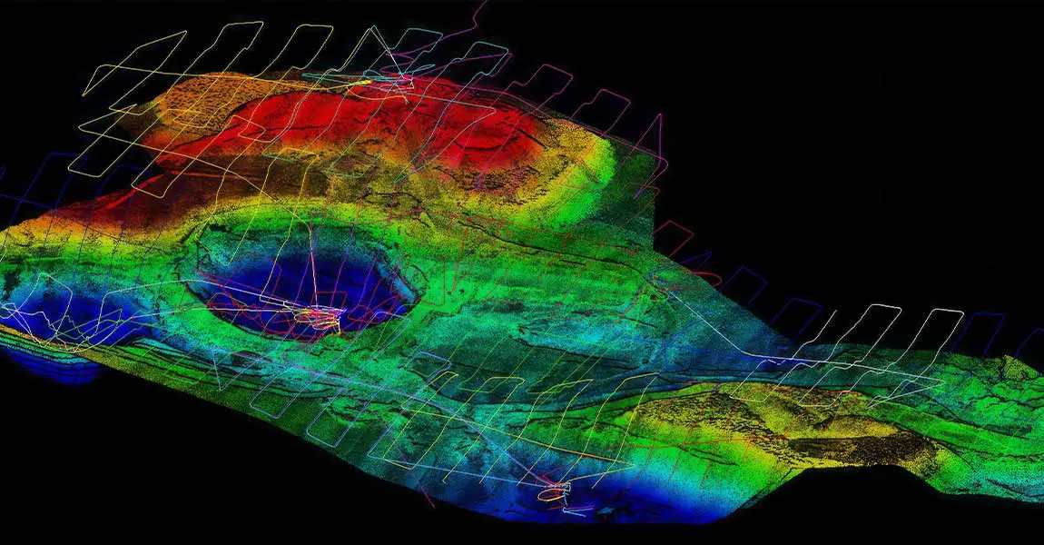
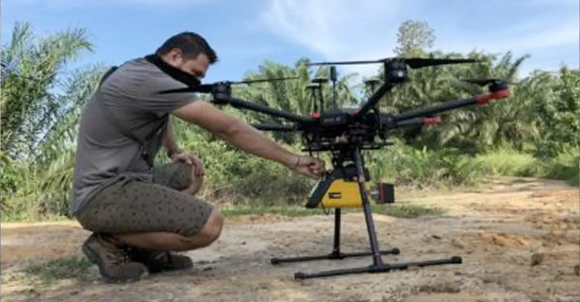
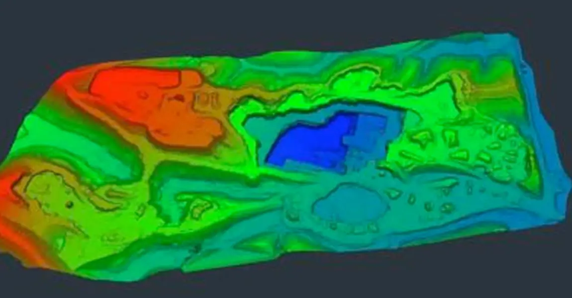
UAV LiDAR systems provide precise elevation data, inventory information, surface/volume calculations, accurate pit models, and contour maps in a fraction of the time compared to traditional methods.
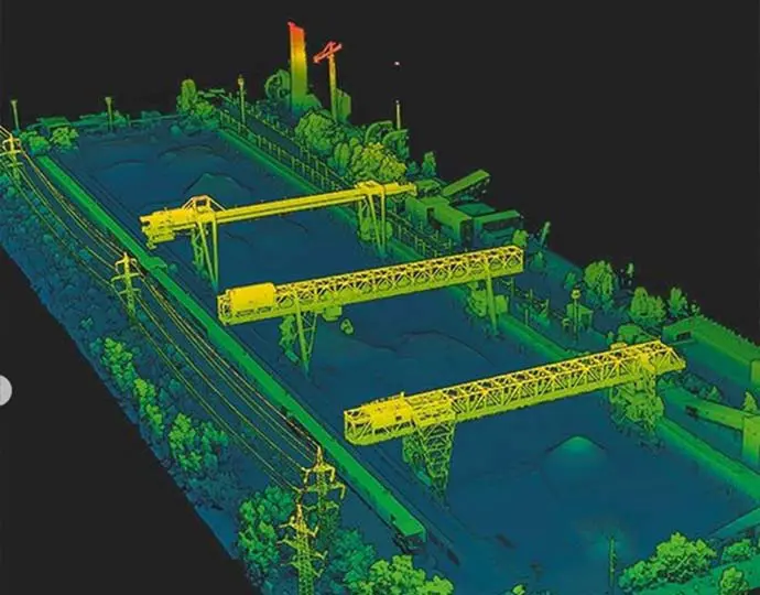
Optimized operations
Get the data you need to manage your day-to-day stock, reserve and site arrangements and reduce your total cost of operations.
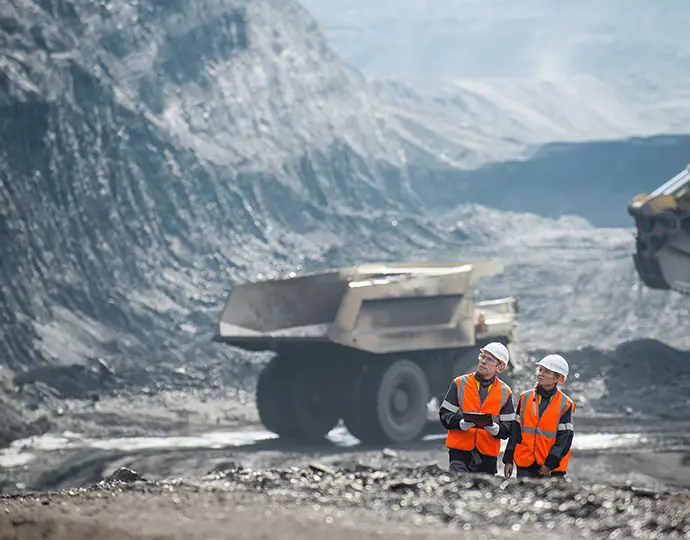
Reduce human and environmental risks
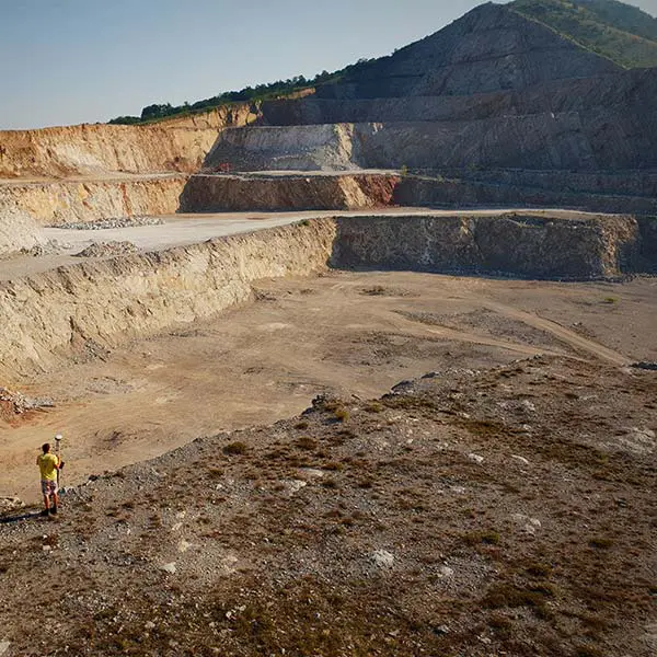
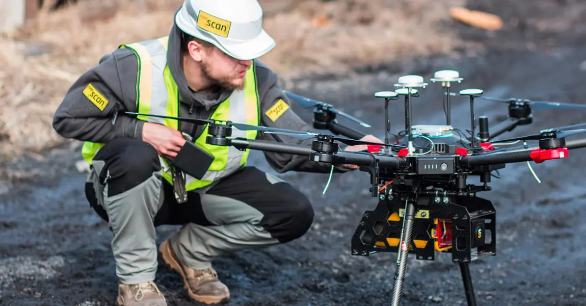
Less surveying personnel in open pit mines and more frequent change detection missions keep everyone safer–people and equipment.
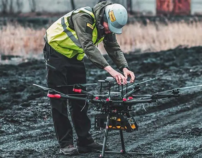
Rugged & reliable
Compatible with difficult field conditions such as extreme temperatures, humidity, and dust.
