Venturer.UAV NDAA LiDAR for Trusted and Compliant Data Acquisition
Ready to fly with confidence?
Key figures
- View detailed characteristics
- Precision1.5 cm (0.6")
- Accuracy2.0 cm (0.8")
- Typ. flight speed5 m/s
- Point density150 pts/sqm @ 50m AGL 5m/s
- Laser range150 m
- Laser scannerRiegl miniVUX-3
- GNSS-Inertial solutionApplanix APX-RTX 20
- Scanner field-of-view360° (120° in Burst Mode)
- Echoes per shotUp to 5
- Shots per second300 000
- Scanning frequencyUp to 100 Hz
- Weight2450 g (5.40 lbs) batt. Excl.
- SizeL 31.4 x W 12.7 x H 13.2 cm
- Autonomy1 hour typ.
- Power consumption50 W
- Power10-34 V
- RGB cameraDual embedded global shutter
- Max. rec. flight height120 m
- Typ. flight height100 m
What the Venturer delivers
Backed by over a decade of LiDAR expertise, the YellowScan Venturer was designed to meet real survey constraints.

Survey-grade performance
Even in challenging and poor GNSS environments

Fully local data processing
With the YellowScan CloudStation to stay in control of your data


Flexible scanning modes
- Full 360° coverage to capture vertical detail
- Or 120° Burst Mode to concentrate points for maximum density

Seamless integration
Across professional UAV fleets, avoiding platform lock-in

One versatile system for multiple missions
Maximizing ROI and time efficiency
Use cases

Construction
& Infrastructure
Accurate, repeatable data for progress tracking, as-built documentation, and site monitoring.

Corridor Mapping
Optimized for roads, railways, power lines, and pipelines — delivering consistent coverage along linear assets.

Complex Terrain
& Limited Access
Reliable performance in challenging environments where base station access is scarce or complex and access is restricted.

Public Sector
& Security-Sensitive Projects
NDAA compliance and local data processing make Venturer suitable for government-approved missions.


The YellowScan Venturer was built to meet these needs.


ACCESSORIES
So, what’s included ?

1 Hardshell backpack
3.2 kg

1 Venturer
2.45 kg

2 batteries + 1 Charger
RRC 2054-2 14.4V

1 GNSS Antenna AV18
for YellowScan systems

1 GNSS Cable
1m

2 USB keys
YellowScan 1To x2

Boresight calibration certificate

Warranty
1 Year

Technical support
1-year unlimite
Optionnal Add-ons

1 Mounting Bracket
Universal

26 MP single-camera module
178 g

61 MP single-camera module
235 g

26 MP dual-camera module
350 g

Extensions
Warranty and technical support extensions
Make your life easier
Invest in productivity-enhancing software that will simplify your workflow and give you confidence in the deliverables produced for your projects.


Burst Mode:
Maximize Point Density
In burst mode, all 300,000 laser shots per second are concentrated within a 120° field of view to maximize point density.
within a
Advanced calibration
All our systems are calibrated before shipment and come with a calibration certificate. Be ready to fly your system as soon as you receive it!

Training
YellowScan delivers complete training to new customers. The training is provided over 2 days and can take place at your premises or online.

Technical support
Our 1 year unlimited technical support from our experts enables you to confidently undertake your projects, whether you are new or experienced in the field.

NDAA Compliant
Designed and manufactured in France, the YellowScan Venturer is NDAA compliant and processes data locally through CloudStation, giving operators complete control over their sensitive data while meeting strict security and compliance requirements.

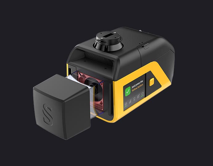
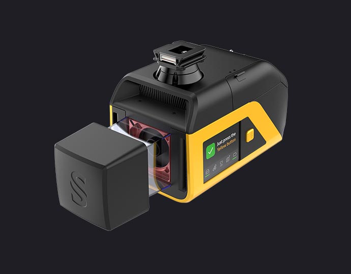
UAV Compatibility
Weighing 2.45 kg, the Venturer uses YellowScan’s Quick Release Adapters for fast, tool-free integration across a wide range of UAVs. This ensures reliable power and data while reducing integration costs, avoiding platform lock-in, and maximizing long-term ROI.
Survey-Grade Performance
Powered by the RIEGL Mini-VUX 3 UAV scanner and Trimble Applanix APX-RTX IMU, the Venturer delivers reliable positioning in poor GNSS conditions. Real-Time RTX corrections increase confidence in flight and reduce repeat missions. Advanced post-processing with POSPac Complete further improves robustness and accuracy.

Instant Readiness: Fly with confidence
As soon as the Venturer is powered on, system readiness is instantly visible on the high-brightness Yellow Touch display, readable from wide angles. Clear, intuitive information replaces confusing LED signals, enabling confident go/no-go decisions in seconds in the field.

Clean Data, Less Post-Processing
The Venturer is optimized for typical survey flight patterns, while still preserving full 360° scanning when needed. This makes it highly effective for capturing vertical structures such as façades, walls, and complex infrastructure, delivering clean, usable data without trade-offs between coverage, quality, and efficiency.

Dual Global Shutter Cameras: No Motion Blur
The Venturer integrates two global shutter cameras with a 125° field of view, closely aligned with typical survey operations. Unlike rolling shutter sensors, global shutter technology eliminates motion blur, ensuring sharp, reliable imagery regardless of flight speed or platform dynamics.
