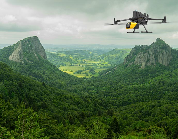
Mapper Ultra.UAV LiDAR Built for BVLOS Drone Mapping
Ready to fly with confidence?
EXTENDED RANGE
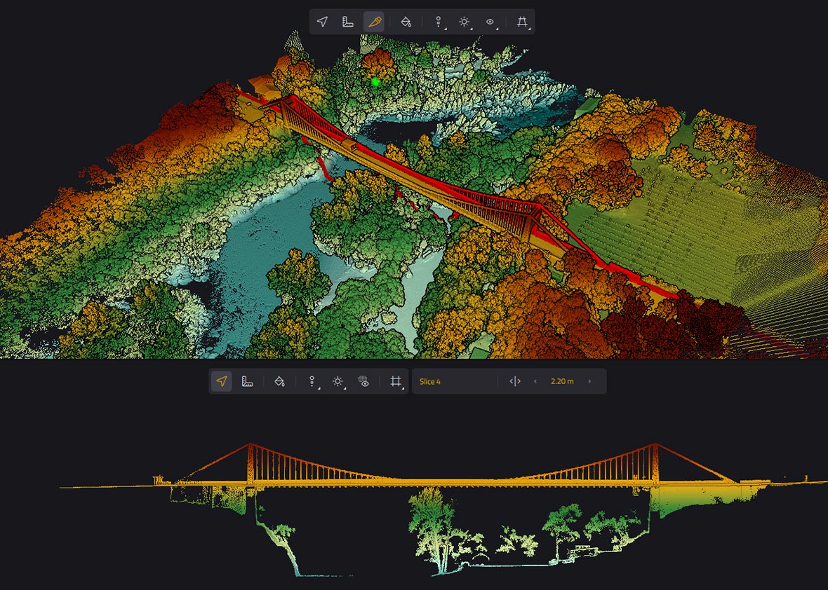
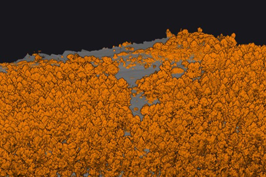
See through with up to 7 true echoes
This new generation scanner registers until 7 true echoes unveiling more details through the vegetation. Combined with the point density, this ability to penetrate the different layers of the forest are unparalleled. This LiDAR system offers 2,5 cm of accuracy and precision.
Everything you need to know about our Mapper Ultra
Yes, the Mapper Ultra is designed for BVLOS (Beyond Visual Line of Sight) missions.
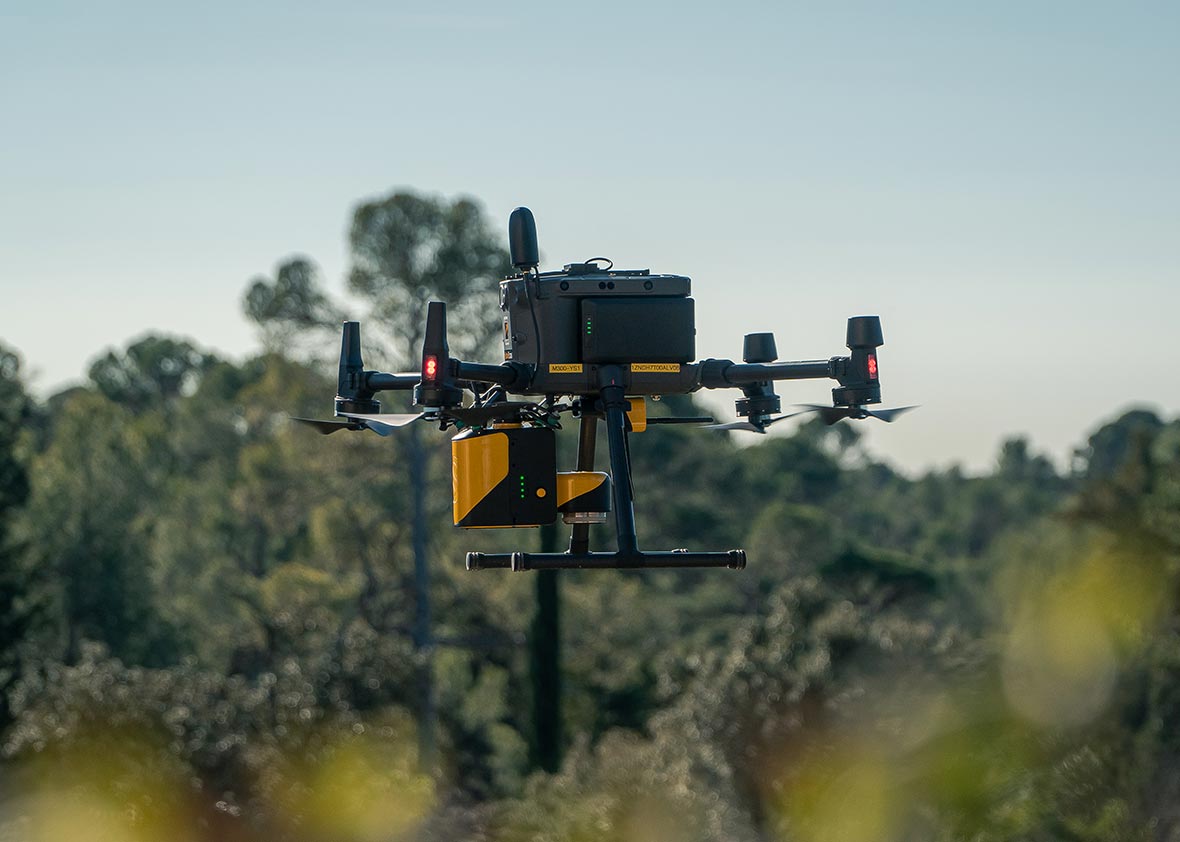
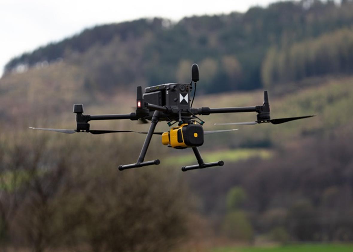
It is compatible with drone platforms supporting a 2.2 kg payload, including:
- Multi-rotor UAVs
- VTOL UAVs
- Fixed-wing UAVs
- Single-rotor UAVs
It can be UAV-powered via dedicated adaptors, eliminating the need for an external battery.
It registers up to 7 echoes (returns) in real-world conditions.
It excels in dense forests, combining high point density and 7-echo capability to penetrate vegetation and generate accurate terrain models, even in heavily forested areas.
To maintain >100 pts/m² point density and high accuracy, the recommended maximum flight height is 240 m.
At 120 m AGL with a 10 m/s flight speed, expect ~300 pts/m².
It delivers 2.5 cm accuracy at nadir from a 50 m height.
The Mapper Ultra offers 500 000 pts/s with a fixed 75° FOV and is dedicated to the drones. The Explorer offers 500 000 pts/s with a 360° FOV with the possibility to be integrated with drones and Crewed Aircrafts. The Explorer is NDAA compliant.
YellowScan CloudStation is the recommended software. Three license tiers are available, scalable to your feature needs.
Key figures
- View detailed characteristics
- Precision2.5 cm (1")
- Accuracy2.5 cm (1")
- Typ. flight speed10 m/s
- Point density650 pts/sqm @ 50m AGL 5m/s
- Laser rangeUp to 640 m
- Scanner field-of-view75°
- Echoes per shotUp to 7
- Shots per secondUp to 500k
- Scanning frequency50-250 lines per second
- Weight1950 g (4.30 lbs) batt. excl. & 2174 g (4.80 lbs) with batt.
- SizeL 25.1 x W 13.3 x H 14.7 cm
- Autonomy1 hours typ.
- Power consumption50 W
- Typ. flight height120 m
- Max. rec. flight height240 m
- RGB CameraEmbedded global shutter
- Power10-34 V
FEATURES
Go Further with Long Range Lidar surveying
BVLOS-Ready LiDAR. No External Battery Required
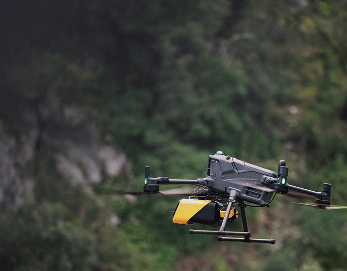
Powered by the UAV energy
A perfect solution to deployed for BVLOS missions with, hydrogen, fuel of hybrid multirotor drones or long range fixed wing.
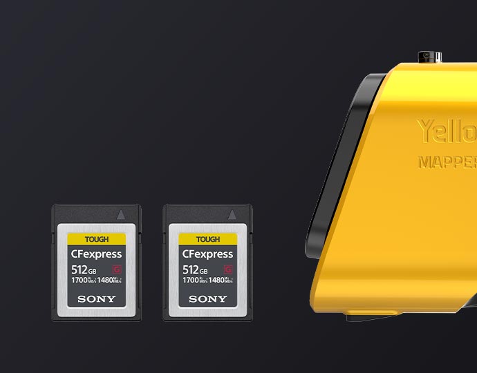
CFExpress card integration
The CFexpress card integration increases the data storage capacity to unlock larger projects
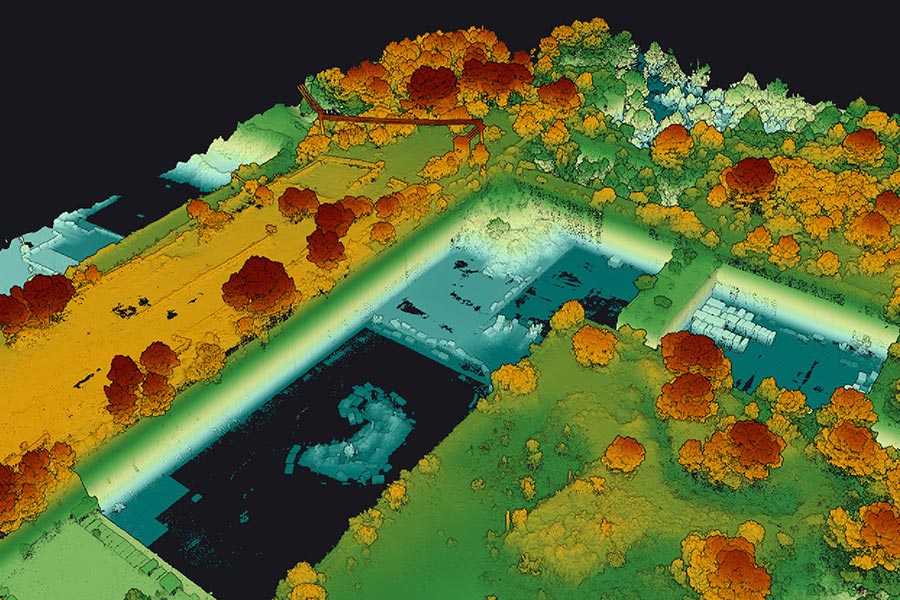
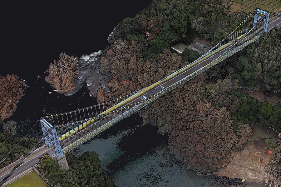
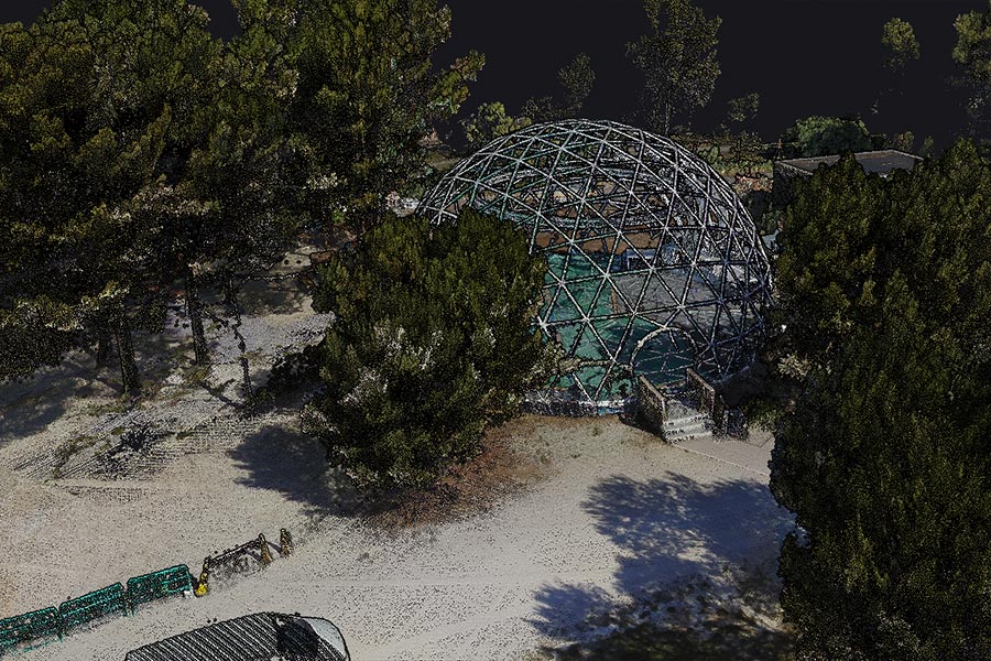
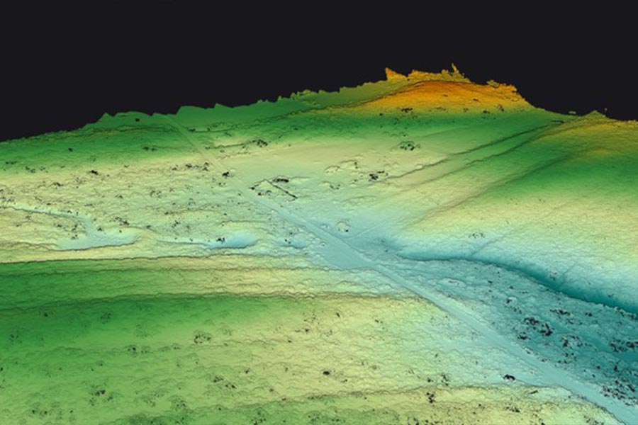
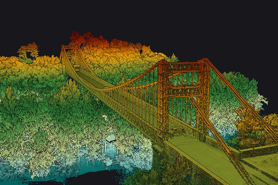
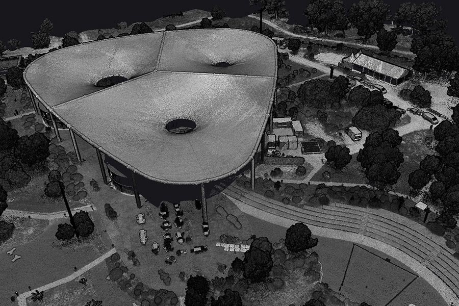
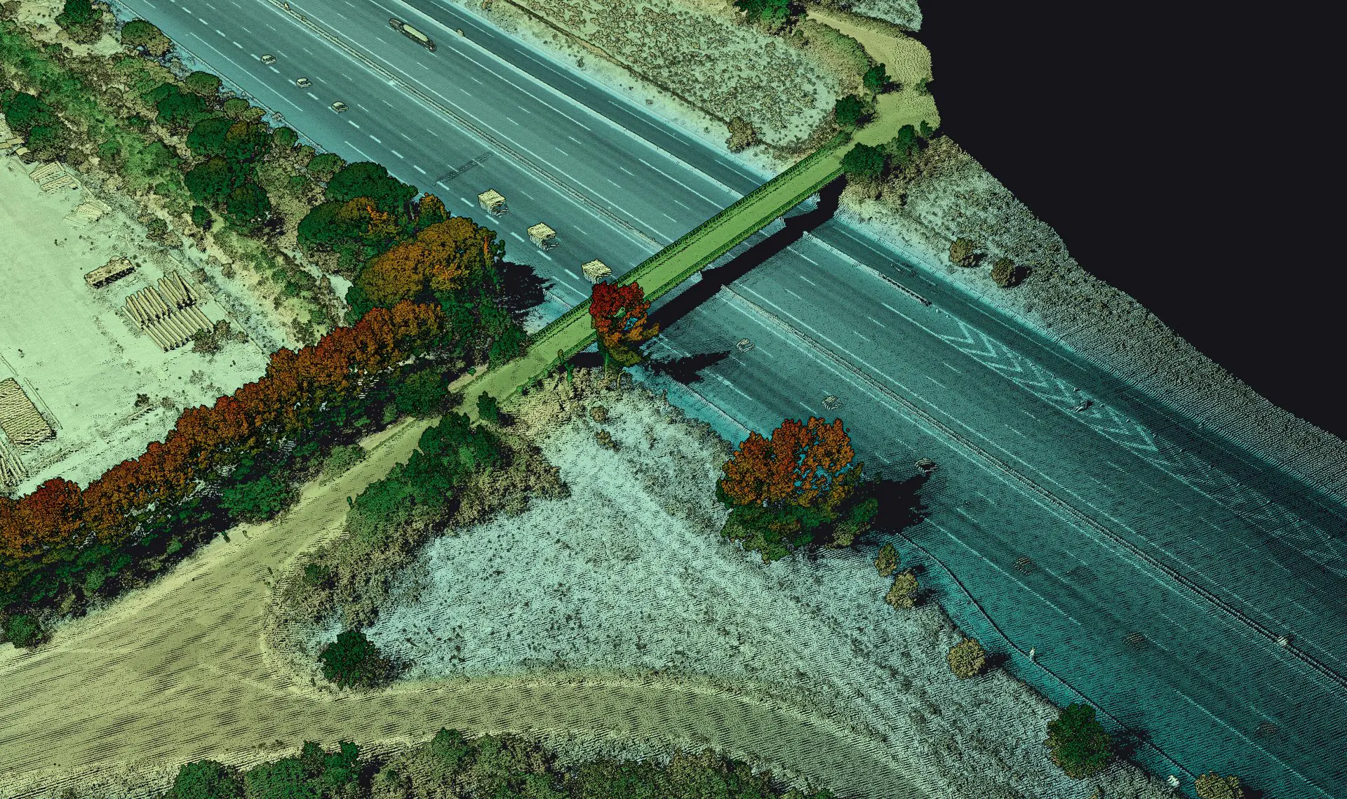
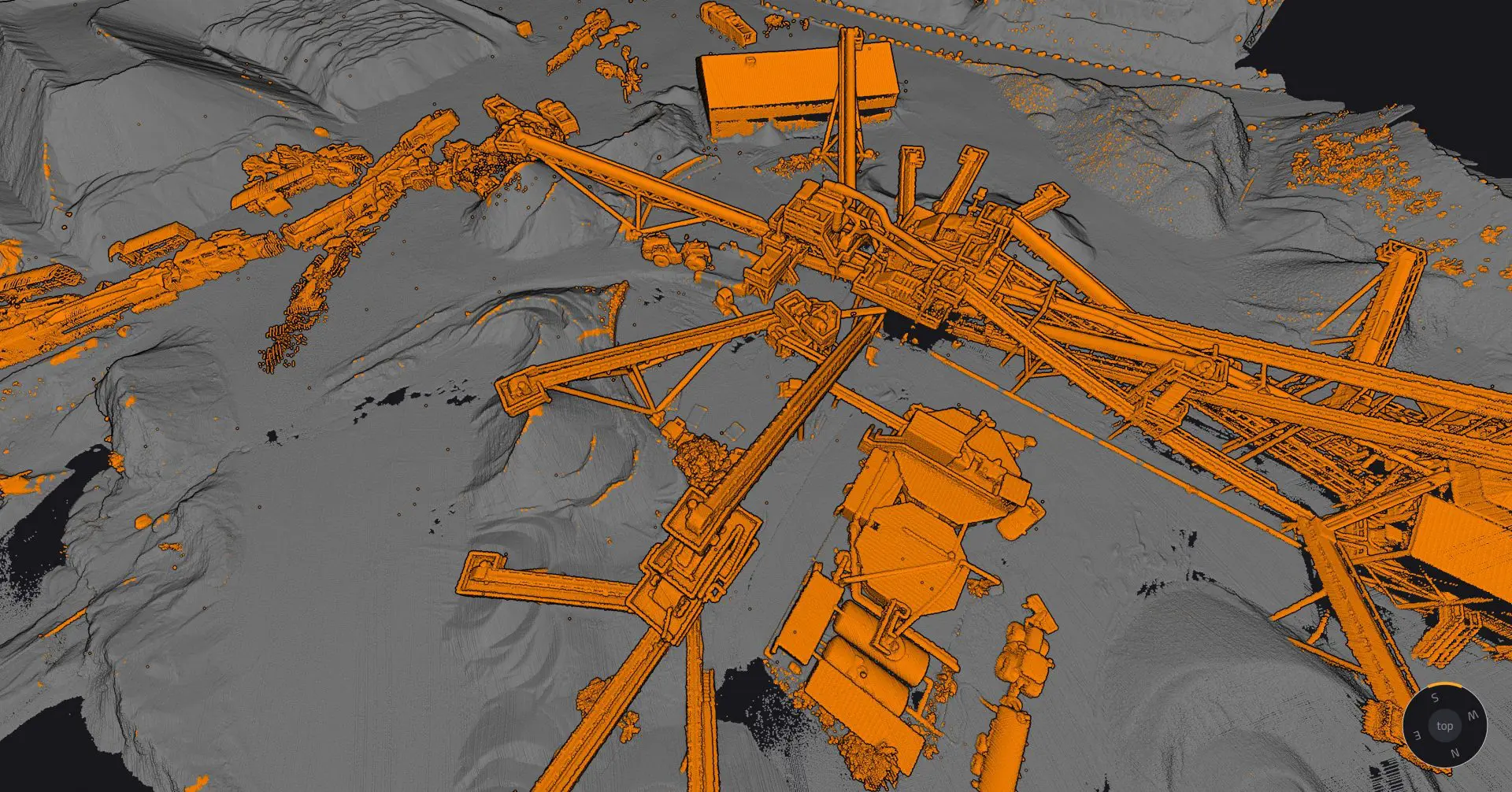
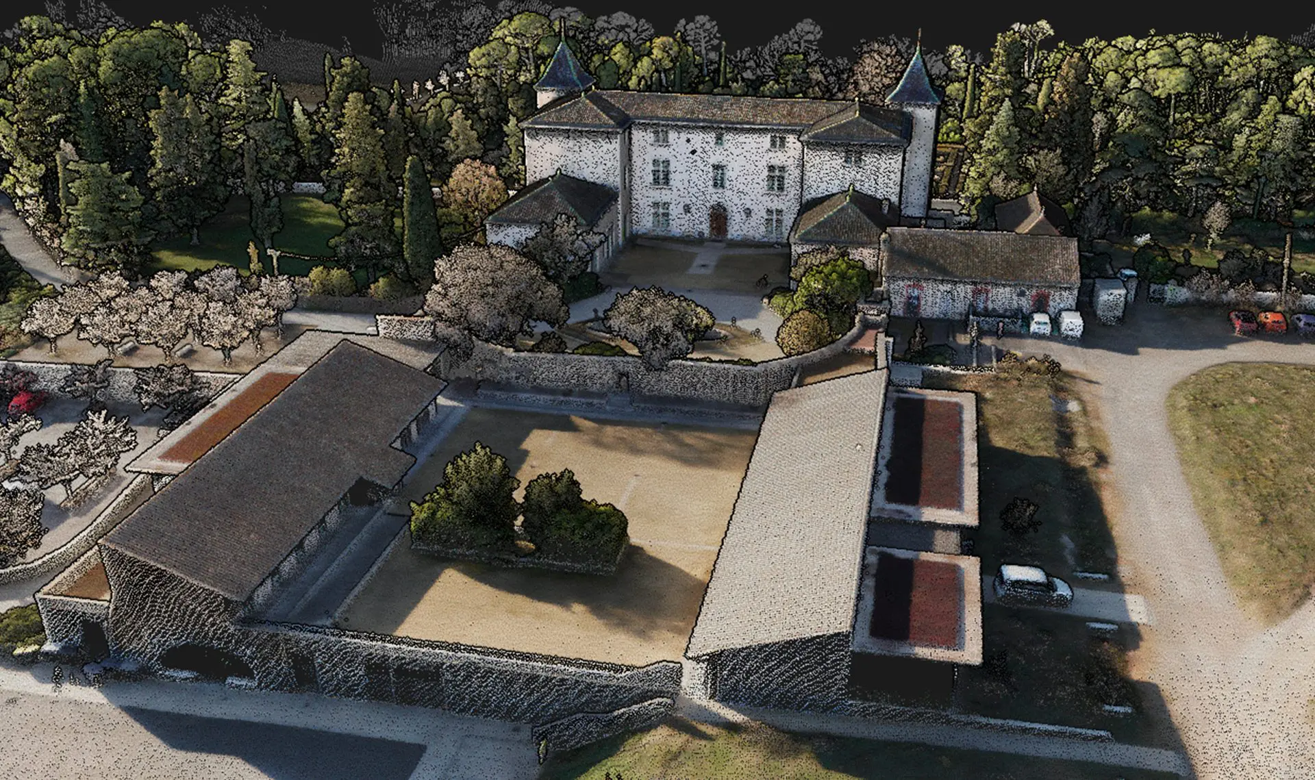
Mapper Ultra mission profiles pointclouds
Make your life easier
Invest in productivity-enhancing software that will simplify your workflow and give you confidence in the deliverables produced for your projects.
Make your life easier
Invest in productivity-enhancing software that will simplify your workflow and give you confidence in the deliverables produced for your projects.
HIGH PRODUCTIVITY
Map faster with 500,000 shot/sec
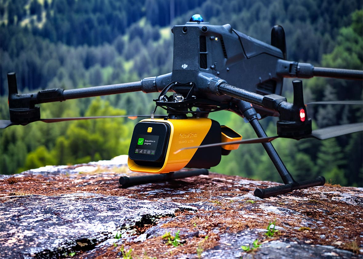
With it 75° Field of View, 500 000 shots/sec and a flight height range of 240 m, the Mapper Ultra is a powerful LiDAR for drone that can be deployed for large scale mapping.

Advanced calibration
All our systems are calibrated before shipment and come with a calibration certificate. Be ready to fly your system as soon as you receive it!
Training
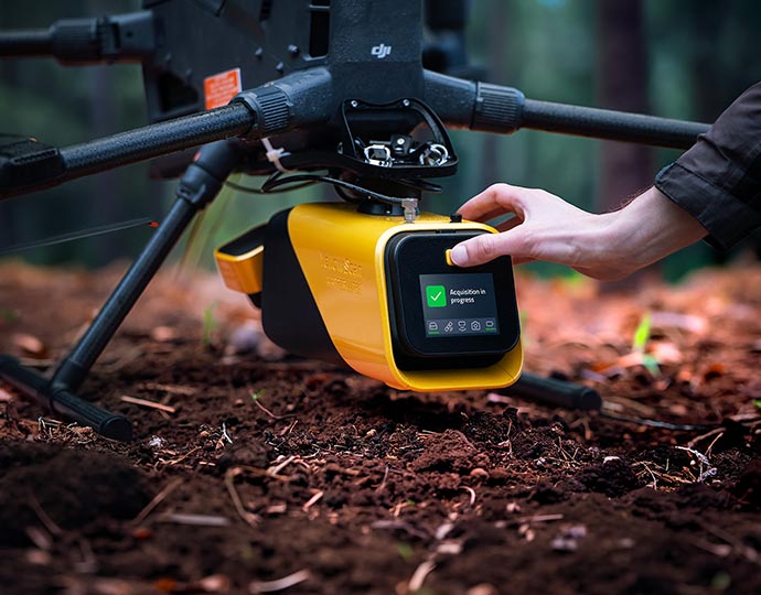
YellowScan delivers complete training to new customers. The training is provided over 2 days and can take place at your premises or online.
Technical support
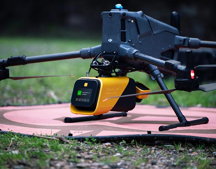
Our 1 year unlimited technical support from our experts enables you to confidently undertake your projects, whether you are new or experienced in the field.

Forestry
& Ground Mapping
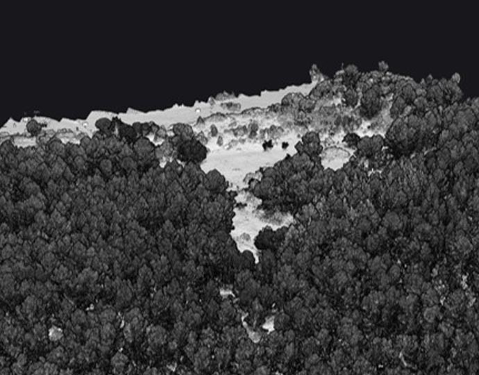
With its 7 true echoes, the YellowScan Mapper Ultra reveals the ground beneath dense vegetation to generate accurate terrain models—even in heavily forested areas. Ideal for:
- Forestry analysis
- Ground cartography
- Archaeology
- Large-scale land development
Powerline
& Utility Inspection
Inspect and monitor critical infrastructure with precision at 120 m height with a flight speed of 10m/s. Map powerlines, pipelines, and utility networks efficiently with high point density and reliable coverage. Ideal for:
- Powerlines inspection
- Pipelines surveying
- Utilities monitoring
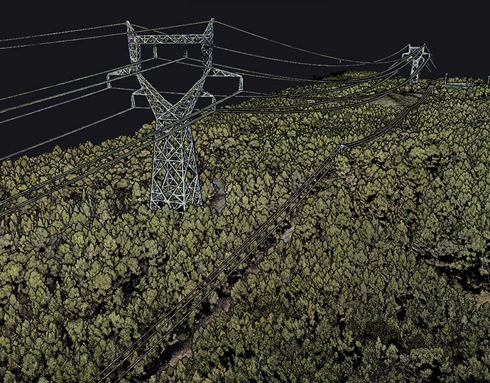
Corridor Mapping
Map long distances faster, without compromising detail.
Operate efficiently over extended corridors, even in challenging terrain with elevation changes.
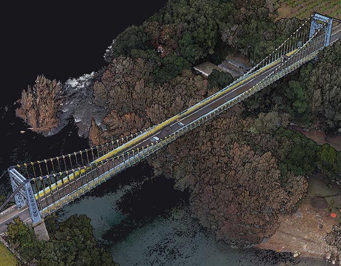
Complex Terrain Mapping
The YellowScan Mapper Ultra is a flexible topographic LiDAR system created to perform reliably across hills, valleys, and uneven terrain. And maintain consistent data quality in environments where traditional mapping becomes challenging.