Tracking dune and shoreline changes with YellowScan LiDAR
Challenge
Along the coast of Maine, USA, communities are facing increasing pressure from storm-driven erosion and rising sea levels. The region is home to sensitive ecosystems, such as habitats for endangered piping plovers, and its economy depends heavily on both tourism and the health of its coastal environment.
To respond to these challenges, researchers from the University of New England sought to better understand how coastal sand dunes evolve over time, particularly in the aftermath of major storm events.
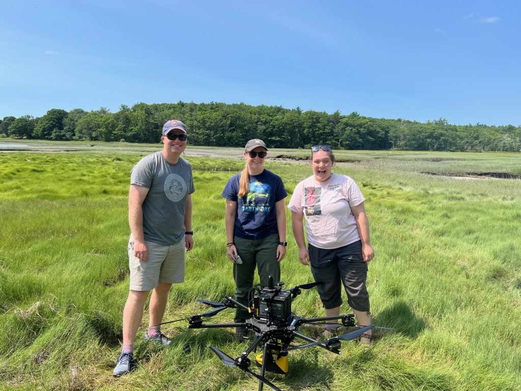
Some members of University of New England’s Coastal Research team
Solution
To monitor these fast-changing environments, the team implemented a UAV-based LiDAR approach using the YellowScan Mapper paired with an Inspired Flight 1200A drone and camera. This setup enabled accurate, high-resolution elevation mapping of coastal landscapes at regular intervals.
To help build a more resilient community, the team conducted frequent aerial surveys using a streamlined workflow, from planning through processing, to confidently track dune erosion, recovery, and sediment movement over time.
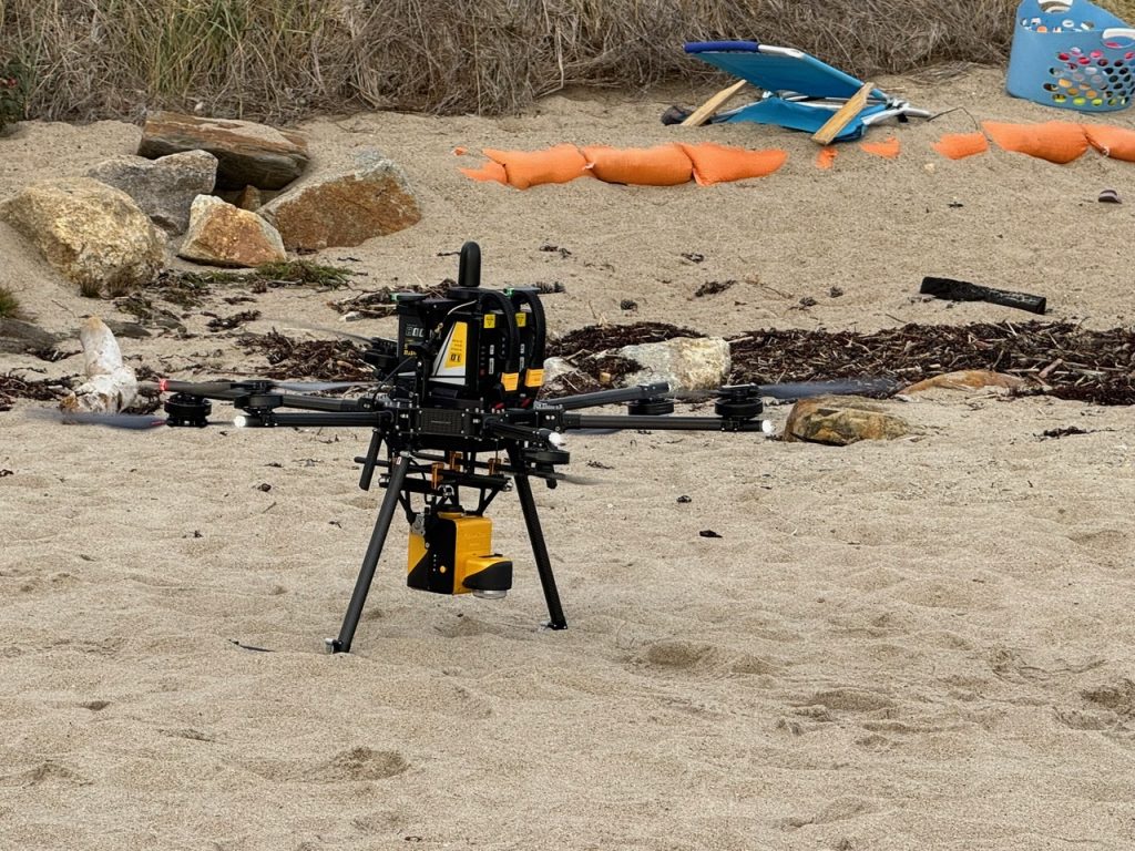
YellowScan Mapper with camera module mounted on the Inspired Flight 1200A drone
Mission parameters
- Survey size: 3 to 200 acres per site (1.21 to 81 hectares)
- Workflow duration: Planned, acquired, and processed in one day or less
- Number of flights: Multiple every month
- Flight speed & altitude: 5 m/s at 80 m AGL
- Equipment used: YellowScan Mapper with camera, Inspire Flight 1200A drone
- Software used: YellowScan CloudStation, QGIS, Global Mapper for data visualization and analysis
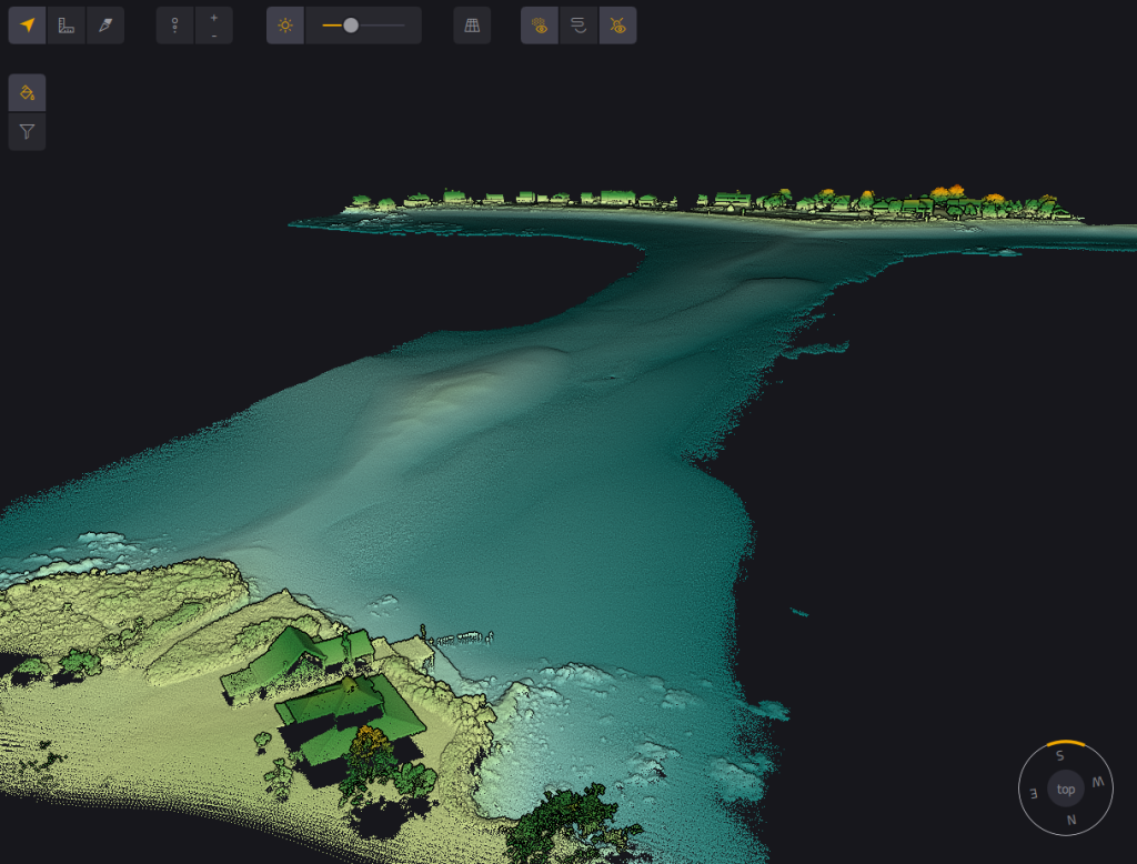
Point cloud showing a tombolo connecting Hills Beach, Biddeford, Maine to Basket Island. During low tide, cars are able to drive on the tombolo to access the island.
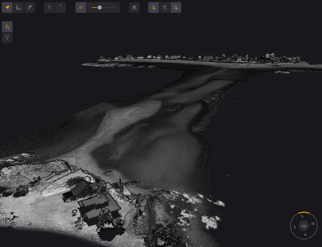
Same as the image on the left, but showing intensity instead of elevation.
Results
The team consistently achieved vertical accuracy below 10 cm, generating high-quality point clouds, even in vegetated coastal zones where photogrammetry typically struggles. While dense canopy posed occasional limitations, the data supported clear, actionable insights into dune formation, erosion rates, and landscape recovery.
These results are now being used to track coastal change more accurately and inform resilience strategies for the region. The YellowScan Mapper proved to be precise, efficient, and safe to operate in sensitive environments, making it well-suited for frequent monitoring and rapid deployment after storm events. The streamlined workflow allowed the team to deliver consistent, repeatable results that support long-term decision-making.
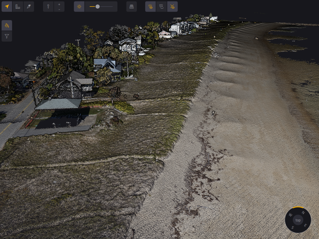
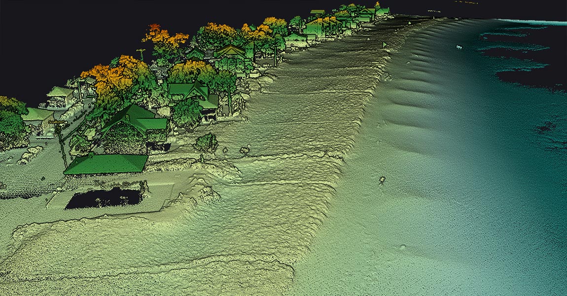
Point cloud of Hills Beach, , USA showing the houses (left side), dune (middle), and beach (right side). The steep transition from the dune to the beach is indicative of where erosion occurred during January 2024 storms that damaged most of Maine’s coastline.
YellowScan enables us to help our community by better understanding the changes happening around us. Our YellowScan mapper enables us to acquire high-quality data with ease.

