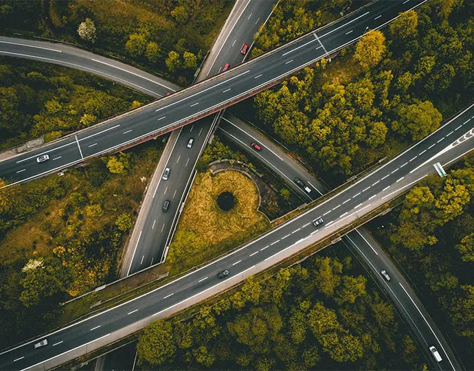
Using LiDAR for Road & Railway.
Take transport corridor mapping to the next level.
Need help with your LiDAR project?
Let’s talk! Our team of experts can help you clarify your needs and propose the most suitable solutions for you to successfully complete your mission.
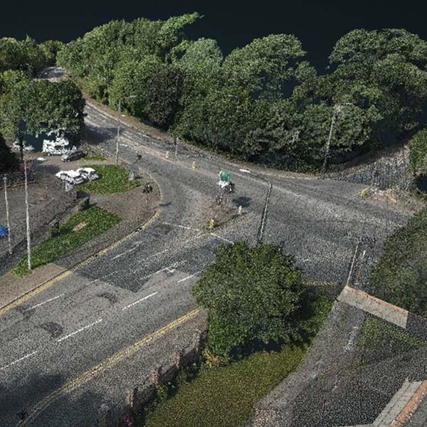
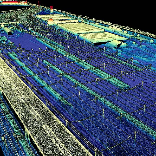
Urban and infrastructure planning requires dense pointclouds to capture every existing feature.
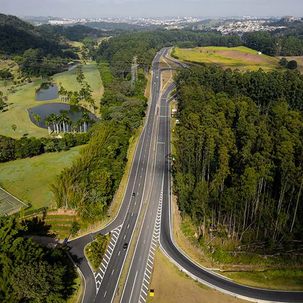
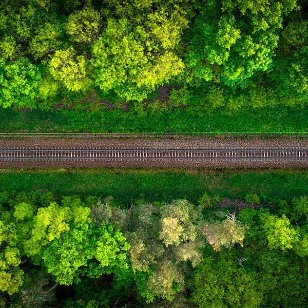
Our LiDAR solutions are the best tools to help you plan, build, and monitor your next corridor project.
Road & Railway
LiDAR applications

Knowledge base
Discover our solutions by reading about our users’ experience in the field.

Hero Image for How Weather Really Affects LiDAR Performance LiDAR technology employs light to measure distances with remarkable precision. Short for Light Detection and Ranging, this remote sensing method sends out laser pulses and measures their return time after bouncing off objects. The result creates detailed three-dimensional representations of environments.
In information analysis, measurements, and classification, especially with LiDAR solutions like those from YellowScan, the terms "accuracy" and "precision" are often confused. Although they have distinct meanings, both are essential for evaluating solution performance in fields such as UAV-based LiDAR mapping and machine learning.
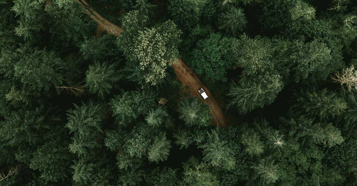
LiDAR technology sends out hundreds of thousands of laser pulses each second. It achieves impressive accuracy between 2.5 and 10 centimeters in surveyed areas. This precision makes it a great way to get data for creating detailed 3D point clouds that serve applications of all types, from geology to urban planning.
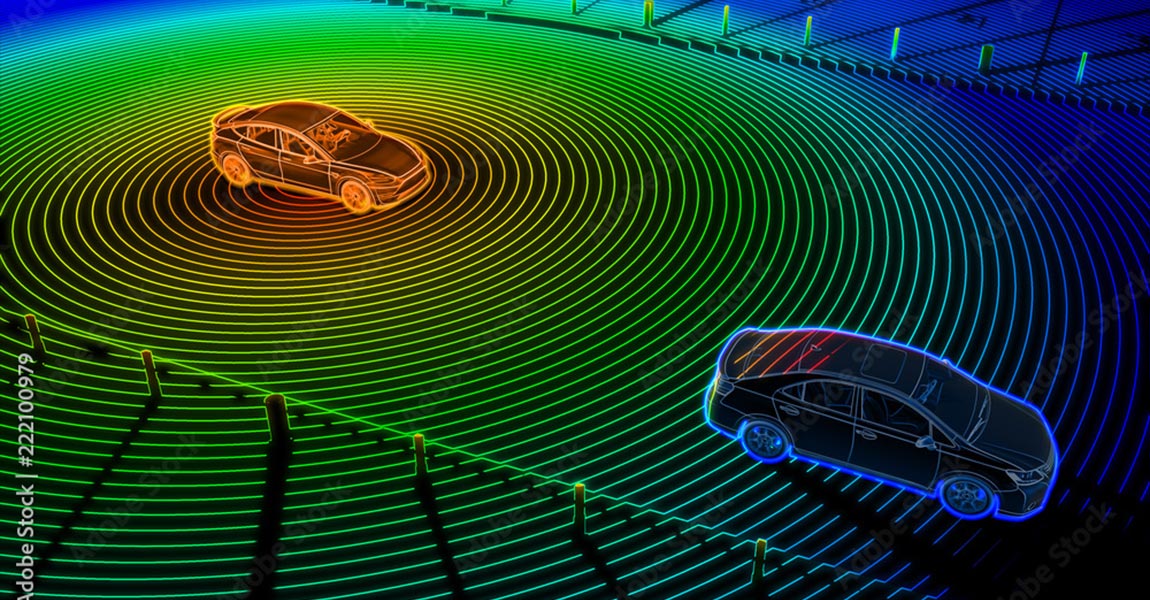
Light Detection and Ranging (LiDAR) technology powers the "eyes" of autonomous vehicles. LiDAR principle is pretty easy to understand: the system measures how long it takes for laser pulses to bounce off objects and return to the sensor. This simple concept creates detailed 3D maps with exceptional precision - about 0.1 degrees of spatial resolution.
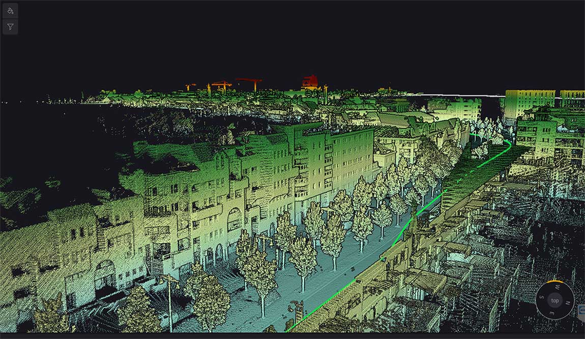
LiDAR (Light Detection and Ranging) serves as the life-blood of modern navigation systems. It provides precise spatial measurements through an elegant yet powerful operational principle. Unlike passive sensing technologies, LiDAR actively emits laser pulses toward objects and measures the reflection time back to the sensor. This time-of-flight measurement helps calculate exact distances using the formula d = (c × Δt) / 2, where c represents light speed and Δt indicates the time delay.
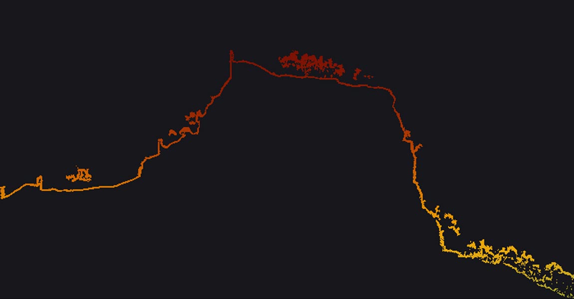
LiDAR accuracy is the life-blood of reliable spatial data acquisition. The basic concept shows how close a LiDAR measurement comes to the actual real-life value. At the time professionals discuss LiDAR accuracy, they express it as a range (±2cm) or as a standard deviation (3cm to 1σ).
We’re surrounded by raw data—from customer clicks online to 3D landscapes captured by laser scanning devices like LiDAR. Every day, vast volumes of information flow from sensors, online sales, customer surveys, or the LiDAR systems YellowScan offers.
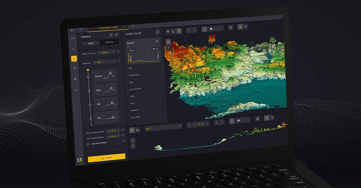
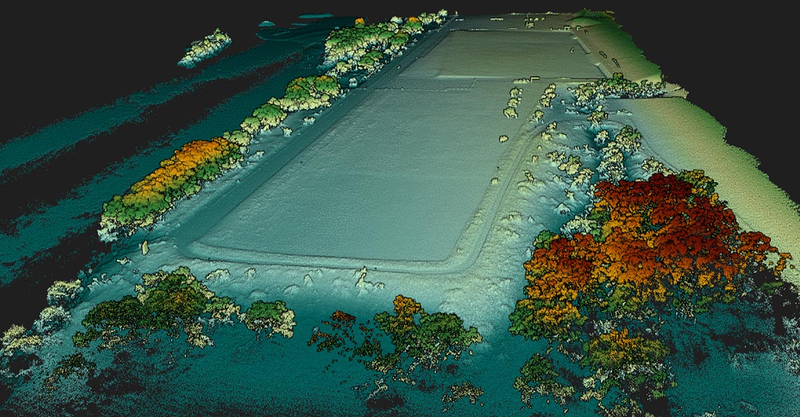
This article explains what LiDAR point clouds are and how they are used for 3D mapping applications. Learn the basics of LiDAR point clouds!
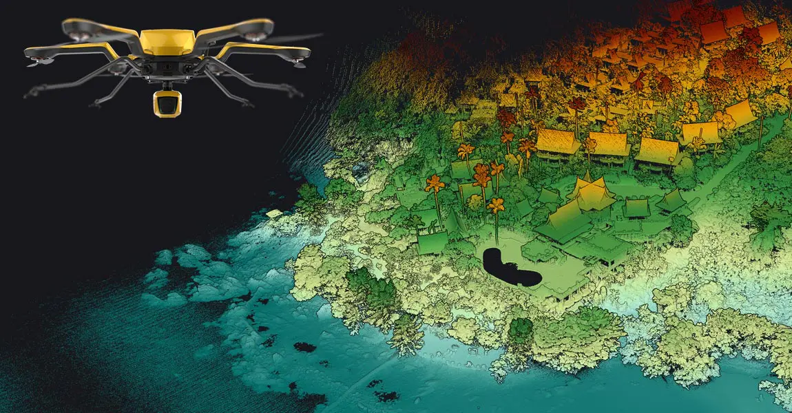
LiDAR scanners are used for capturing 3D point clouds. But how do they work? This and more are explained in the article below, which covers the operating principle of different LiDAR scanners and explains how distance measurements are transformed and combined into 3D point clouds. These provide the basis for many 3D mapping products used for different industry applications.
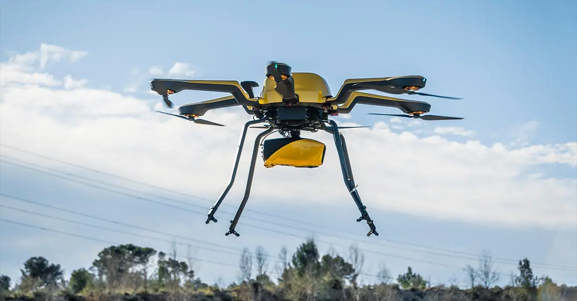
A LiDAR drone is an unmanned aerial vehicle (UAV) equipped with Light Detection and Ranging (LiDAR) sensors. A LiDAR is an active sensor that uses inertial measurement to correlate where it is on the earth’s surface, resulting in a direct measurement of the earth.
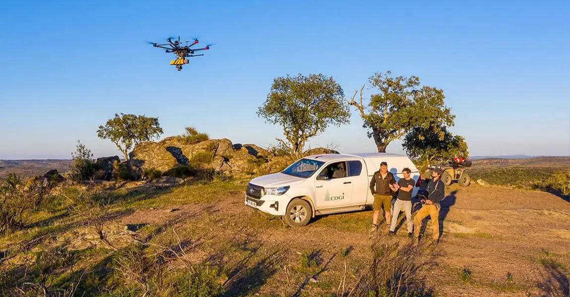
The SNCF wanted to compare UAV LiDAR surveys with those done with traditional methods, in a real work situation. Discover the success story.
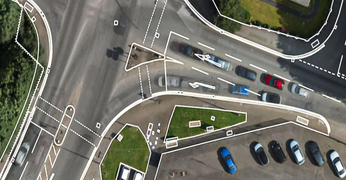
FlyThru was mandated by their client, the digital construction team at Eurovia Infrastructure, to survey an area for a roadway project.
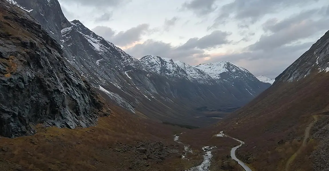
Learn more about a proof-of-concept event to evaluate use of the latest LiDAR and drone technology to help with avalanche risk monitoring.
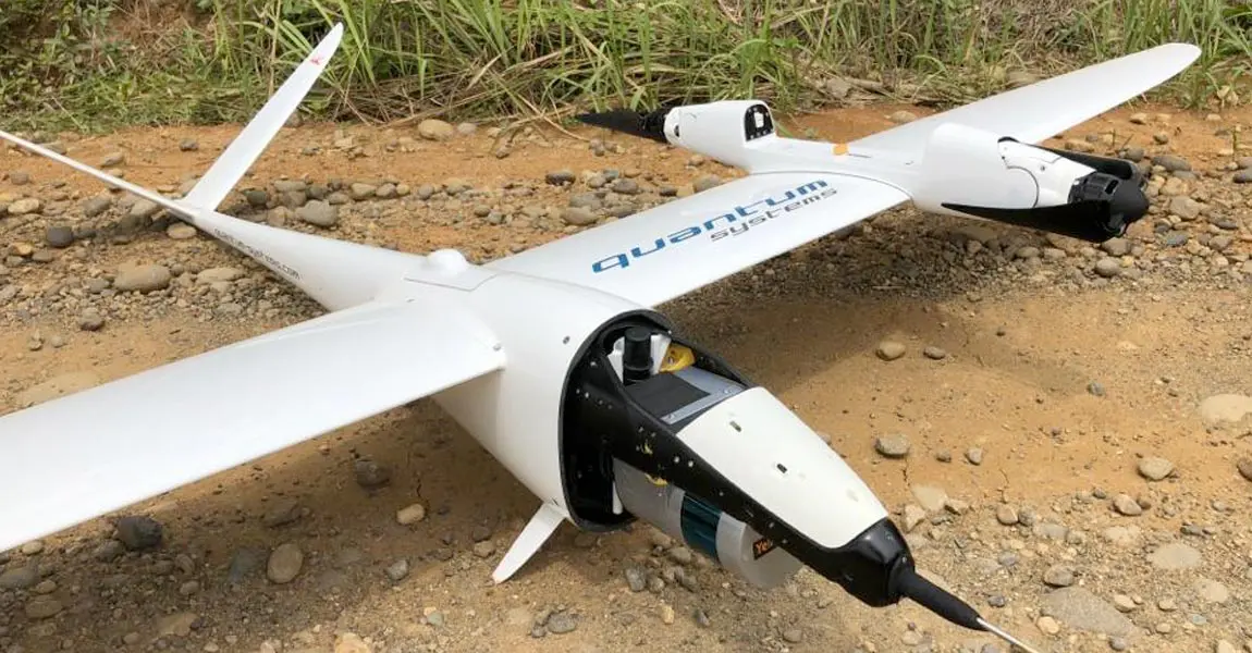
Hutama Karya, a state-owned company building infrastructures, has been assigned to toll-road construction, on Sumatra island.
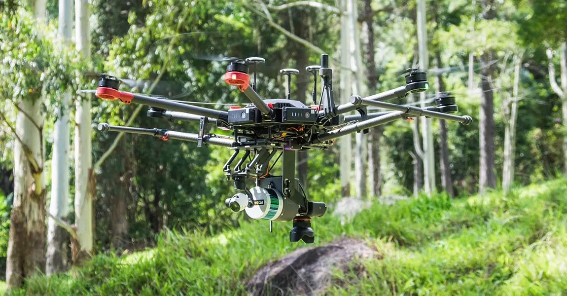
Discover how YellowScan solutions helped Diodrone to collect high quality of data covering an area of 400ha of mountainous terrain.
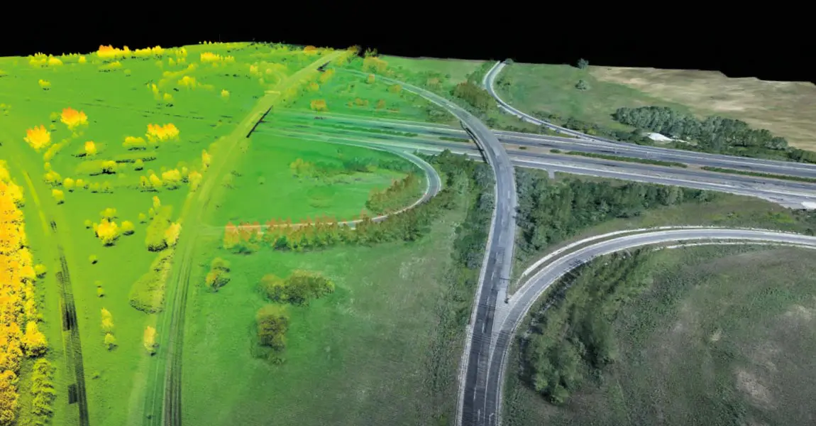

Unveiling What’s Next in LiDAR by YellowScan



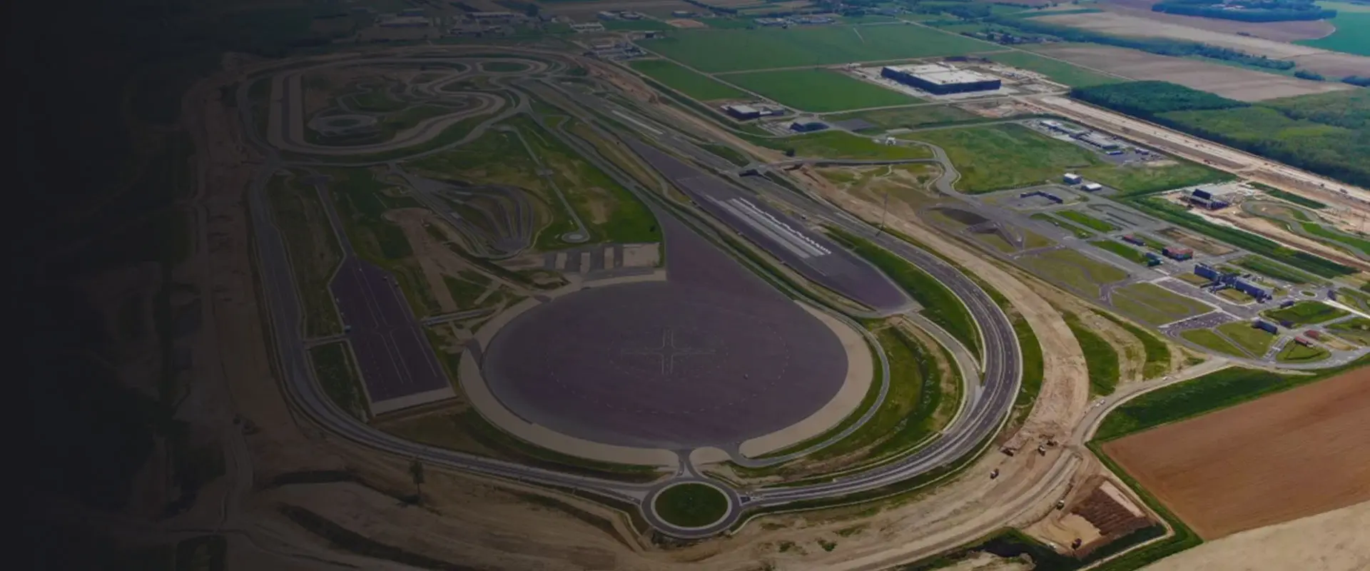
Webinar: Cross-Country Mapping with YellowScan UAS Data


Predictive maintenance
Manage topographic maps prior to construction.
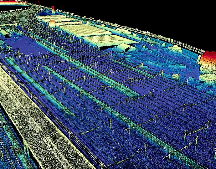
Ensure proper planning and decision making
Enhance maintenance planning and scheduling for equipment and teams.
Save time and cost
Get comprehensive, ready to use data in a fraction of the time compared to traditional survey methods.
Reduce human risks and traffic interruptions
Decrease safety issues by keeping roads open and minimizing the impact on traffic.