Shallow Water Bathymetry with UAV & YellowScan Navigator
Challenge
Enso Geospatial and LIA Engineering and Survey LTD. have been working together for years to improve shallow water mapping and deliver top-tier results to their clients. Over time, they’ve tested various green wave LiDAR sensors in their search for better data quality, higher point density, safer, flexible and more efficient survey methods.
For this mission, the goal was to acquire high-resolution bathymetric data quickly and safely in shallow water areas. The team needed a reliable solution to support the monitoring of marine infrastructure and sedimentation around shoreline protection structures. Shallow environments pose significant challenges for both manned vessels and USVs with Multibeam Echosounders (MBES) due to limited swath coverage, danger of getting too close to breakwaters and extremely shallow water. They needed an airborne solution that could match MBES in density, accuracy, and precision, but without the risks of operating in shallow waters, and with a much faster turnaround.
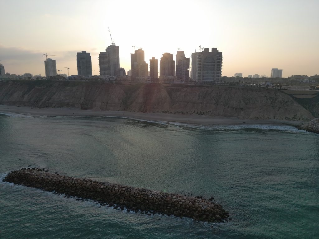
Shoreline survey site where the YellowScan Navigator enabled safe, efficient UAV-based data collection.
Solution
The YellowScan Navigator was deployed on a DJI M600 Pro UAV, and the data was processed using YellowScan’s CloudStation software. This setup offered the right balance of performance, safety, and ease of use in shallow and transition zones. The flexibility on the operational side was also a major advantage, as water clarity in the survey area (Eastern Mediterranean) is poor, and the ability to conduct a quick survey whenever weather conditions allowed was invaluable.
This project was one of several collaborative efforts by Enso and LIA Engineering aimed at advancing nearshore mapping capabilities. The system’s ability to deliver consistent results when mounted on a UAV made it a practical and effective choice.
Data processing included tools like Global Mapper (for QC and coordinate conversions), QGIS (for raster analysis), and QPS Qimera (for point cloud cleaning and manual classification).
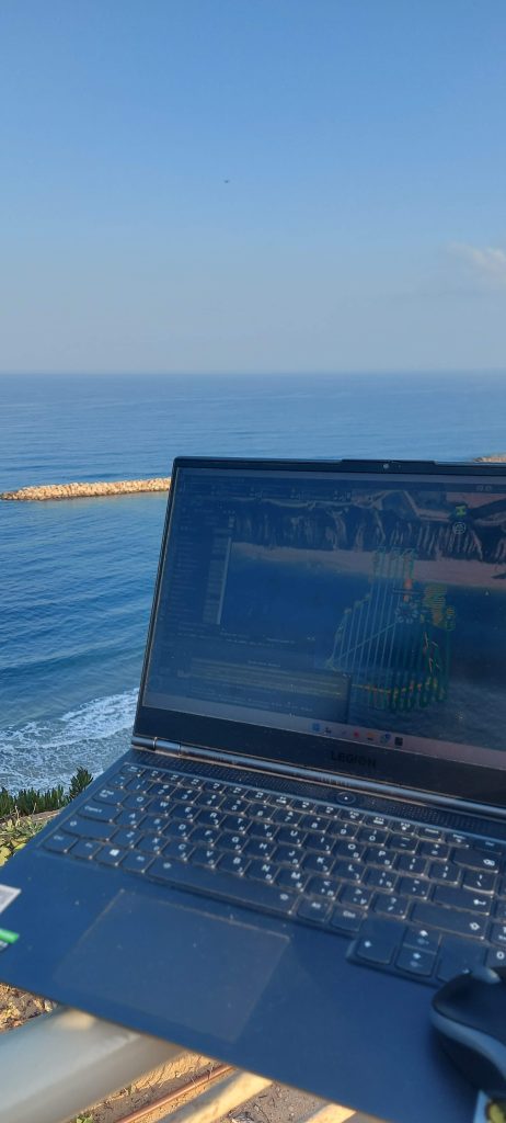
Bathymetric LiDAR flight plan and coverage using YellowScan Navigator.
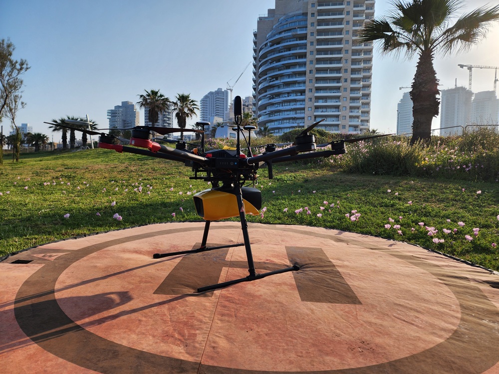
YellowScan Navigator mounted on DJI M600 Pro
Mission parameters
- Survey size: 200 x 150 meters
- Number of flights: 1
- Flight altitude & speed: 80 meters AGL at 5 m/s
Planning + acquisition time: 2.5 hours, including a small SBES survey for QC - Processing time: One additional office day
- System used: YellowScan Navigator mounted on DJI M600 Pro
- Post-processing software: CloudStation, Global Mapper, QGIS, QPS Qimera

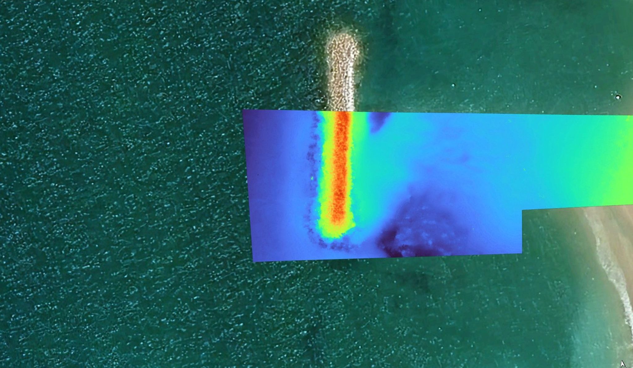
Cross section of the resulting LiDAR data over the breakwater and surrounding waters
Results
- Point density: 30 to 60 points per square meter
The project confirmed that the YellowScan Navigator can capture highly accurate and dense bathymetric data in shallow water and water/land transition zones. With point densities ranging from 30 to 60 points per square meter, the team was able to create a high-resolution DTM suitable for detailed monitoring applications. The entire mission, from planning to final processing, was completed in just over a day, highlighting the efficiency of the workflow.
The Navigator proved to be one of the few green wave LiDAR systems that can be easily mounted on a UAV, offering both flexibility and speed. It provided a strong alternative to MBES in low-turbidity environments, with significantly lower mobilization costs. The support from YellowScan also stood out: responsive, communicative, and reliable throughout the project, giving the team the confidence to move forward with future use cases.
In comparison, MBES operations require at least 3–4 hours of data acquisition and are limited by navigation safety to water depths of about 3 meters. They also involve costly mobilization, with approximately 4 hours of sailing to the survey site and an additional 30 minutes to get the system operational, including casting sound velocity profiles. In contrast, using the YellowScan Navigator took us about 2 hours of driving to the site, 10 minutes of preparation before takeoff, and around 12 minutes of data acquisition.
The ability to harvest topo-bathymetric data on shallow areas with extremely low mobilization costs provides a real and reliable alternative to MBES and exceeds all deliverables coming from airborne LiDAR on airplanes in aspects of data density and accuracy.

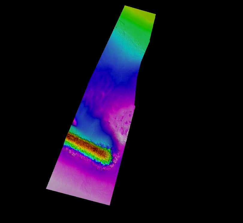
Digital terrain models (DTM) derived from the LiDAR point cloud,
colored by height.
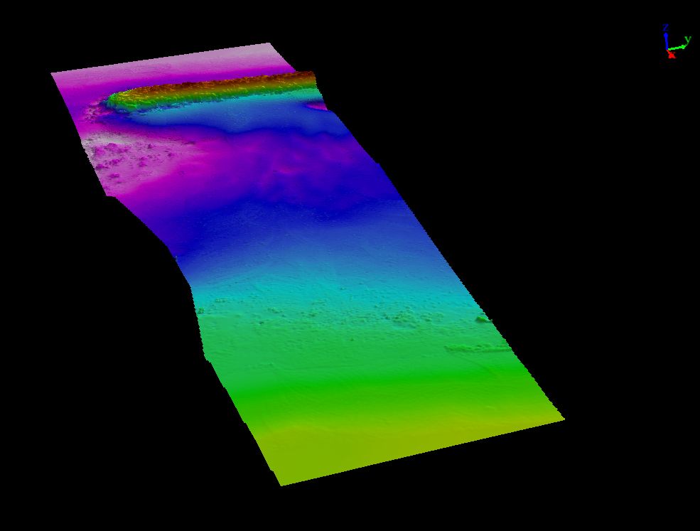
Digital terrain models (DTM) derived from the LiDAR point cloud,
colored by height.
