Environmental Monitoring and Analysis using LiDAR Technology

In the realm of environmental monitoring and analysis, the accurate assessment of vegetation plays a crucial role in understanding ecosystems. Drones equipped with advanced imaging technologies have revolutionized this process by providing efficient and precise data collection methods. This case study highlights the use of the Mapper and Mapper+ LiDAR systems, along with their specific flight configurations, to determine the number of shrubs present on a designated site.
Mission Challenge
Accurate ground topography data is essential for understanding terrain variations, water flow patterns, and landscape characteristics. Traditional ground survey methods can be time-consuming and may not cover large or inaccessible areas effectively. The challenge was to acquire high-resolution ground topography data swiftly and accurately, enabling efficient decision-making for various applications.
Objectives
The primary objectives of this study were as follows:
- Utilize the Mapper and Mapper+ solutions for aerial data collection to determine the number of shrubs within a designated site.
- Assess the effectiveness of the Mapper and Mapper+ in terms of flight time, image quality, and data accuracy.
- Compare the results obtained from the two drone models and their respective flight configurations.
Acquisition
In this study, two LiDAR systems were used, the Mapper and Mapper+, both equipped with their camera modules. These solutions were integrated onto the IF12000A drone using the Gremsy quick-release clip. The Mapper+ was flown at a velocity of 5 m/s and a flight height ranging between 60 and 70 meters. Similarly, the Mapper was flown under the same conditions. The mission involved covering a surface area of 80,000 square meters.
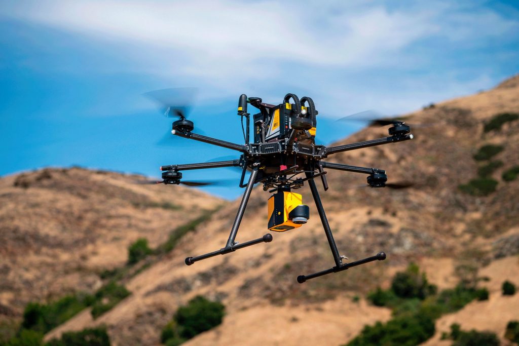
The YellowScan Mapper mounted with the IF1200A
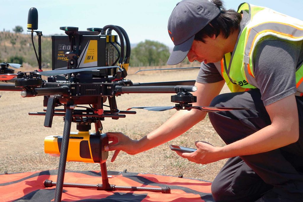
Operating the YellowScan Mapper+ LiDAR system
Mission Parameters
- Velocity: 5 m/s
- Flight Height: 60-70 meters
- Surface Area Covered: 80,000 m²
- Flight Duration: Approximately 16 minutes with the Mapper+ and 19 minutes with the Mapper.
Results
The aerial survey conducted using the Mapper+ yielded valuable insights. The data collected during its 16-minute flight provided a comprehensive understanding of the shrub distribution across the surveyed area. Similarly, the 19-minute flight with the Mapper of also captured detailed information about the shrub population within the same region.
Upon analysis, the Mapper+ showcased its efficiency by covering the designated area in a shorter time, owing to its faster flight speed. The high-quality imagery acquired by both LiDAR solutions allowed for accurate counting of shrubs. Furthermore, the data collected can be used for more detailed classification using specialized software such as the YellowScan CloudStation.
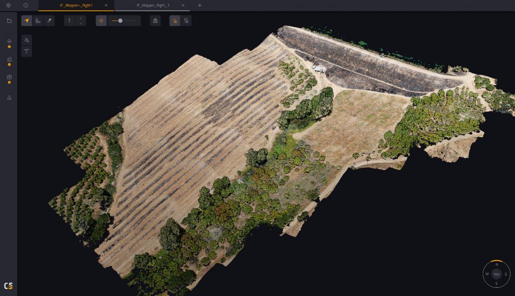
LiDAR point cloud of shrubs on site
Setting up each of their products has involved little more than getting it attached to the vehicle. The VX-20, Mapper and Mapper+ were all integrated seamlessly using both YellowScan mounting hardware or Gremsy Quick Connect mounts and tested in the field with great results.
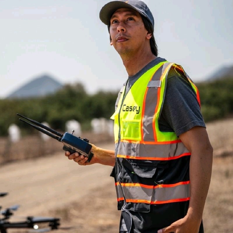
Casey Viera
Operations Fleet Manager – Inspired Flight
