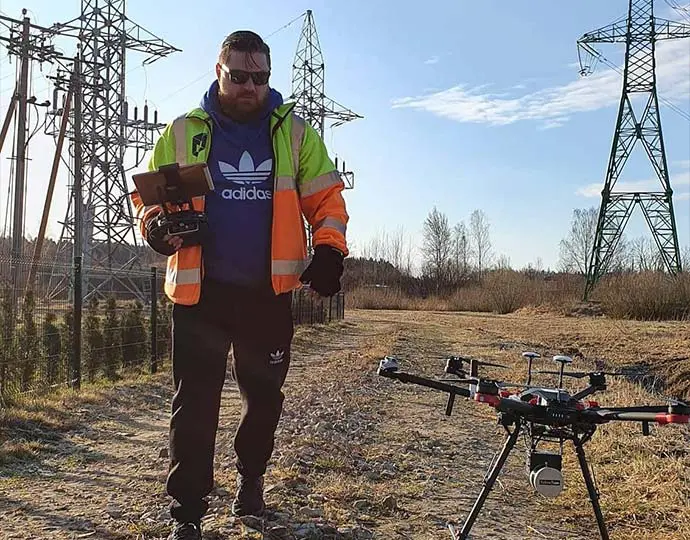
Using LiDAR for Energy & Utilities.
Reduce risks and costs in energy & utilities management.
Need help with your LiDAR project?
Let’s talk! Our team of experts can help you clarify your needs and propose the most suitable solutions for you to successfully complete your mission.
Our LiDAR solutions are the most efficient tools for acquiring highly accurate, dense data in energy and utilities applications.
Energy & Utilities
LiDAR applications
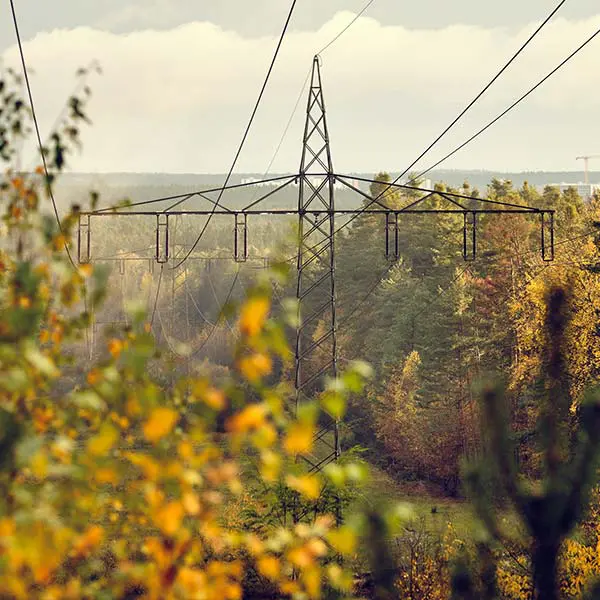
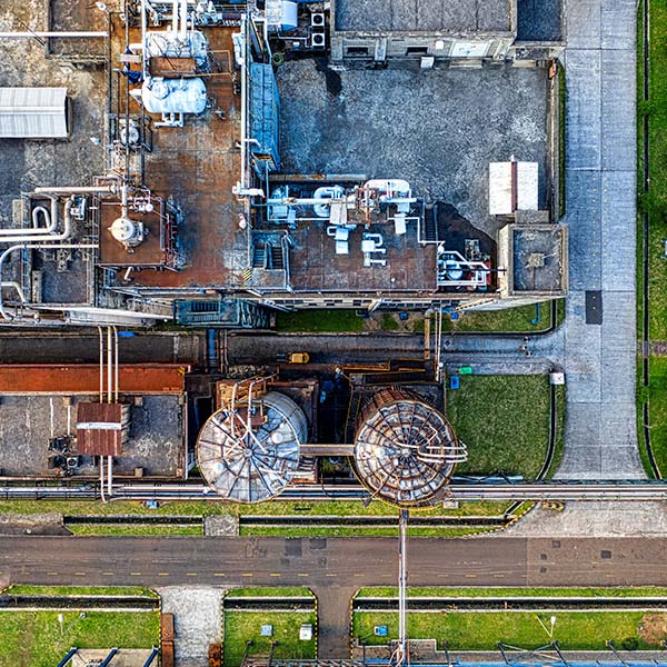
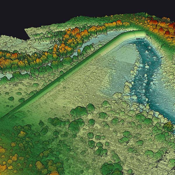
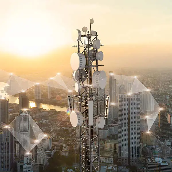
Knowledge base
Discover our solutions by reading about our users’ experience in the field.
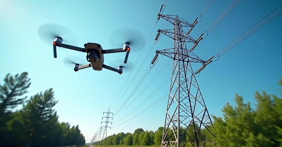
Aerial mapping with drones has revolutionized how utility companies monitor their vast powerline networks. Traditional inspection methods often involved helicopters, ground crews with binoculars, or climbing teams, all expensive, time-consuming, and sometimes dangerous approaches. However, drone technology now offers a safer, more efficient solution for powerline monitoring and vegetation management. These unmanned aircrafts can capture detailed imagery and data about powerlines and surrounding vegetation, enabling utility companies to identify potential hazards before they cause outages or fires.

Hero Image for How Weather Really Affects LiDAR Performance LiDAR technology employs light to measure distances with remarkable precision. Short for Light Detection and Ranging, this remote sensing method sends out laser pulses and measures their return time after bouncing off objects. The result creates detailed three-dimensional representations of environments.
In information analysis, measurements, and classification, especially with LiDAR solutions like those from YellowScan, the terms "accuracy" and "precision" are often confused. Although they have distinct meanings, both are essential for evaluating solution performance in fields such as UAV-based LiDAR mapping and machine learning.
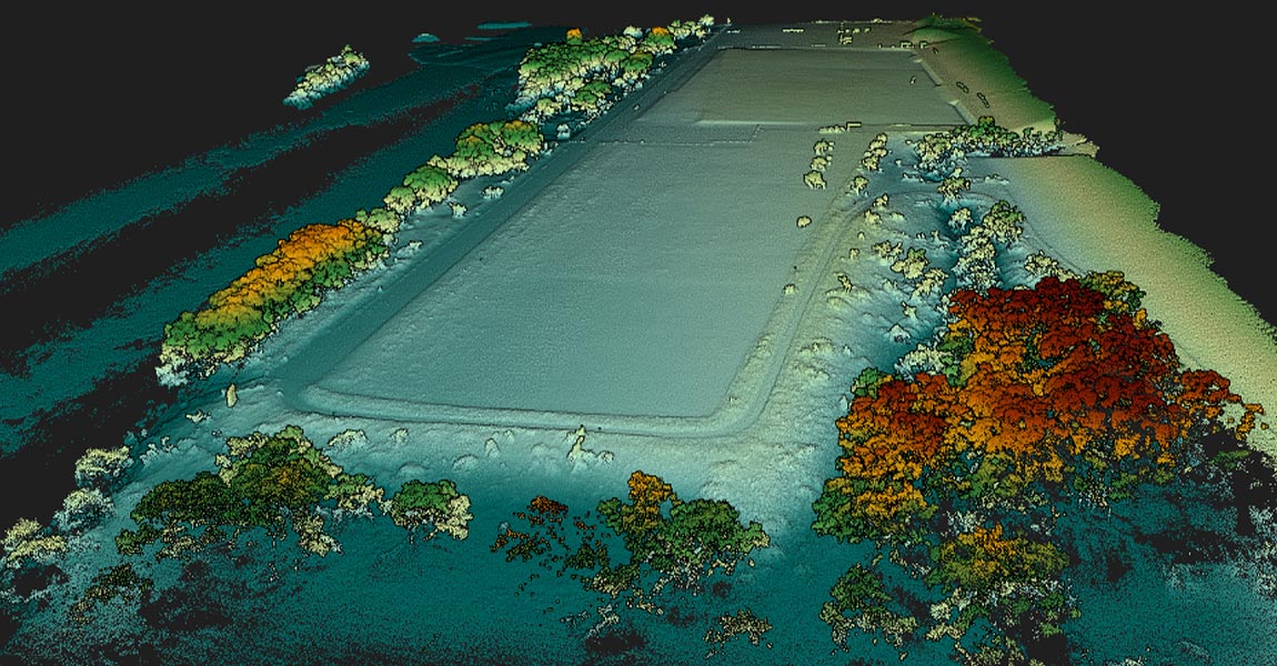
LiDAR technology sends out hundreds of thousands of laser pulses each second. It achieves impressive accuracy between 2.5 and 10 centimeters in surveyed areas. This precision makes it a great way to get data for creating detailed 3D point clouds that serve applications of all types, from geology to urban planning.
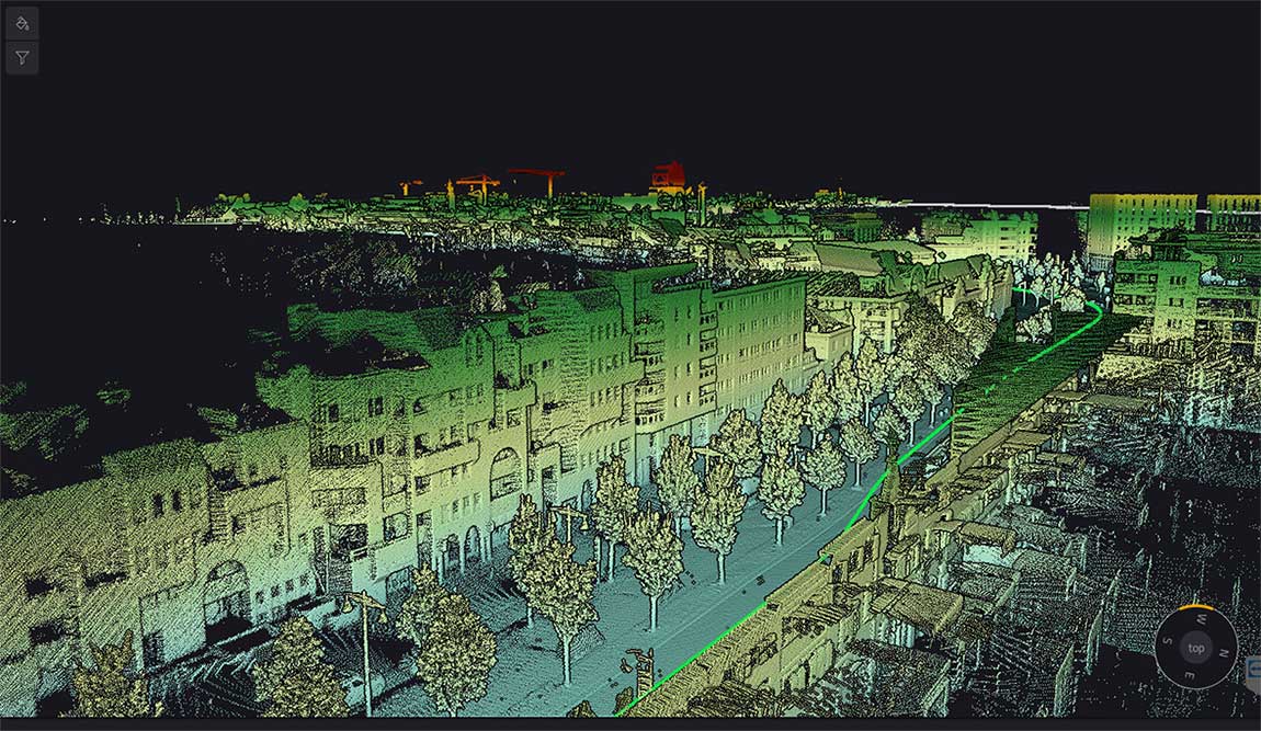
LiDAR (Light Detection and Ranging) serves as the life-blood of modern navigation systems. It provides precise spatial measurements through an elegant yet powerful operational principle. Unlike passive sensing technologies, LiDAR actively emits laser pulses toward objects and measures the reflection time back to the sensor. This time-of-flight measurement helps calculate exact distances using the formula d = (c × Δt) / 2, where c represents light speed and Δt indicates the time delay.
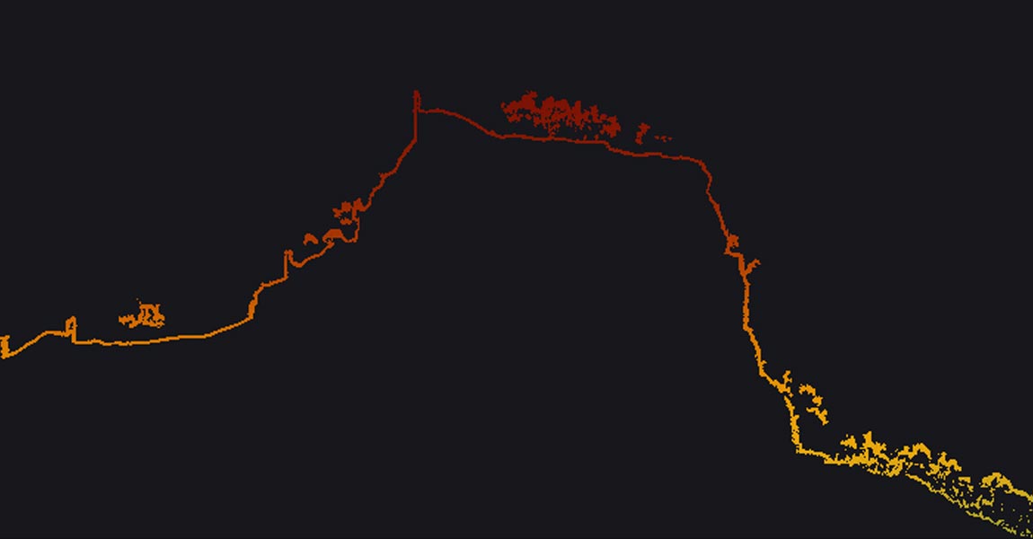
LiDAR accuracy is the life-blood of reliable spatial data acquisition. The basic concept shows how close a LiDAR measurement comes to the actual real-life value. At the time professionals discuss LiDAR accuracy, they express it as a range (±2cm) or as a standard deviation (3cm to 1σ).
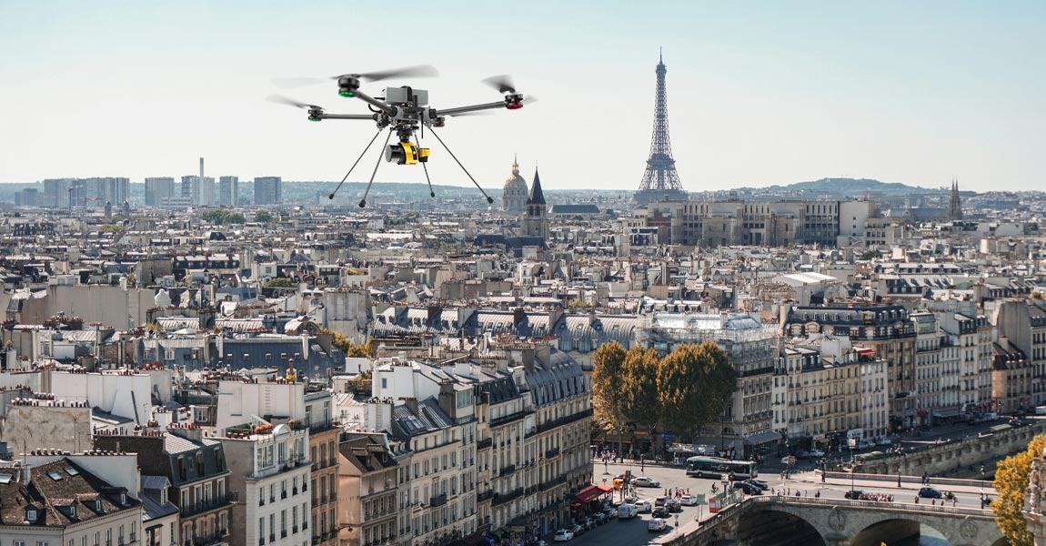
We’re surrounded by raw data—from customer clicks online to 3D landscapes captured by laser scanning devices like LiDAR. Every day, vast volumes of information flow from sensors, online sales, customer surveys, or the LiDAR systems YellowScan offers.
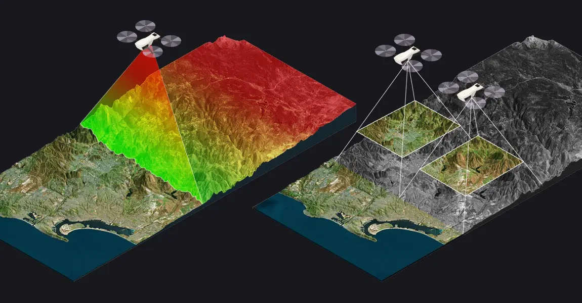
This article compares two popular technologies for creating 3D models and maps: photogrammetry and LiDAR. The focus lies on key differences between both: how they work, the different outputs created for each, and popular use cases. The article finishes with a discussion of why investing in LiDAR can be a better choice, despite higher costs.
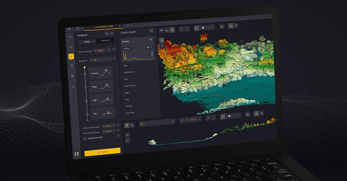
This article explains what LiDAR point clouds are and how they are used for 3D mapping applications. Learn the basics of LiDAR point clouds!
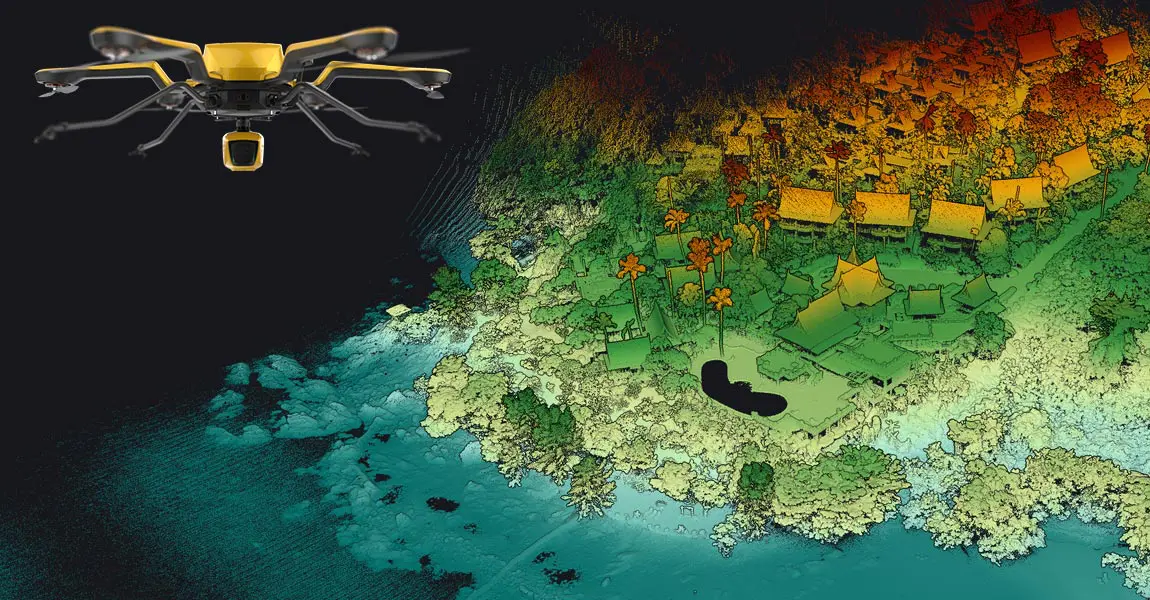
LiDAR scanners are used for capturing 3D point clouds. But how do they work? This and more are explained in the article below, which covers the operating principle of different LiDAR scanners and explains how distance measurements are transformed and combined into 3D point clouds. These provide the basis for many 3D mapping products used for different industry applications.
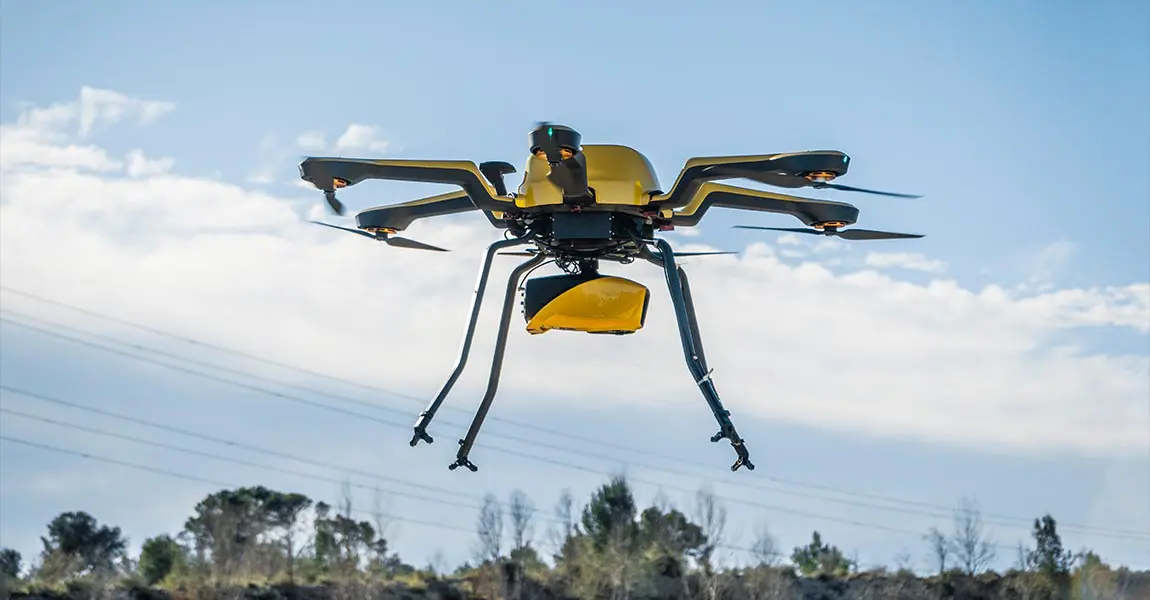
A LiDAR drone is an unmanned aerial vehicle (UAV) equipped with Light Detection and Ranging (LiDAR) sensors. A LiDAR is an active sensor that uses inertial measurement to correlate where it is on the earth’s surface, resulting in a direct measurement of the earth.
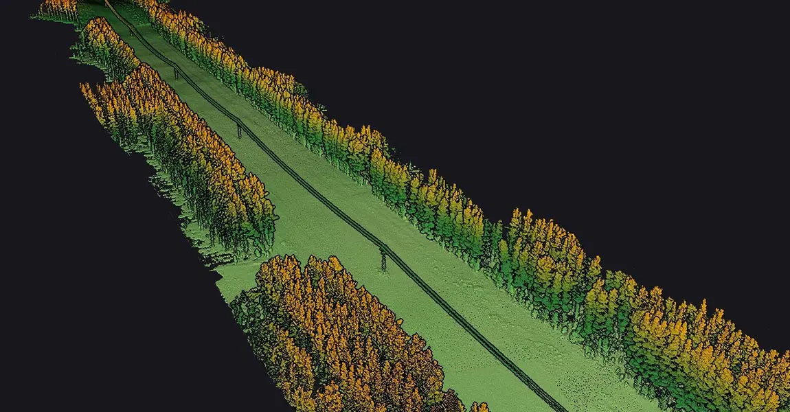
Carbonix, a leading manufacturer of commercial UAVs in Australia, became involved in a significant project when approached by an Australian power network seeking solutions for scanning their transmission and distribution lines in challenging, undulating terrain. They reached out to Carbonix to see if they had a system and sensor combination that could effectively meet their brief.
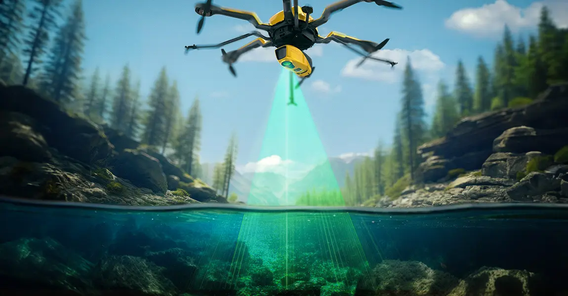
How does laser scanning work underwater? How can a laser penetrate water? Discover this innovative technique for marine surveys and research.
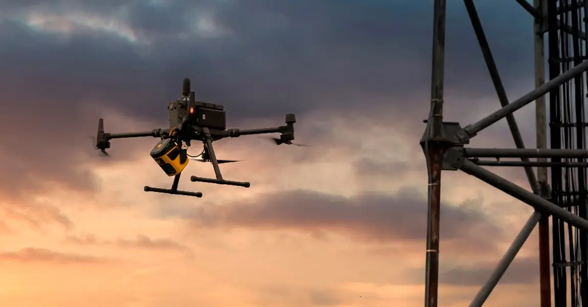
Discover how a customer created the digital twin of a telecommunications tower in order to perform line of sight and radio frequency simulation analysis.
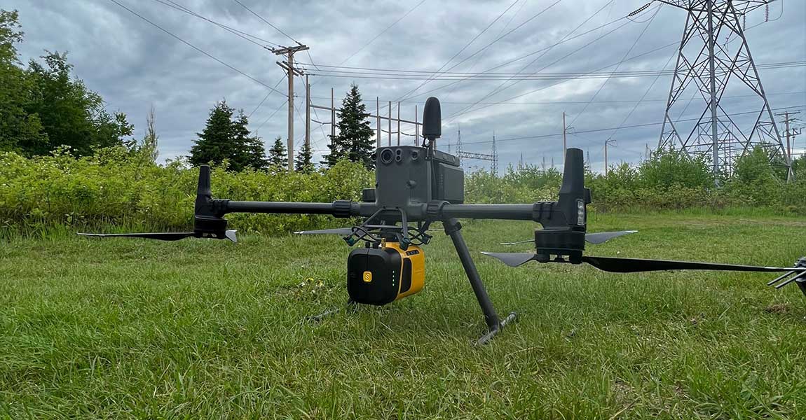
Our client, CIMA+, a renowned multidisciplinary company based in Canada, specializes in engineering, project management, and consulting services across various sectors. They were commissioned to conduct surveys of electrical powerlines.
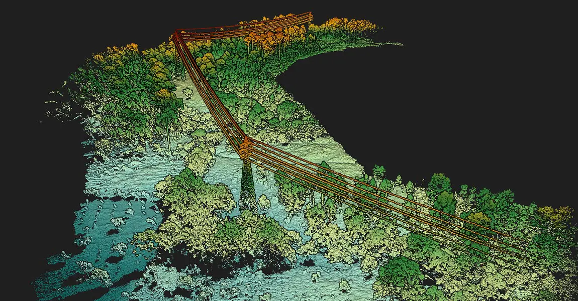
The stated objective was to produce LiDAR data that would ensure safety in the power line corridor by detecting dangerous vegetation.
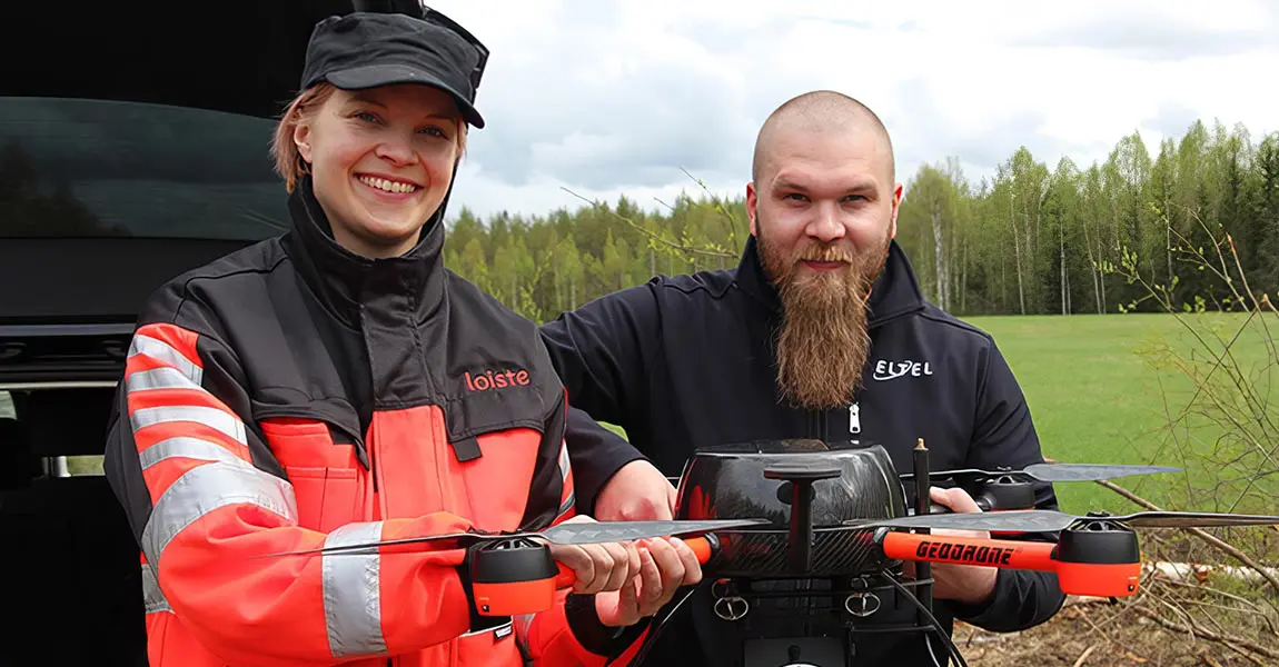
Eltel, a Nordic field service provider for power and communication networks, conducted in 2019 a pilot study with Loiste a Finland-based energy company.

Discover how Juniper reduced post-processing time to 3 days using YellwScan solution while it takes up to 42 days with a traditional survey.

Unveiling What’s Next in LiDAR by YellowScan



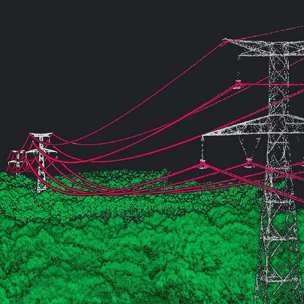
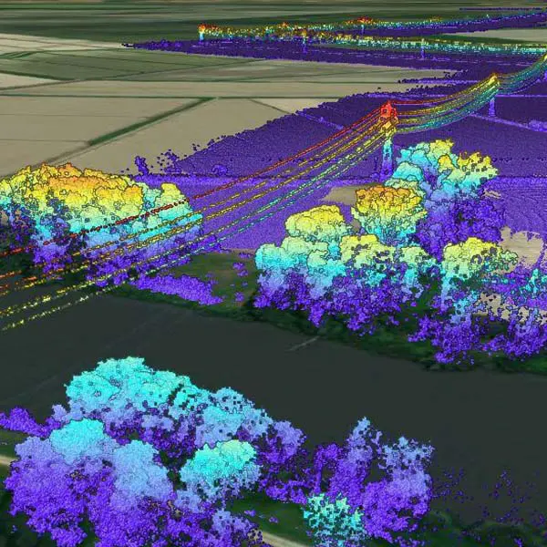
Vegetation encroachment
The only technology that gives the true distance to the vegetation in near real-time. Scan fast-growing vegetation sections as often as needed.
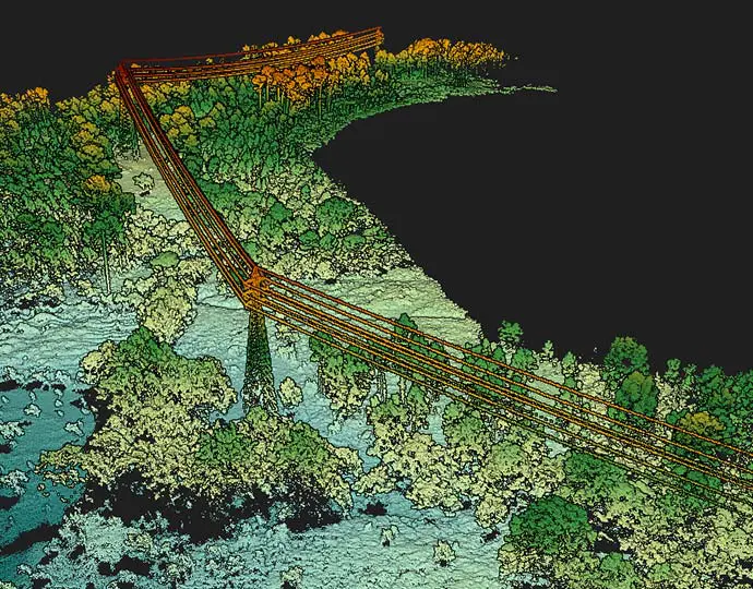
Optimized maintenance operations
Ideal for surveying limited sections of the network which has not/can’t be scanned with airborne LiDAR (leftovers, hard-to-access, fast-growing vegetation sections…)
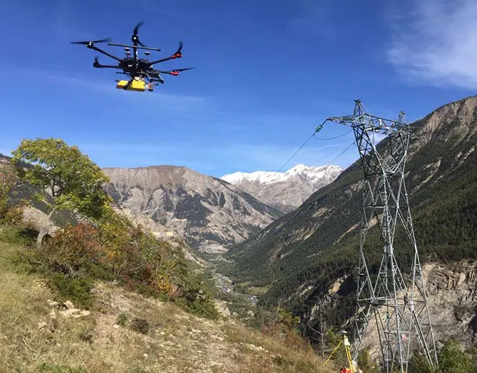
Low mobilization and demobilization
Easy to deploy and cost-effective tools for mapping areas of interest.
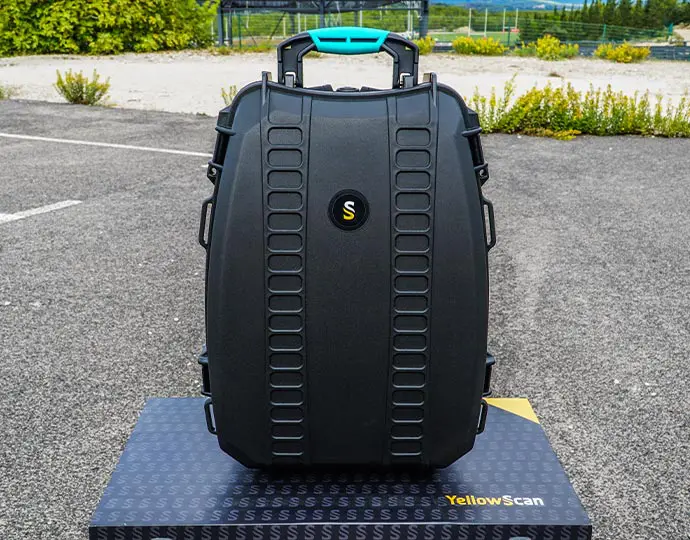
Security
YellowScan systems allow for quick & complete acquisition while eliminating manned airborne or on-the-ground logistics